"The landscape designer's task lies somewhere between active craft, intervening materially with landscape technologies and modest, subtle adoption of nature's processes."
Dee, Catherine. "Form, Utility, and the Aesthetics of Thrift in Design Education." Landscape Journal, Vol. 29, No. 1, 2010, pp. 29.
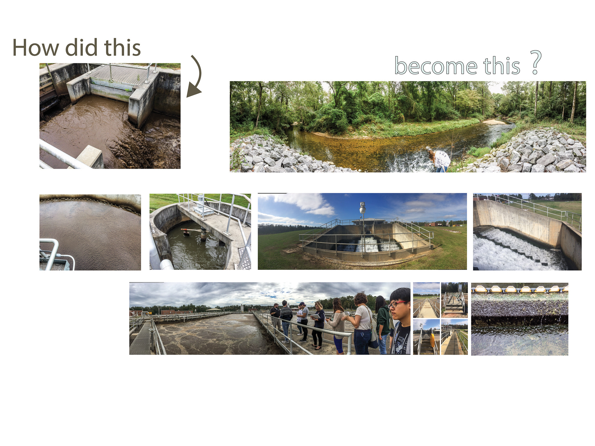
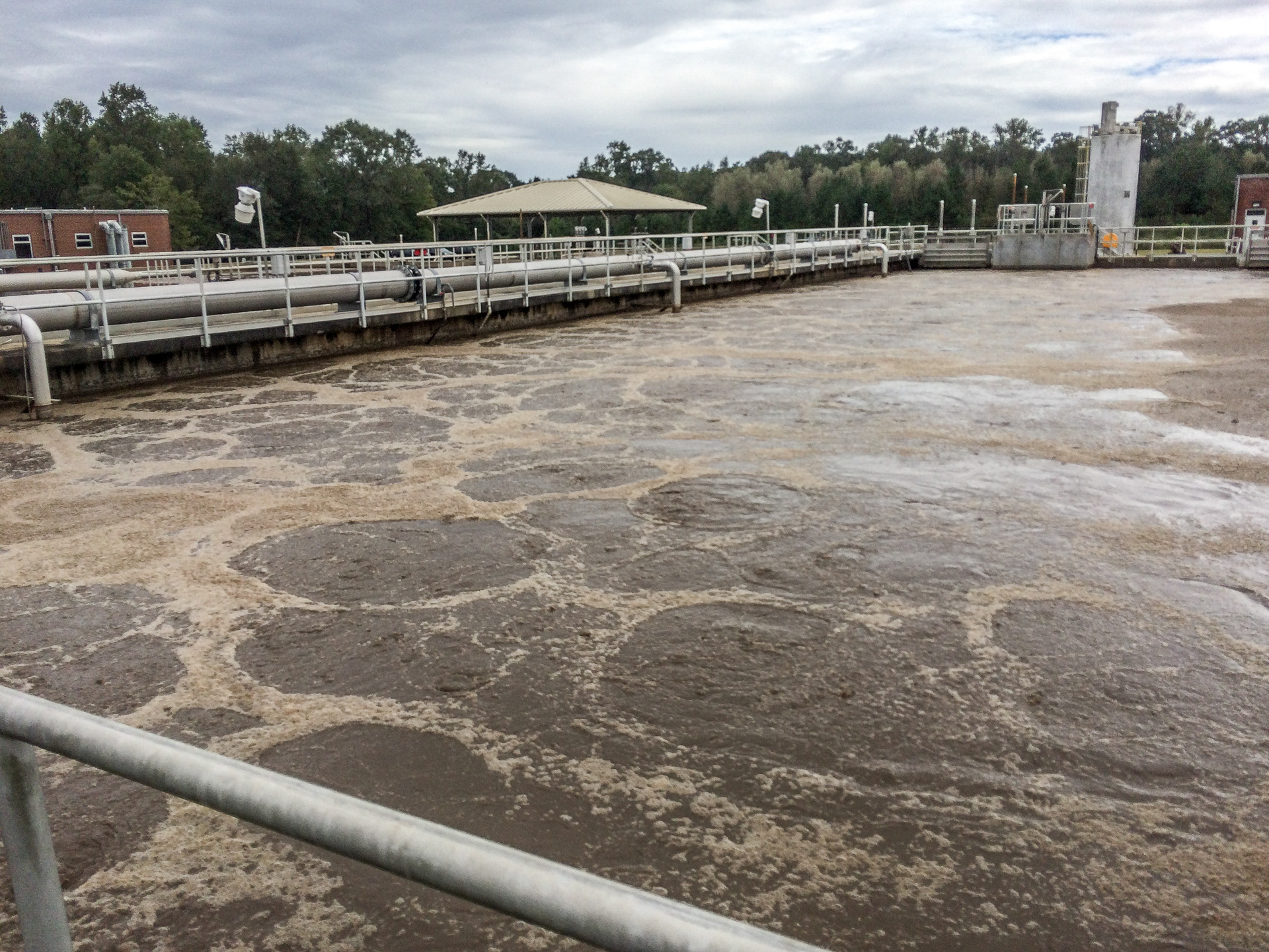
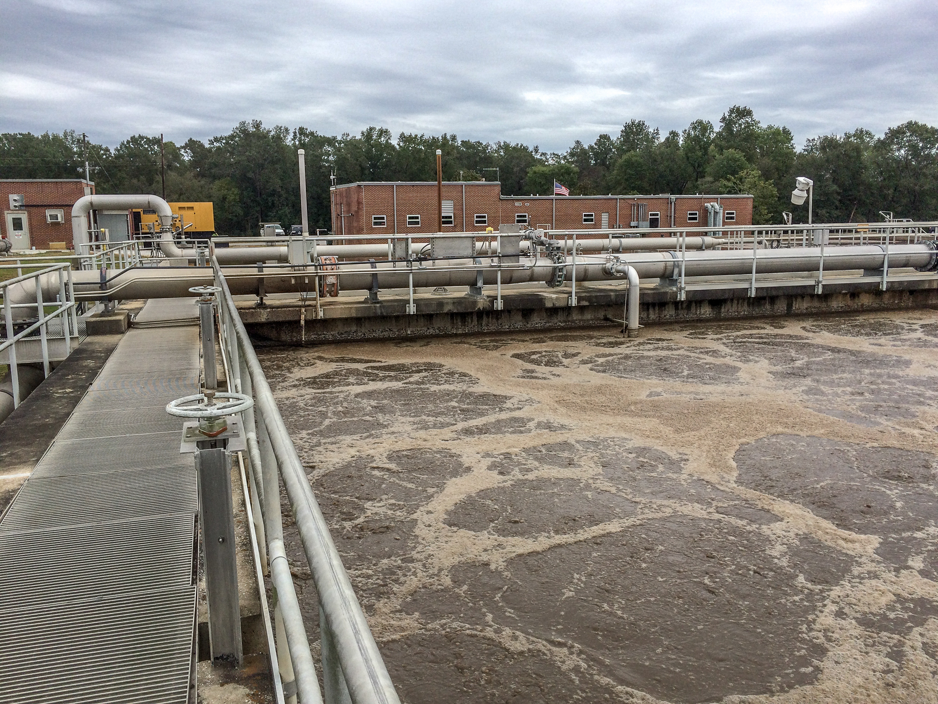
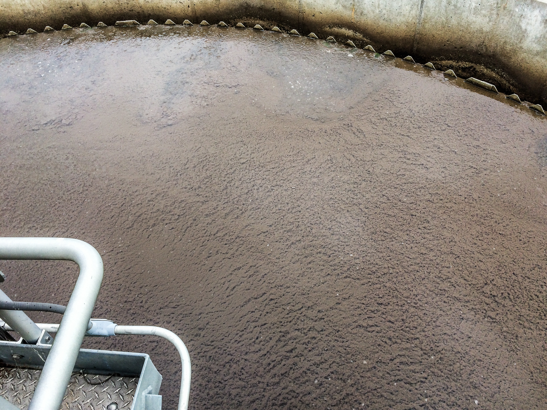
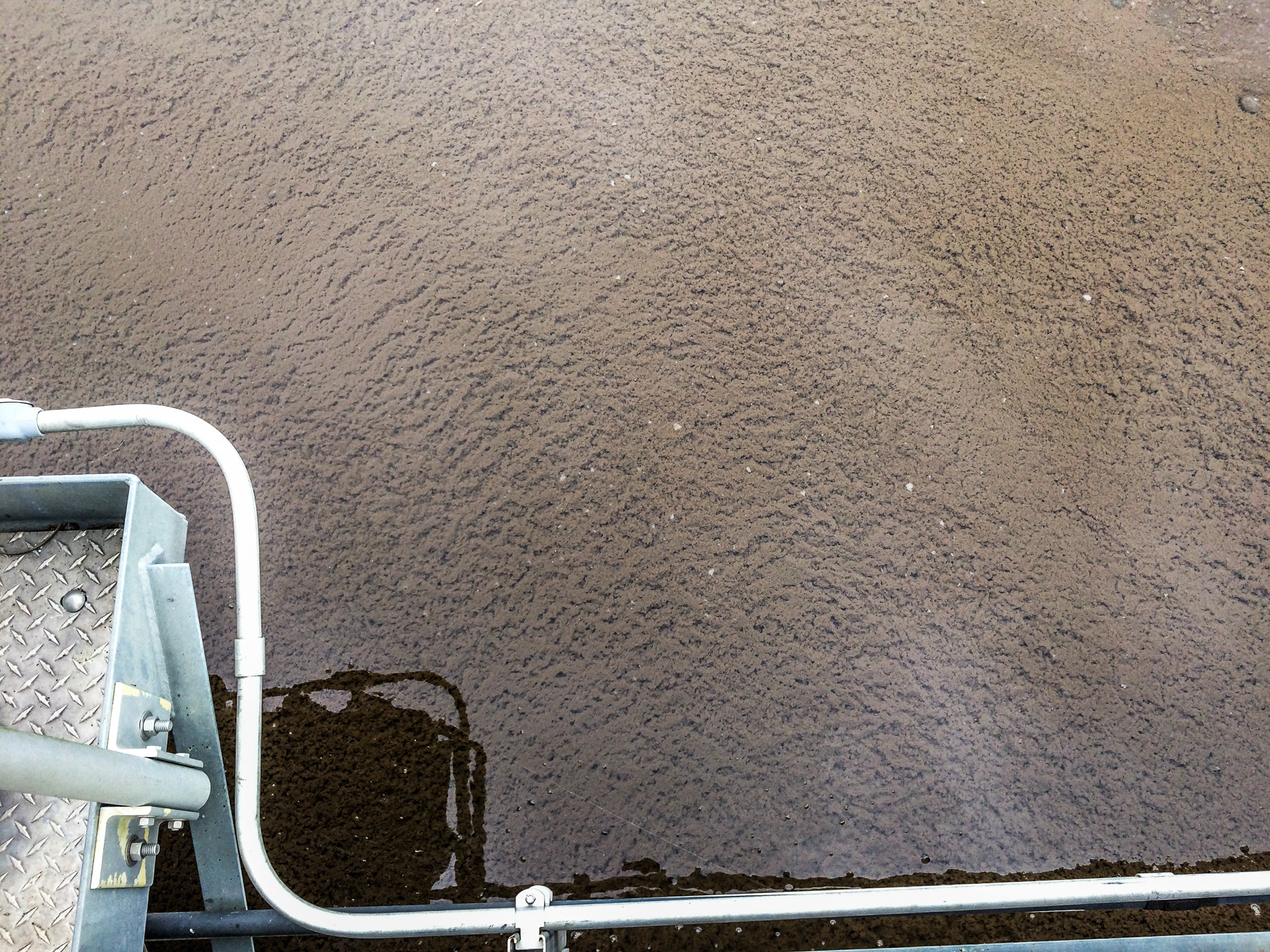
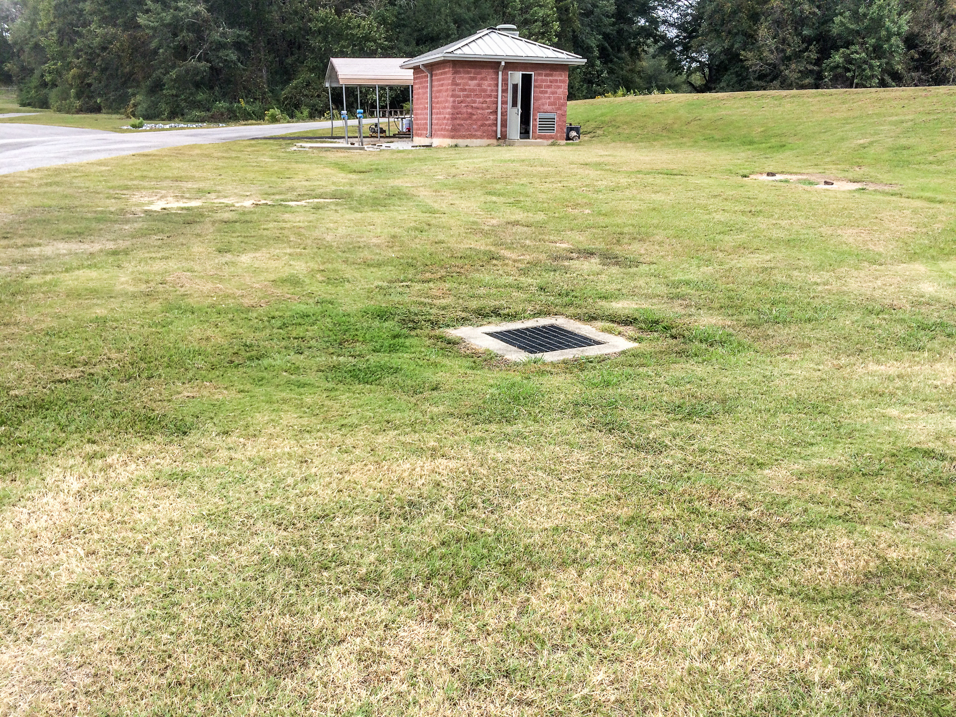
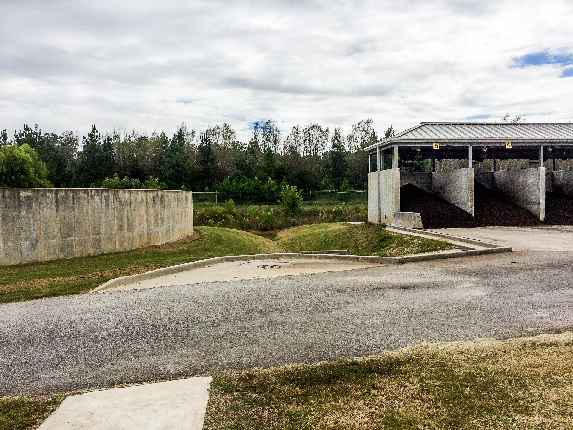
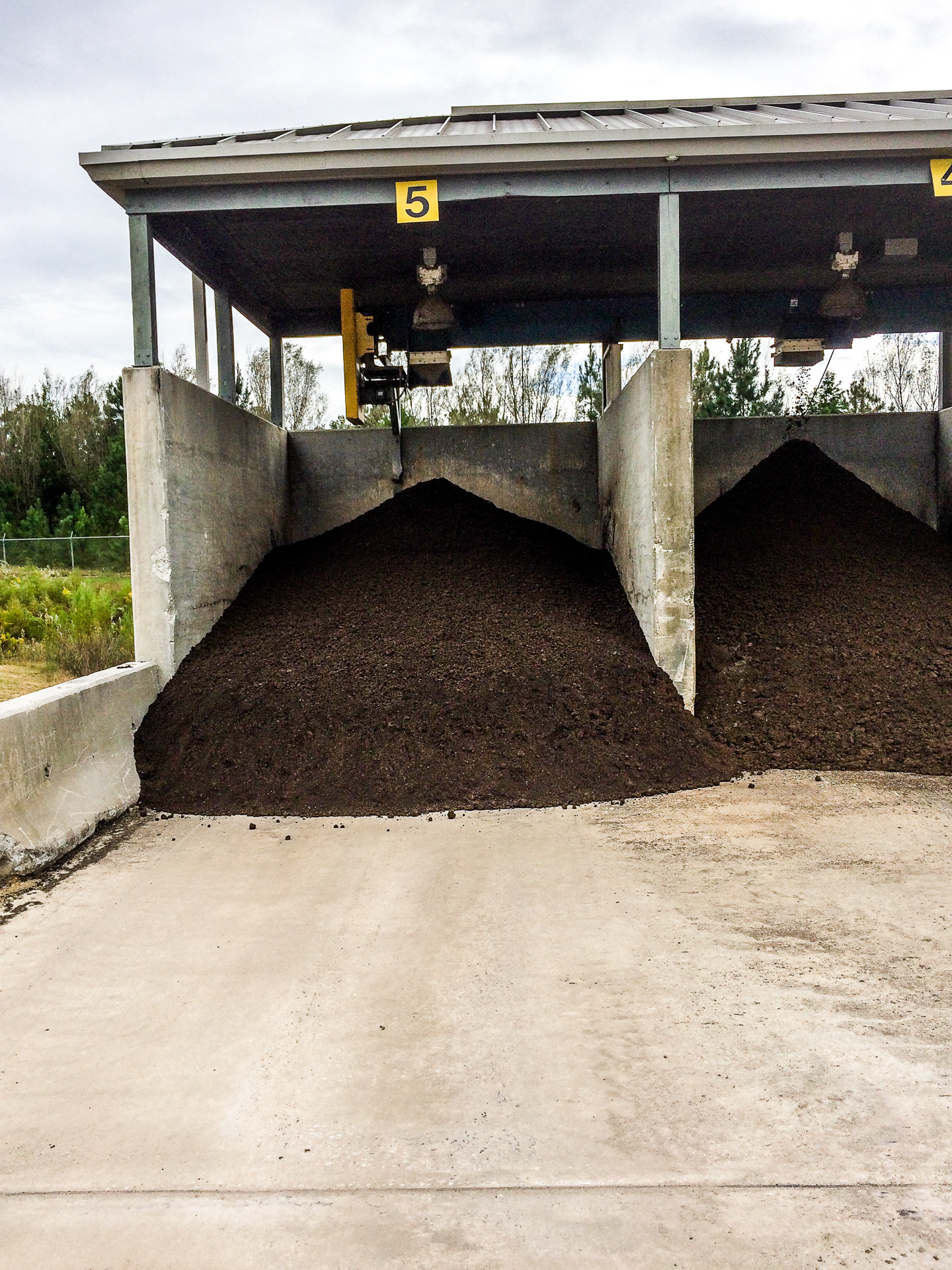
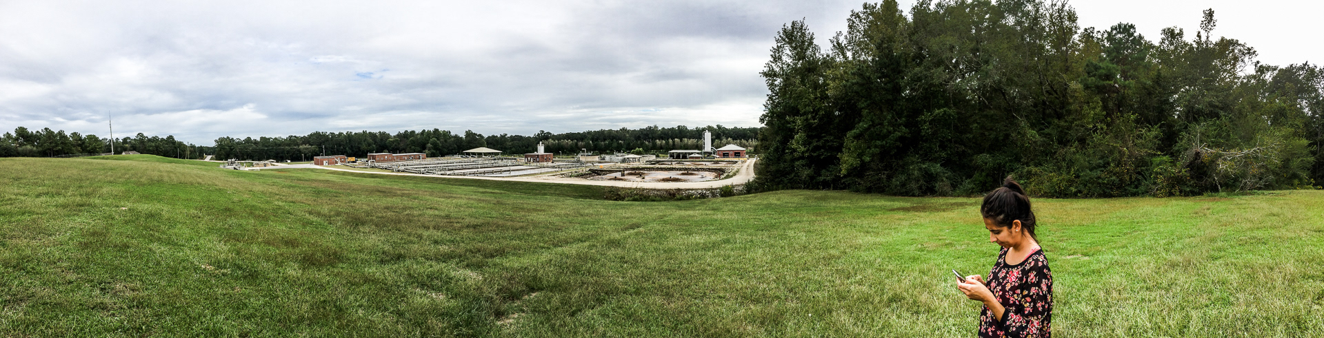
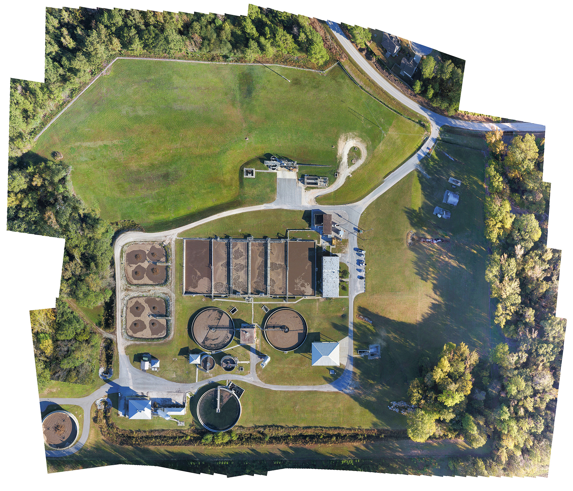
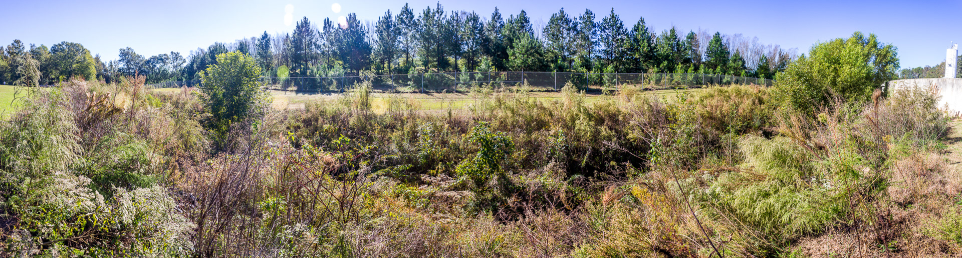
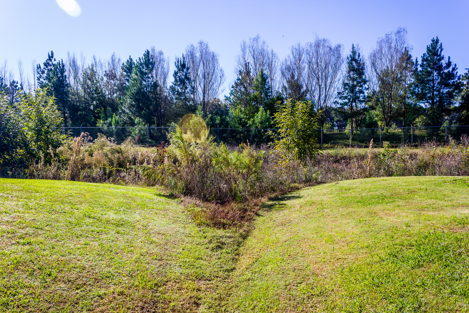
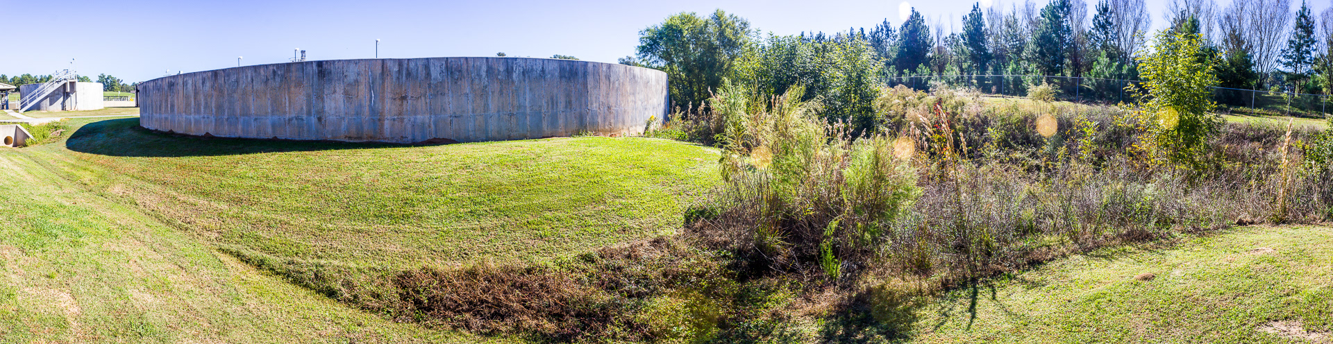
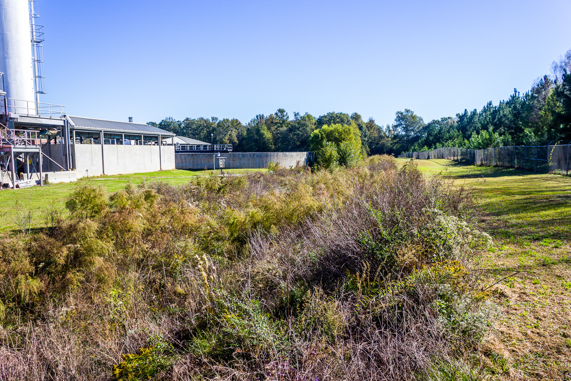
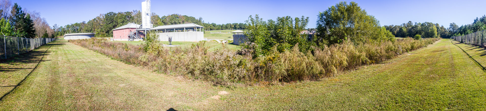
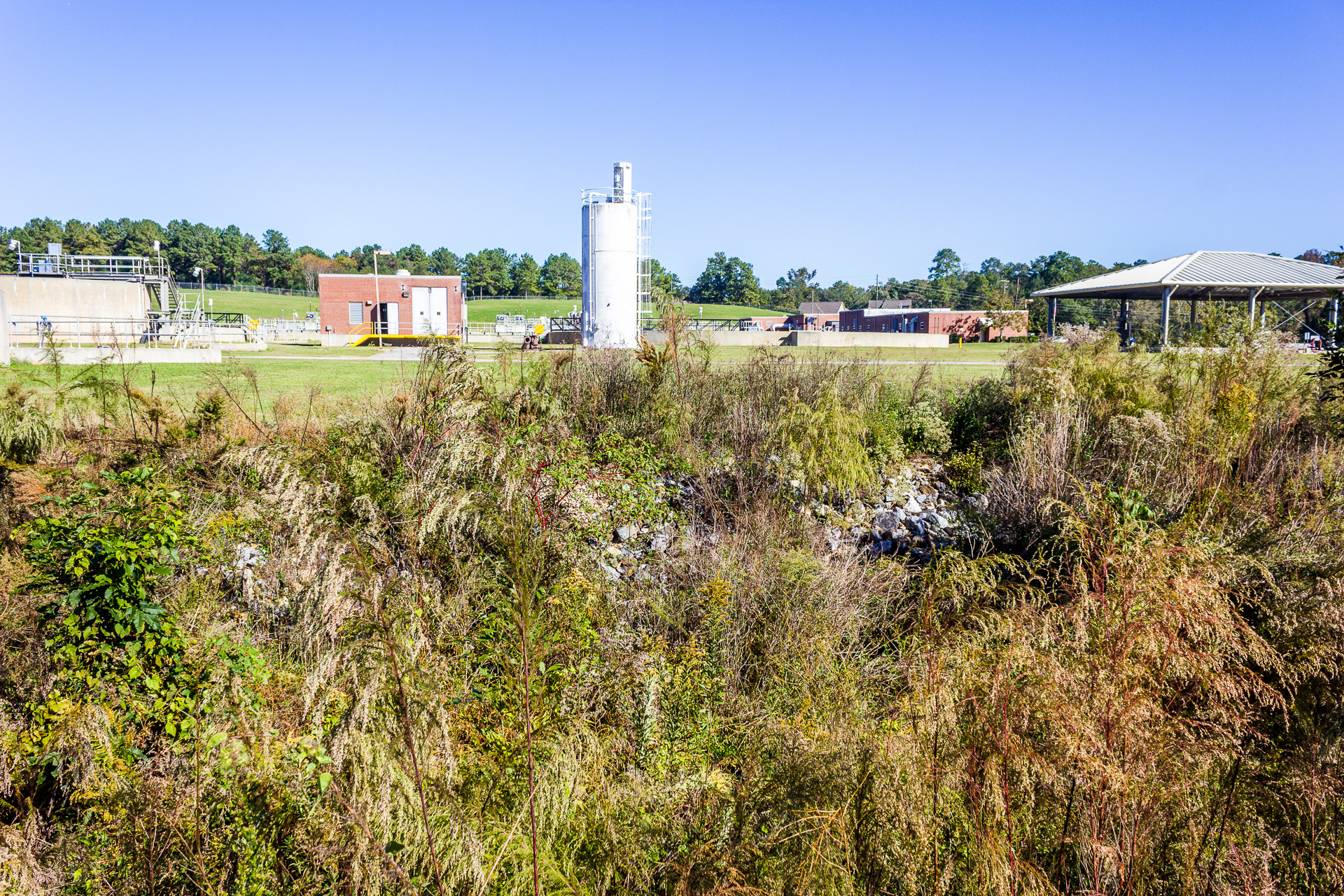
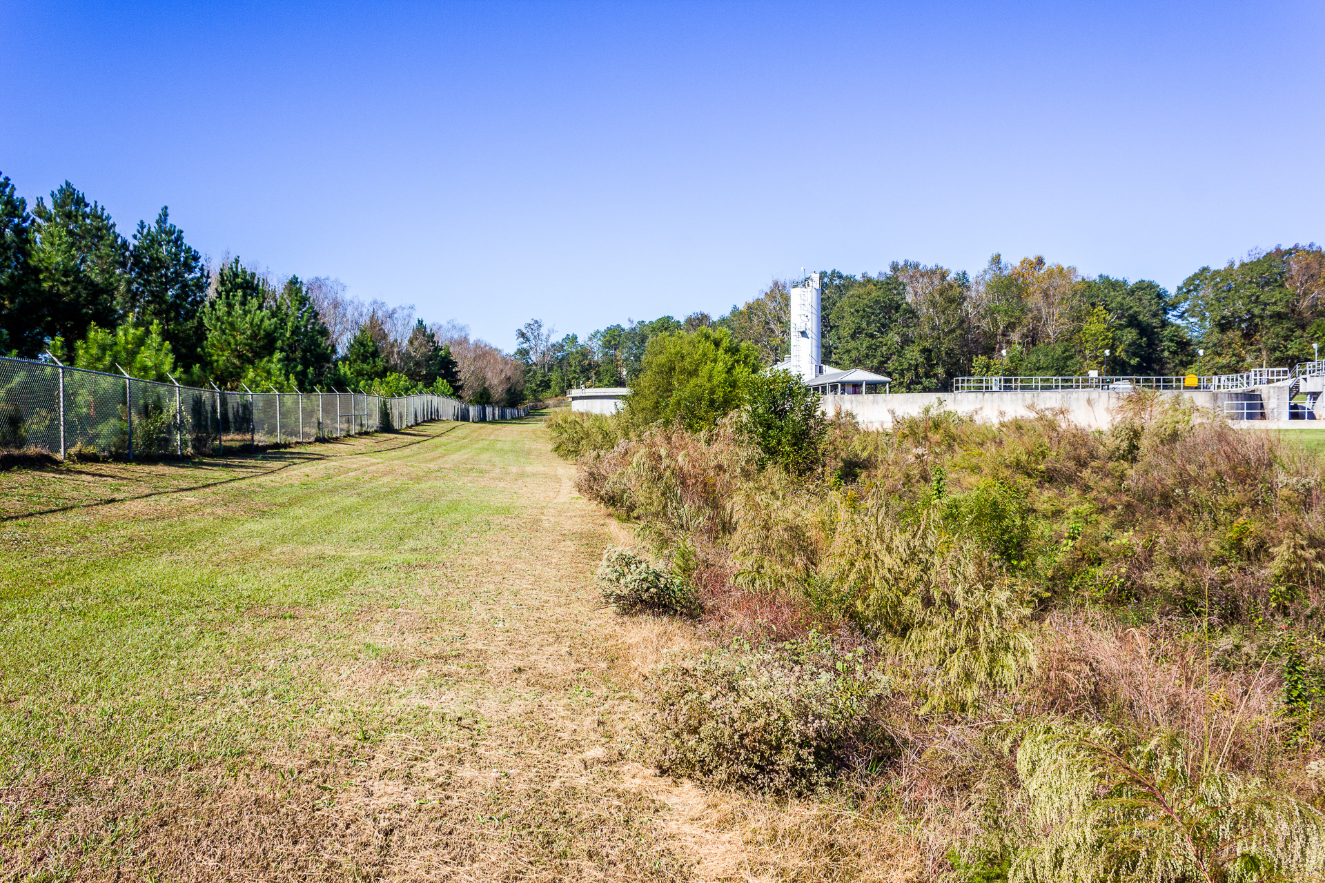
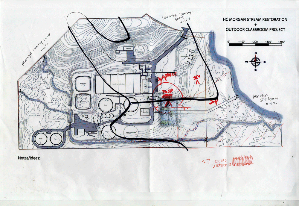
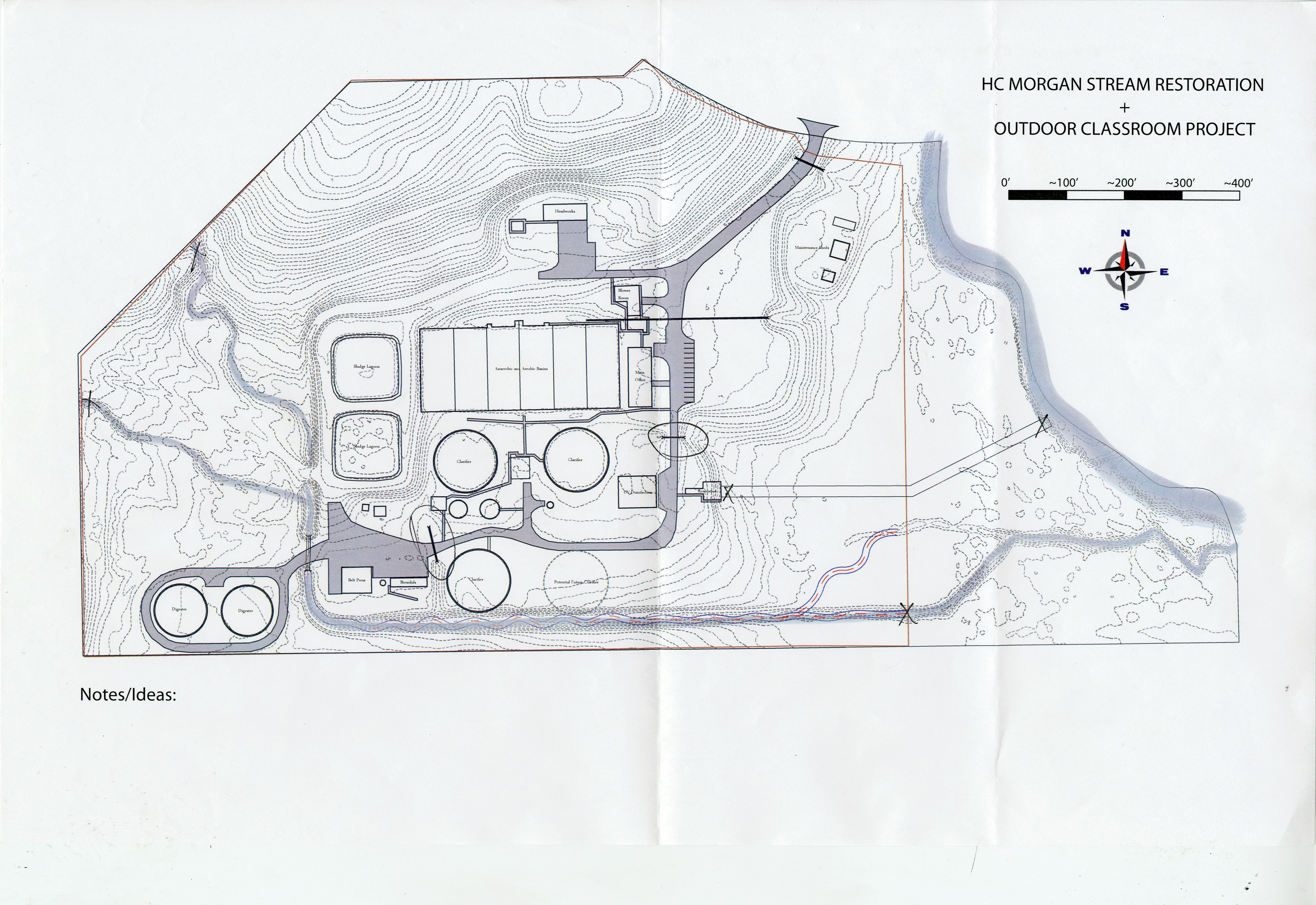
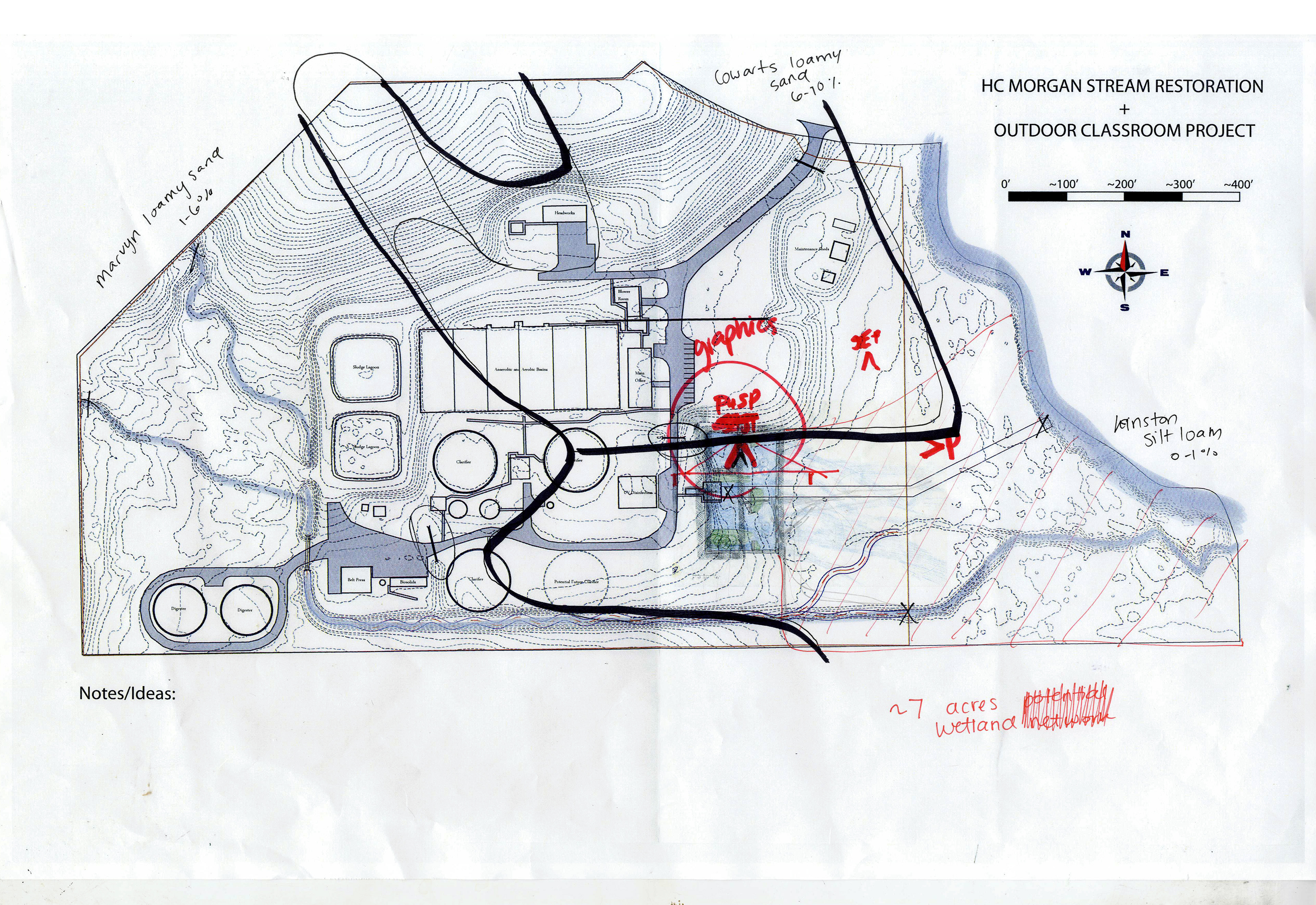
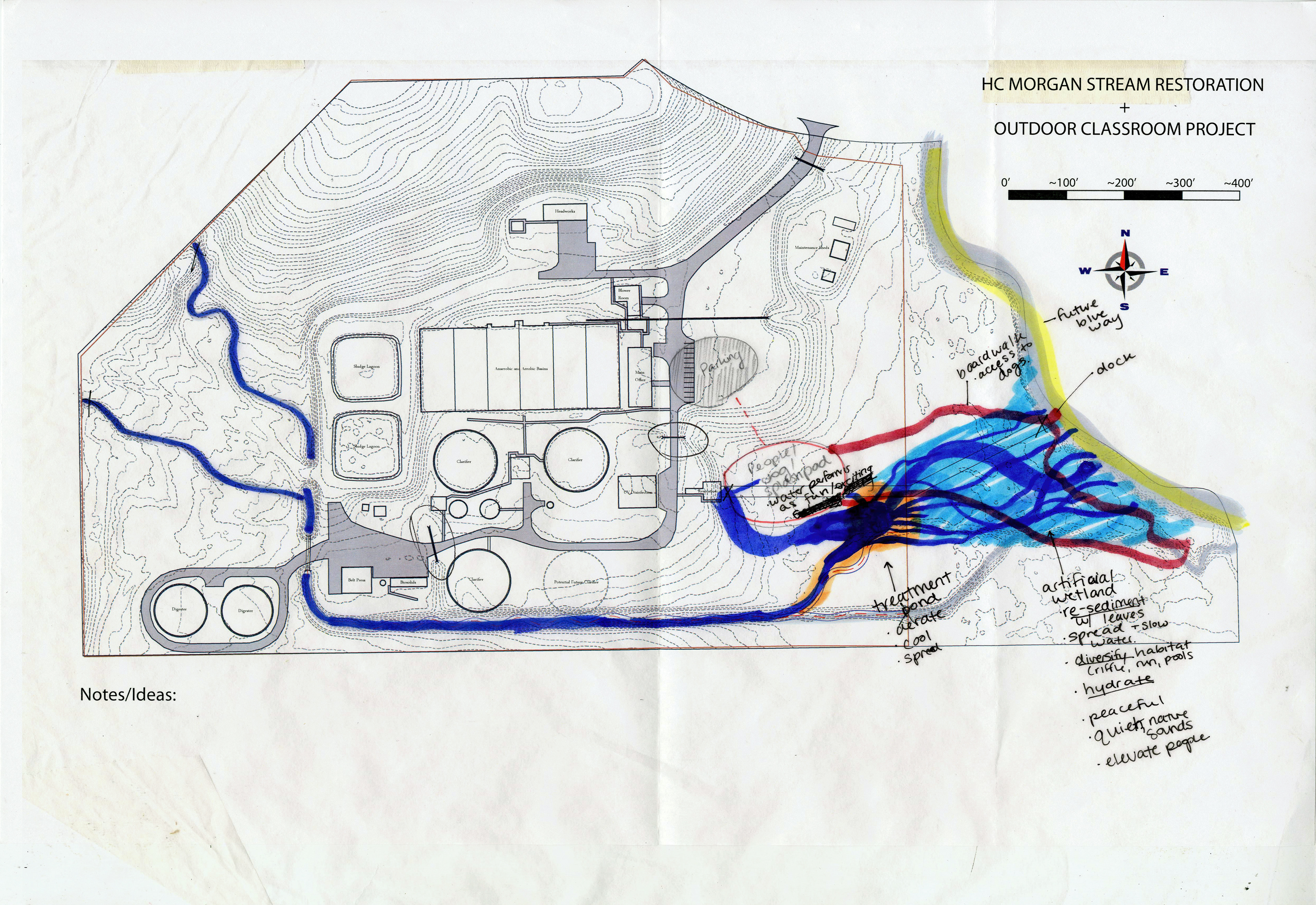
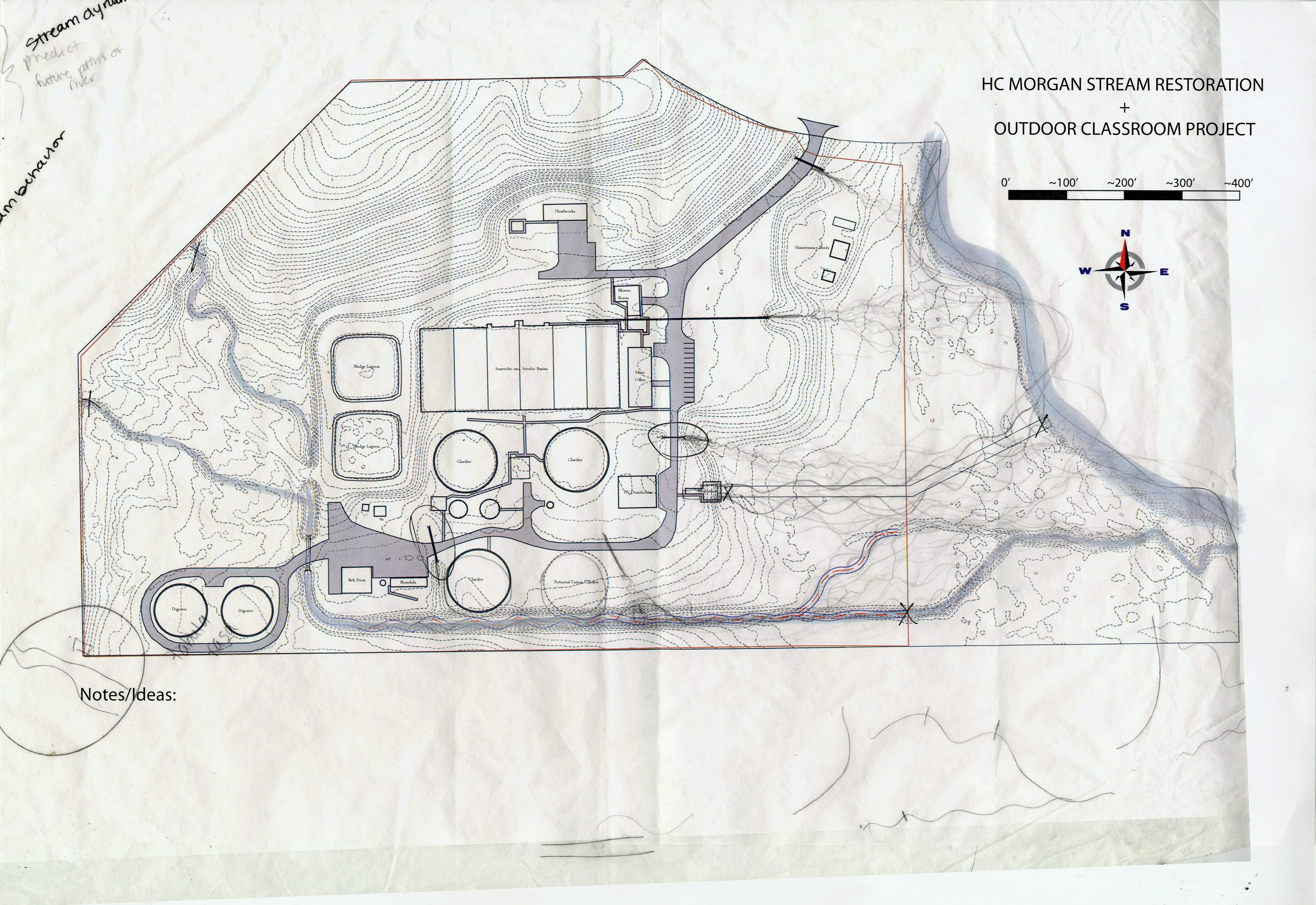
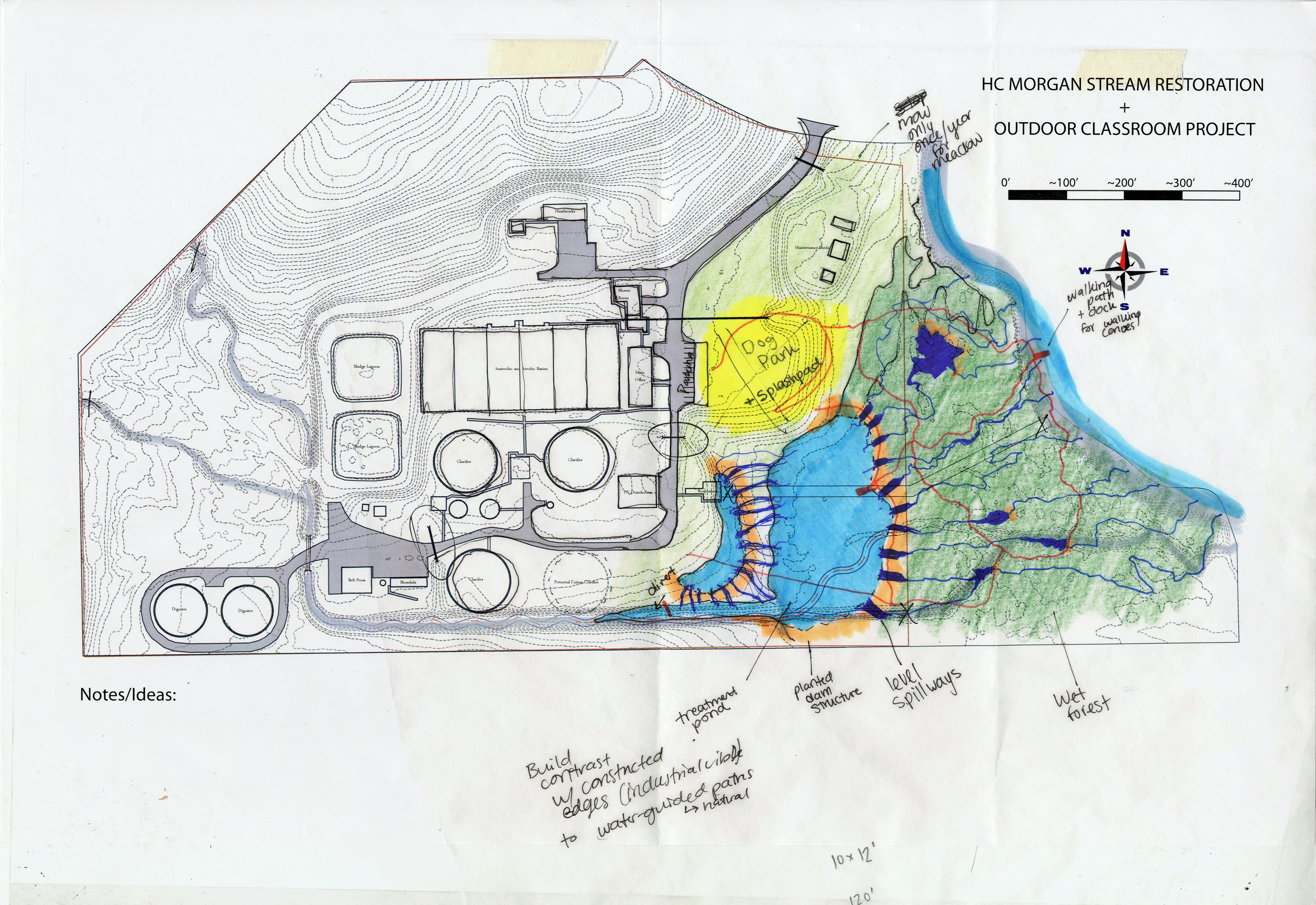
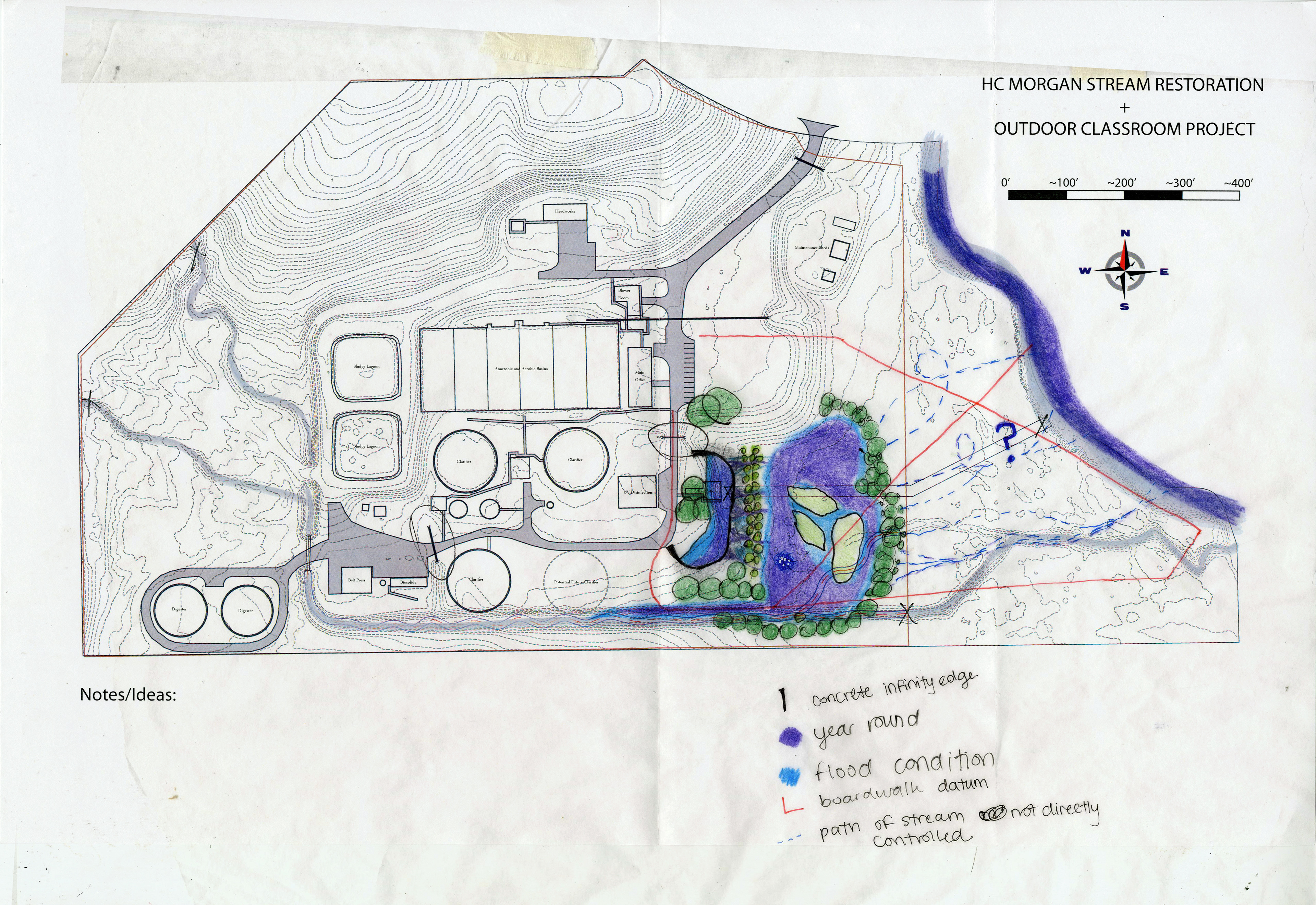
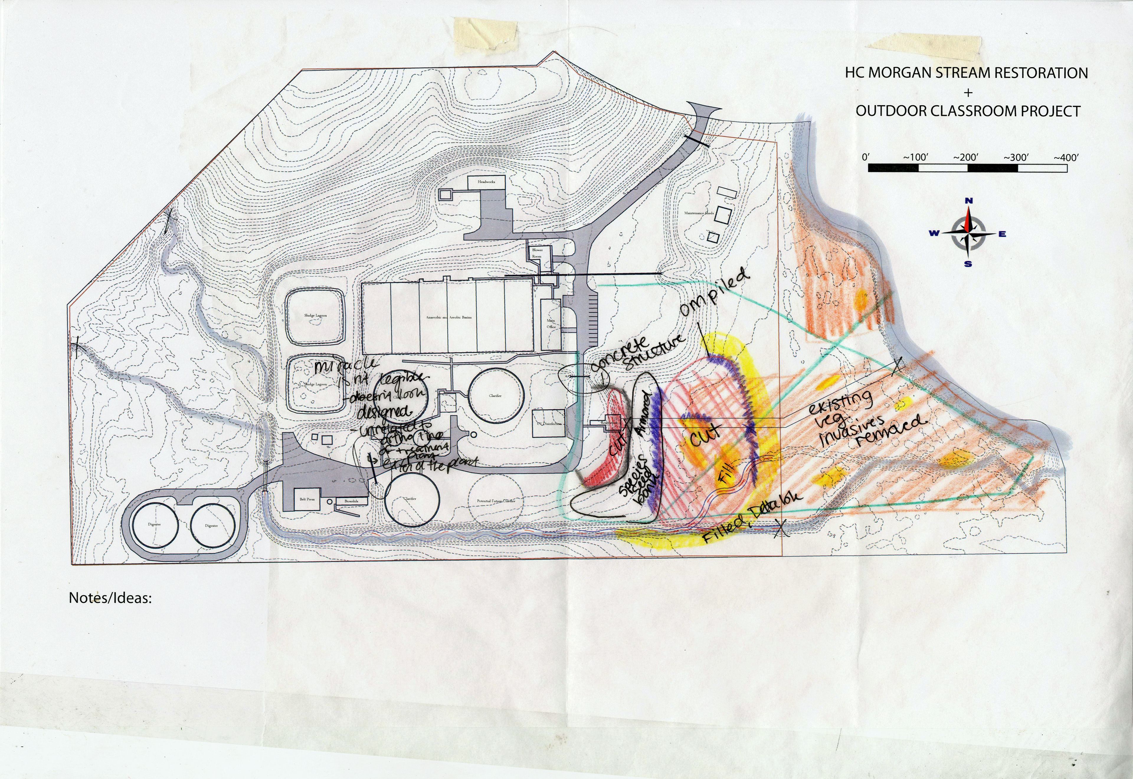
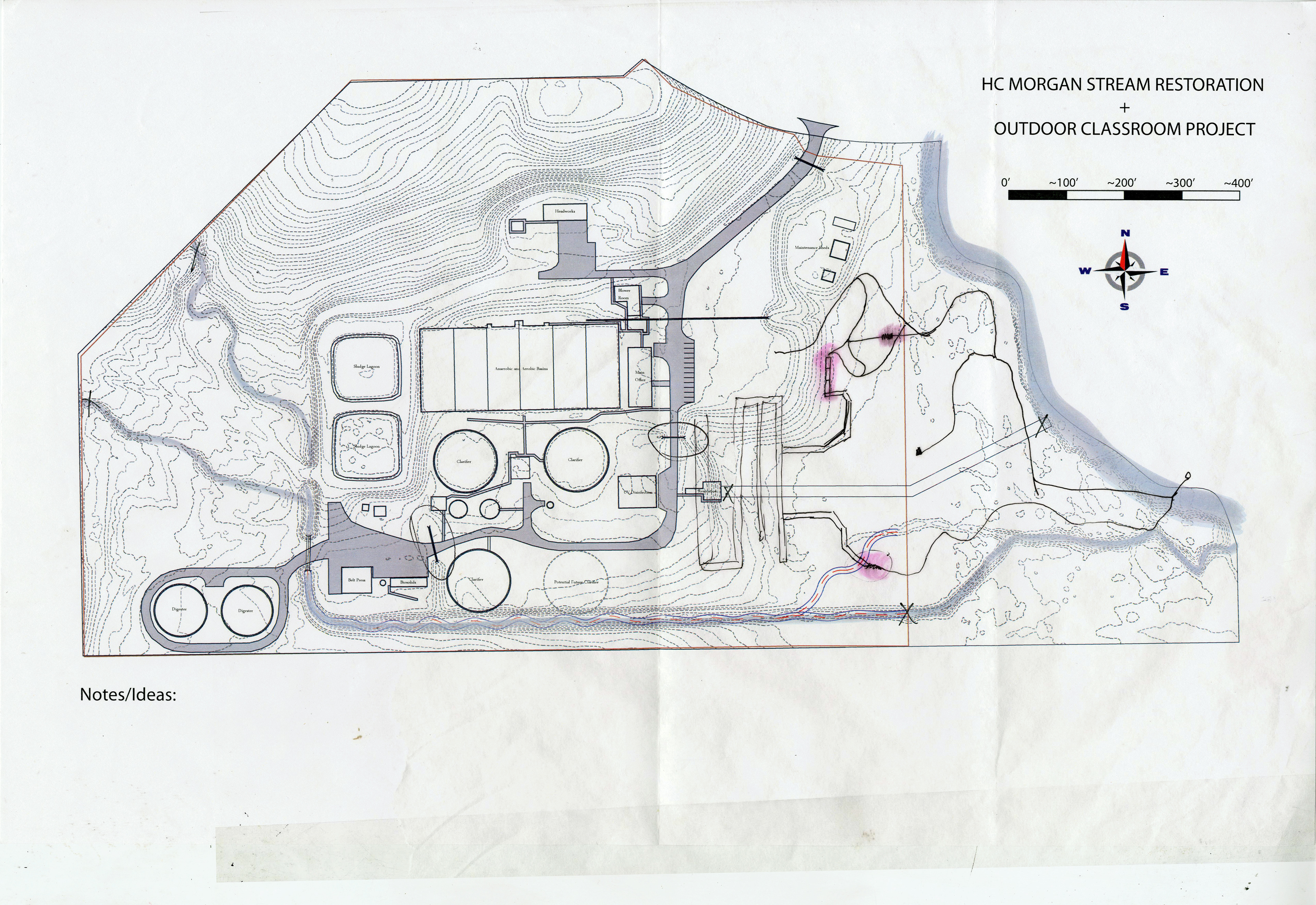
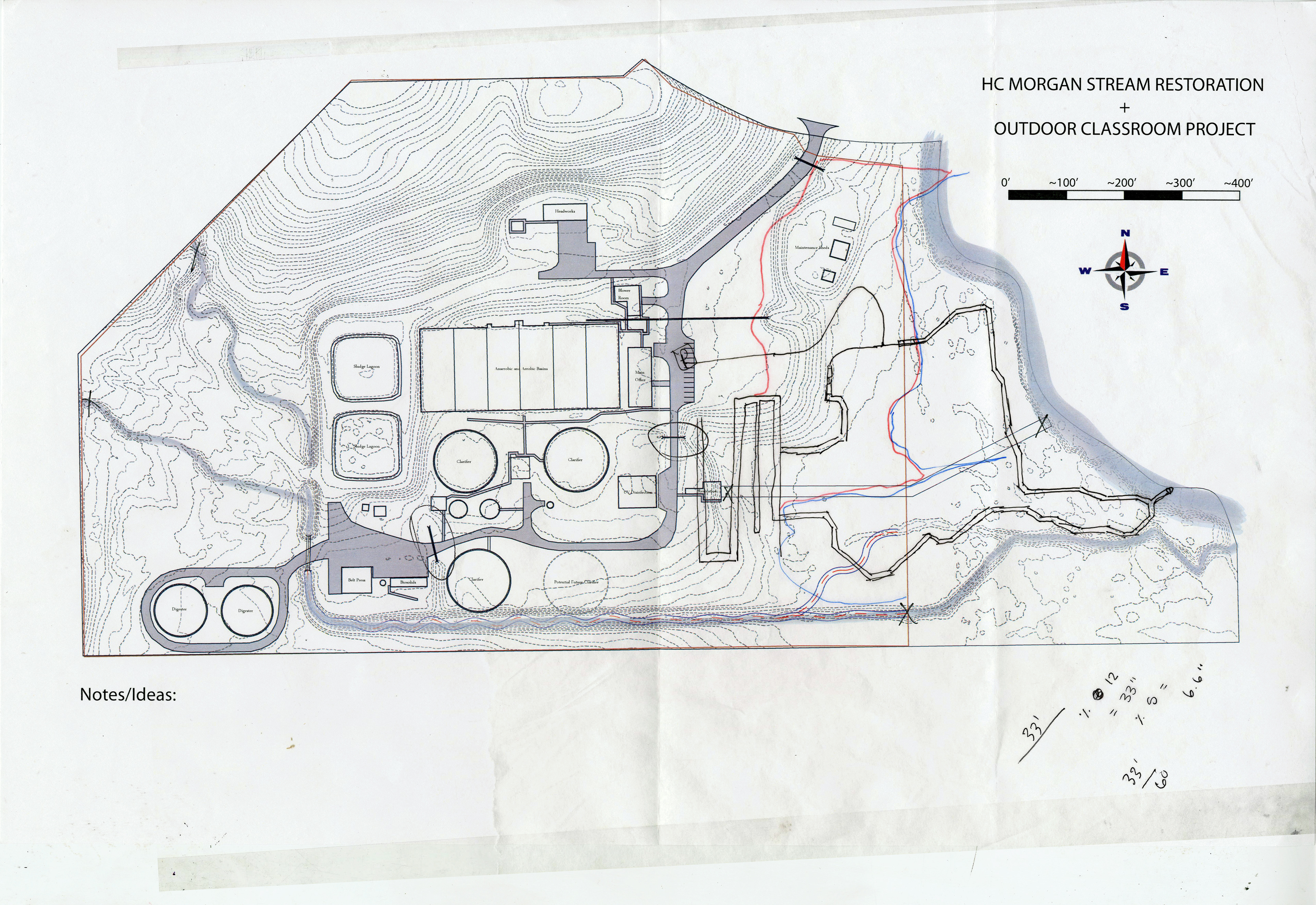
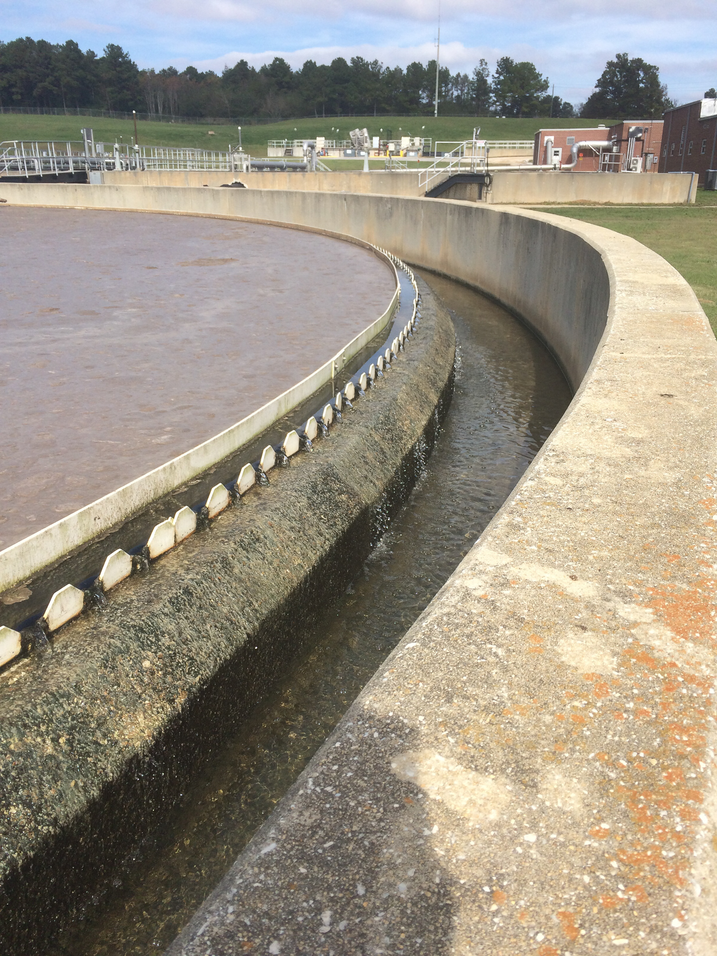
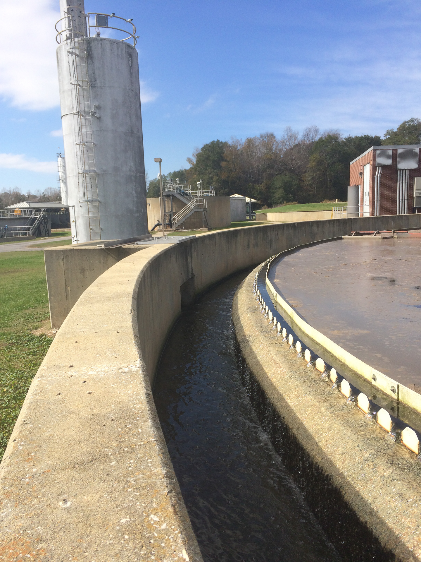
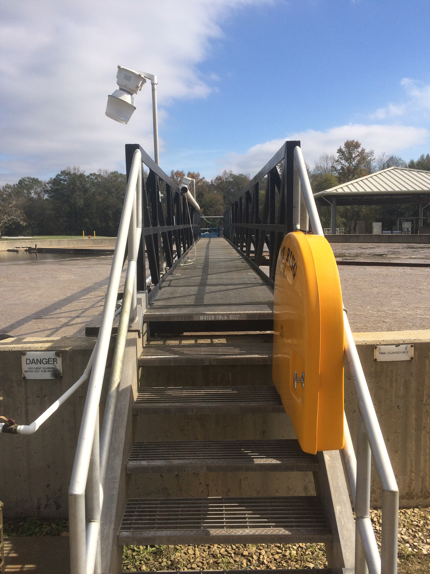
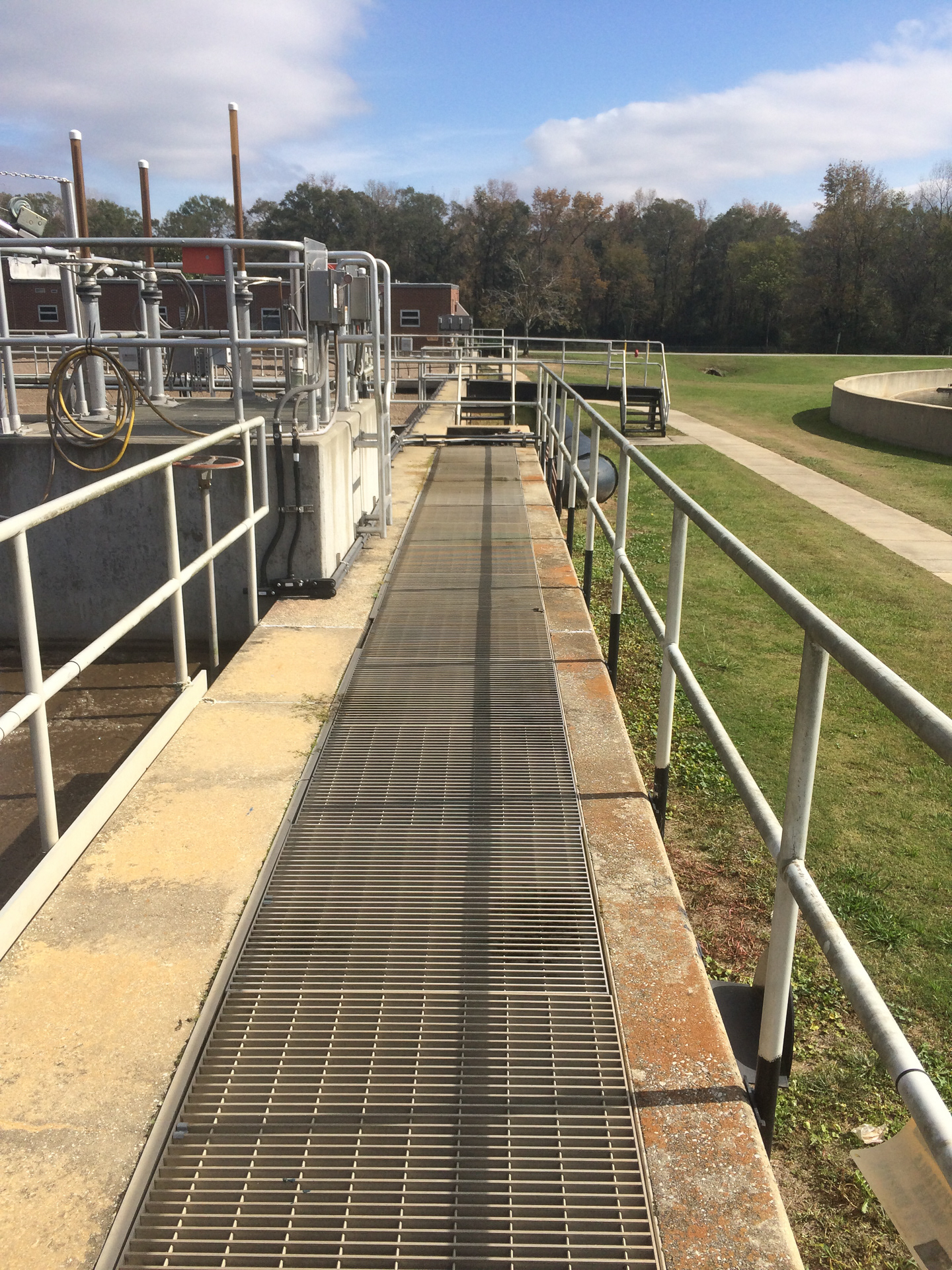
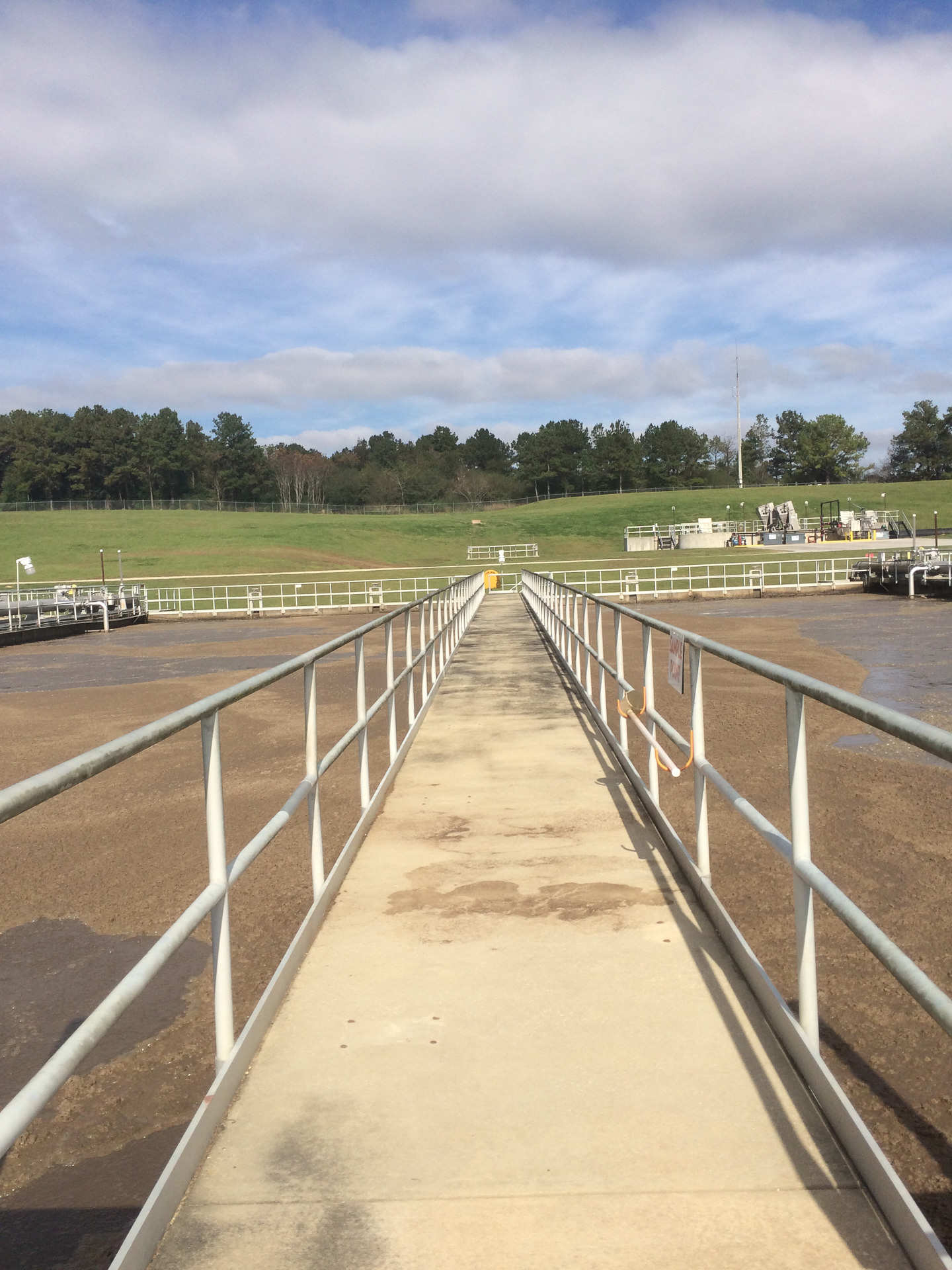
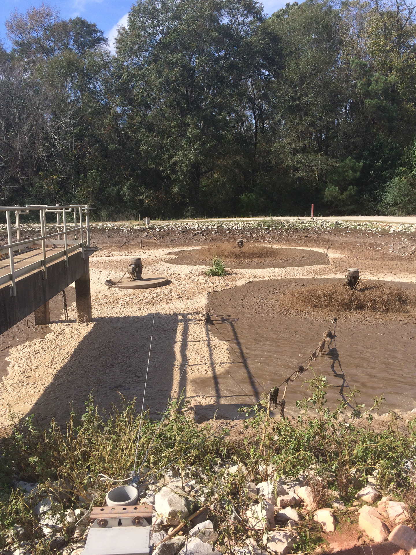
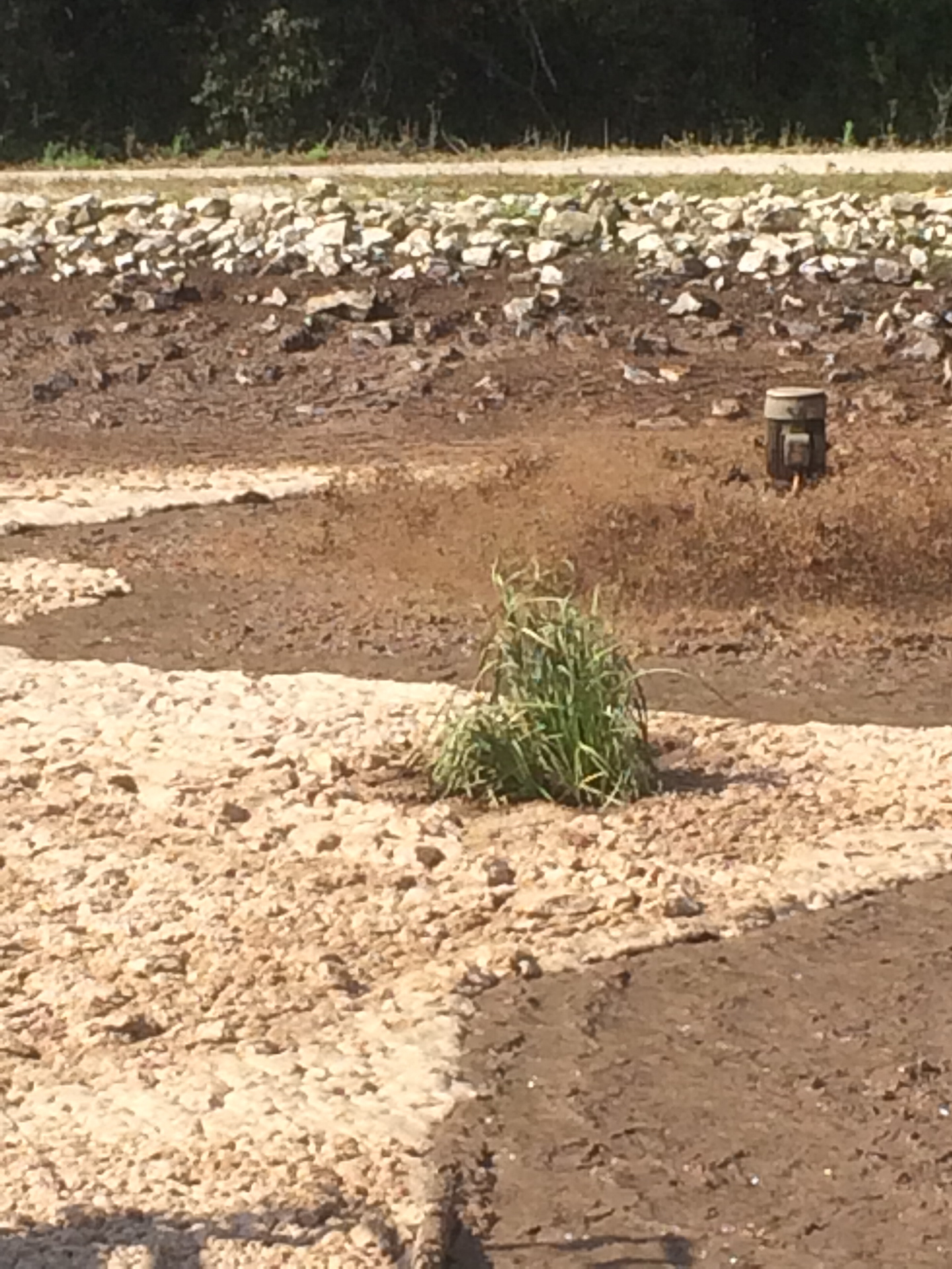
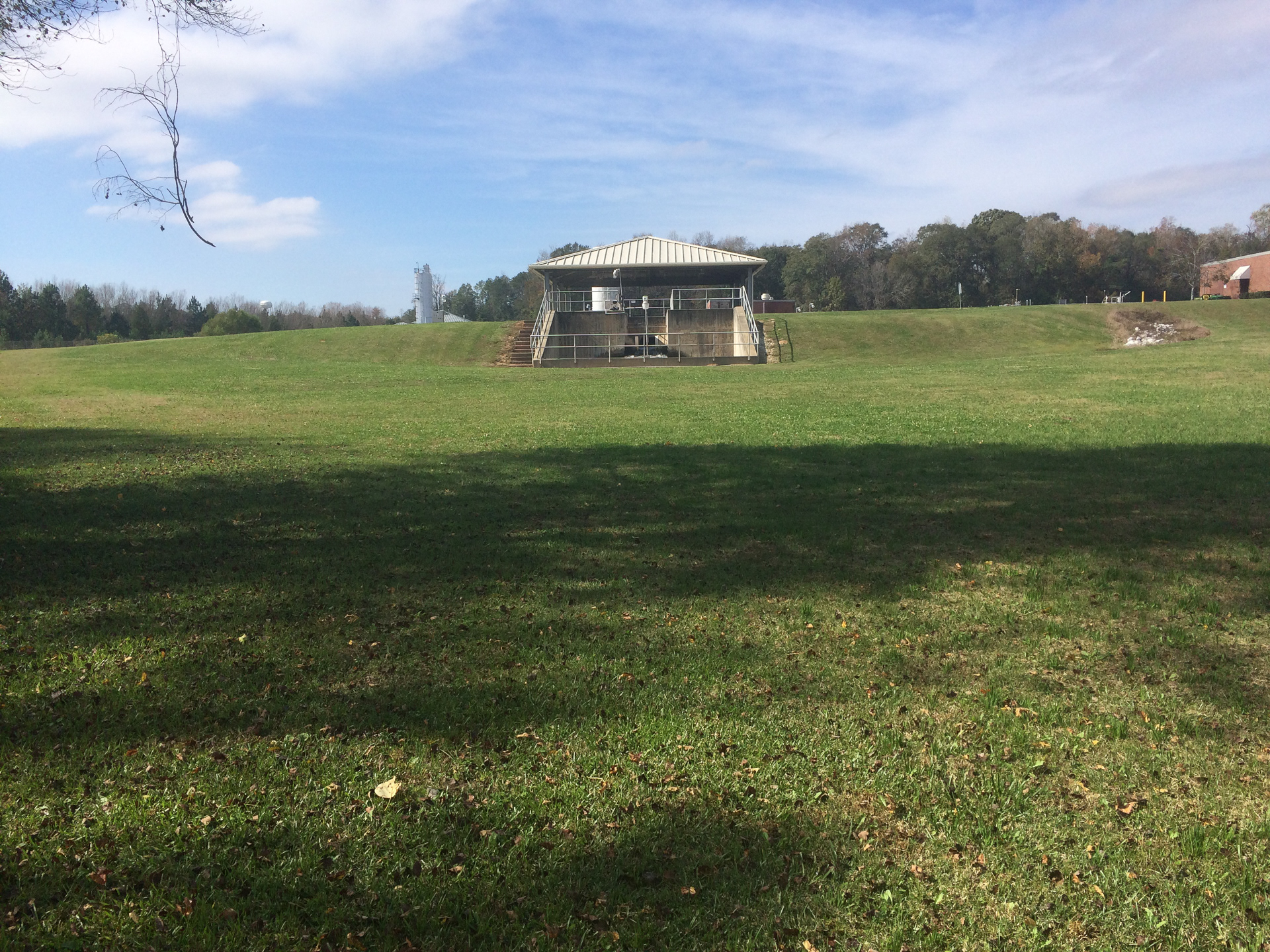
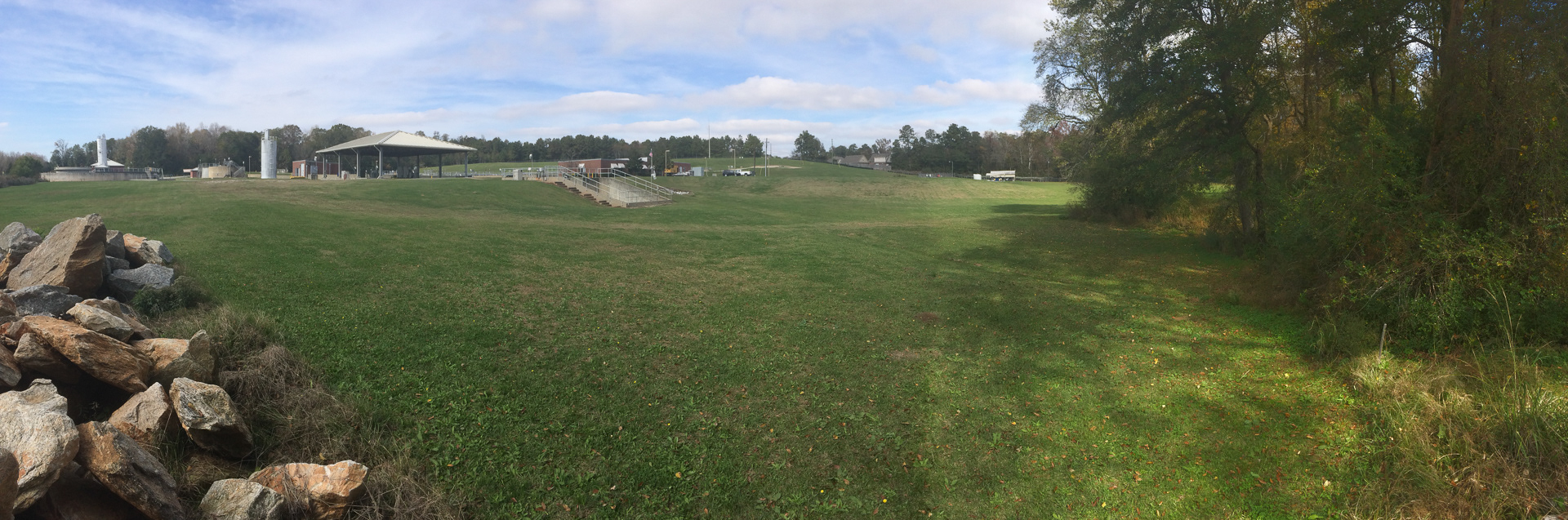
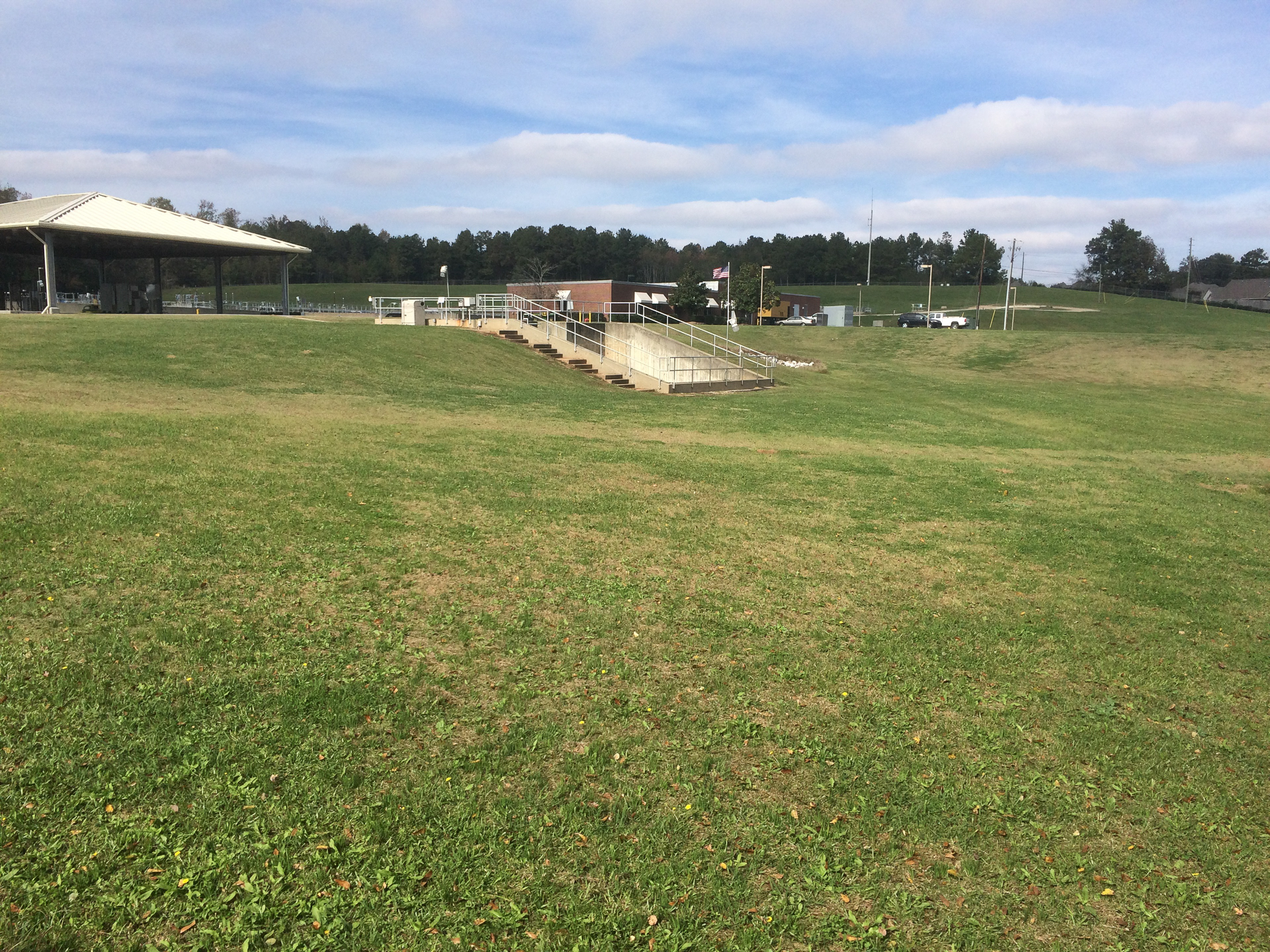
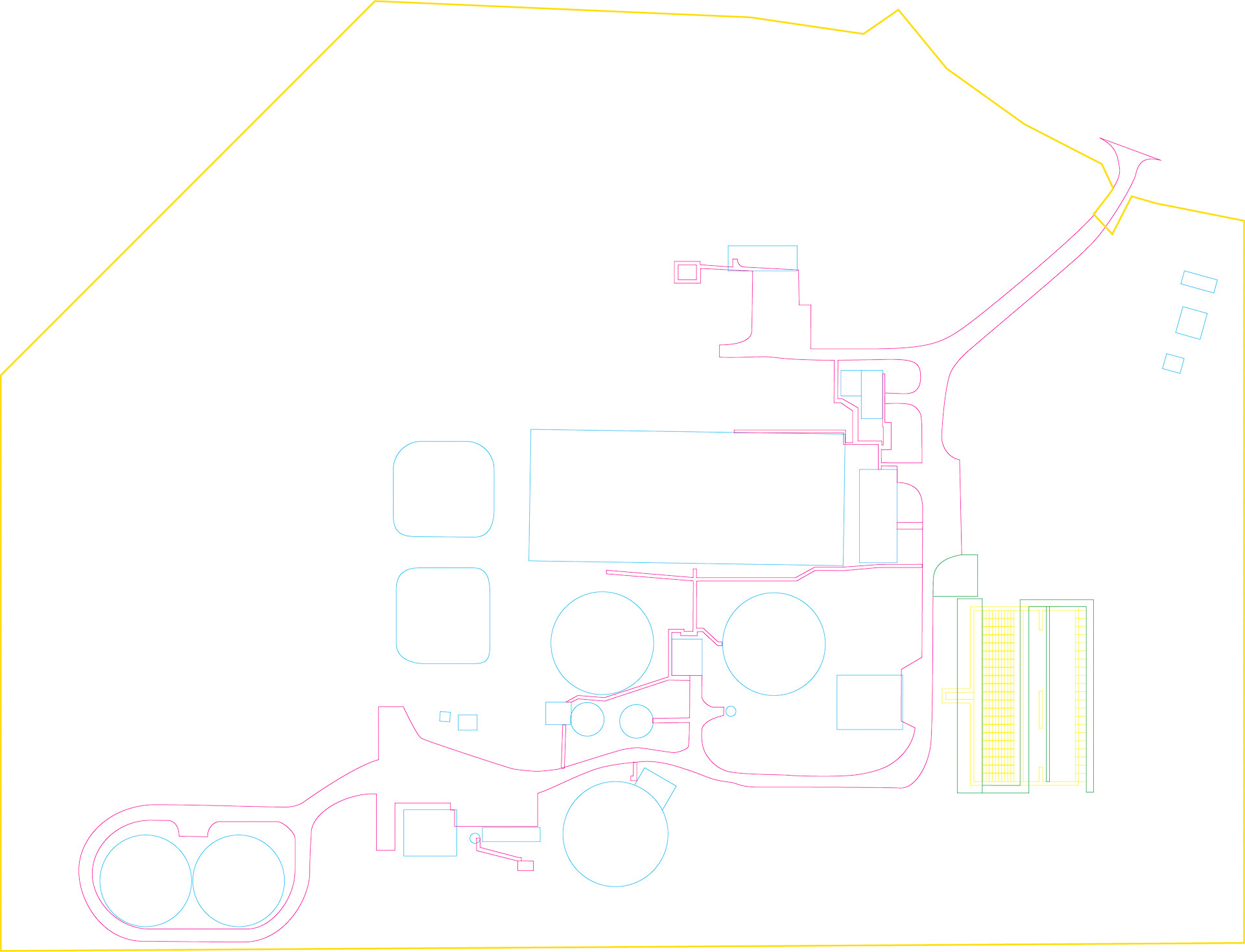
This ten week studio project explored Catherine Dee's concept of a low-intervention, anti-tabula-rasa design approach. The given site for this exploration was the HC Morgan Water Pollution Control Facility (WPCF) in Auburn Alabama (google maps link). This facility processes the entire municipal sewage of City of Auburn into effluent which is discharged to the Parkerson Mill Creek. Instead of competing or erasing the terrain dynamics found on the projecct site, the assignment goal was to guide the trajectory of form and process as an act of design.
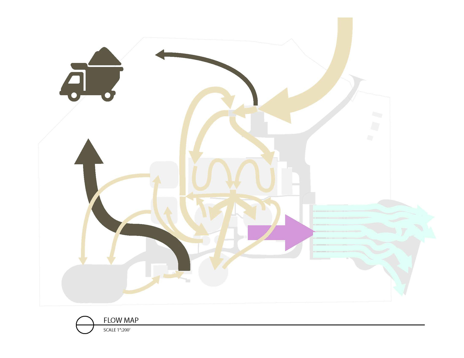
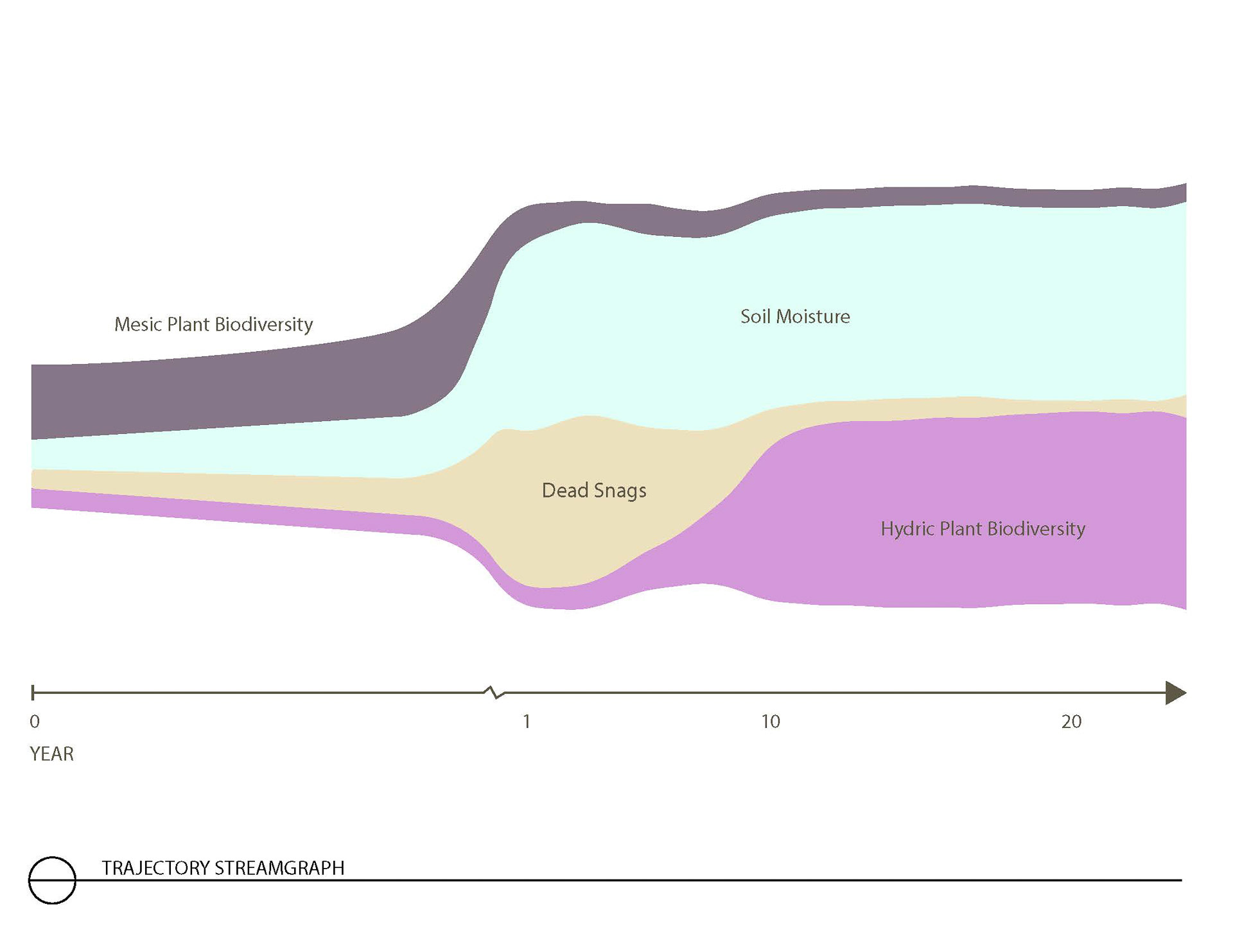
The goals for my design were to work with both the unique attributes of the waste water treatment plant (WWTP) and the trajectory of water in the landscape. My first project in this studio, Terrain Intelligence, analyzed stormwater conveyence in urban streams and the associated ecological infrastructure relating to the transport of water, so I already had a framework to analyze the movement of water at the WWTP.
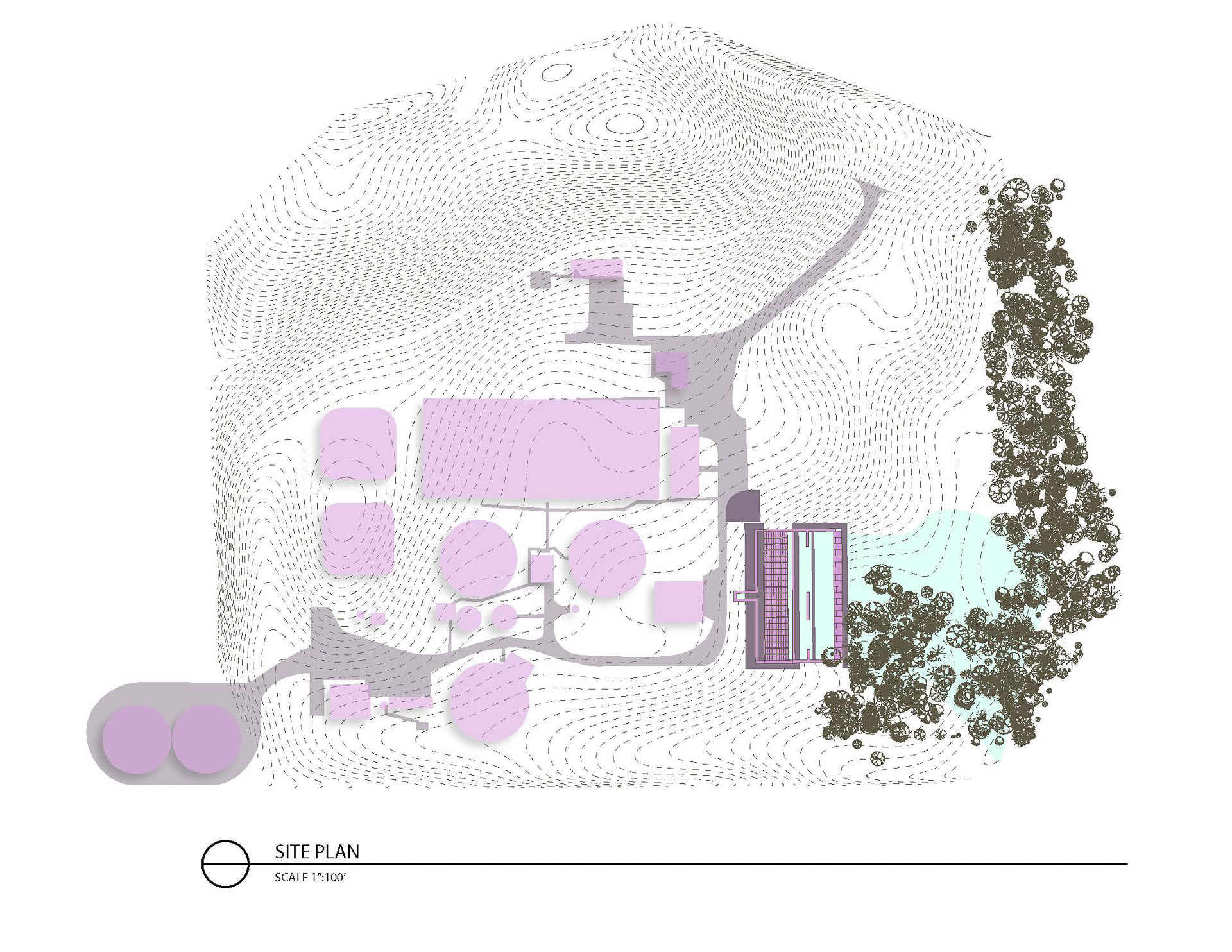
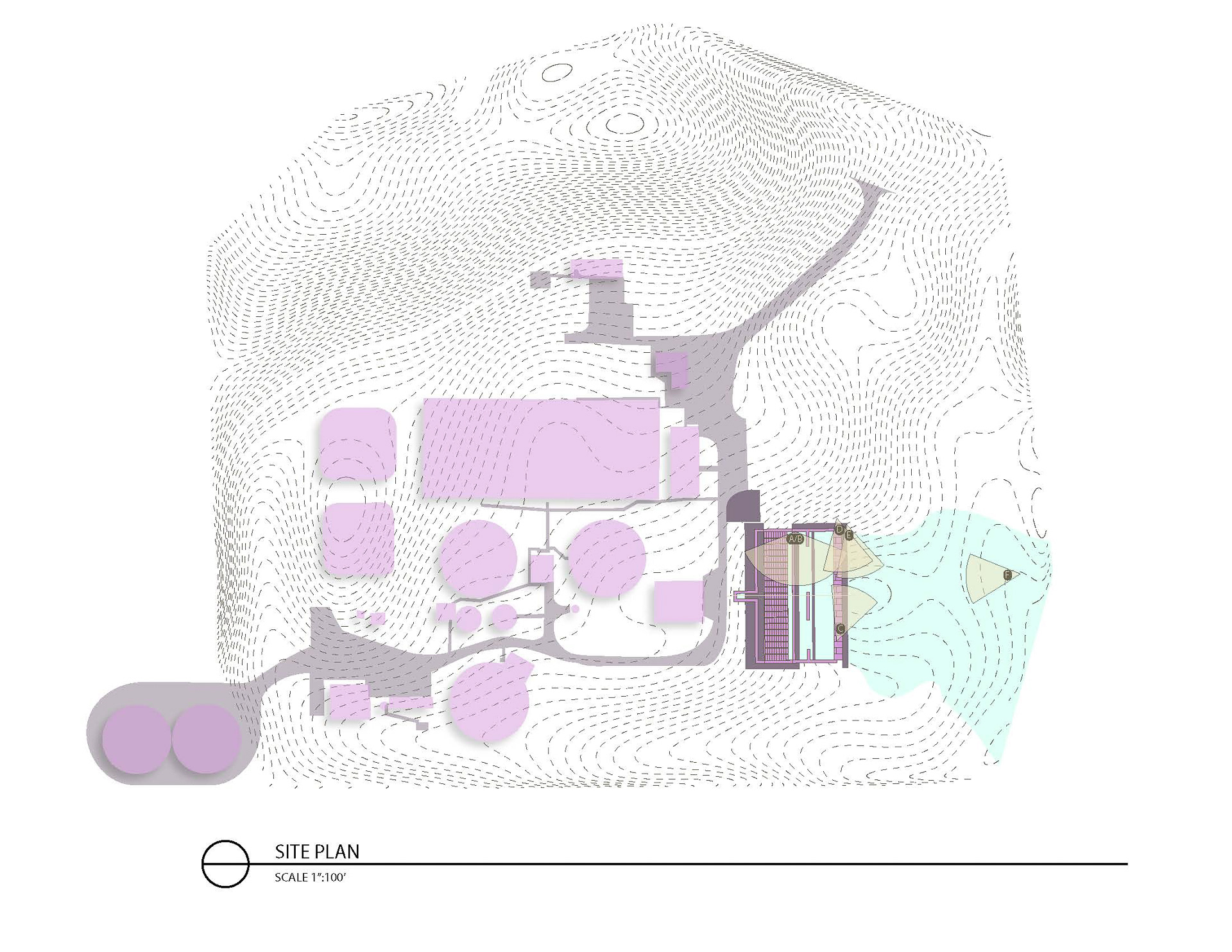
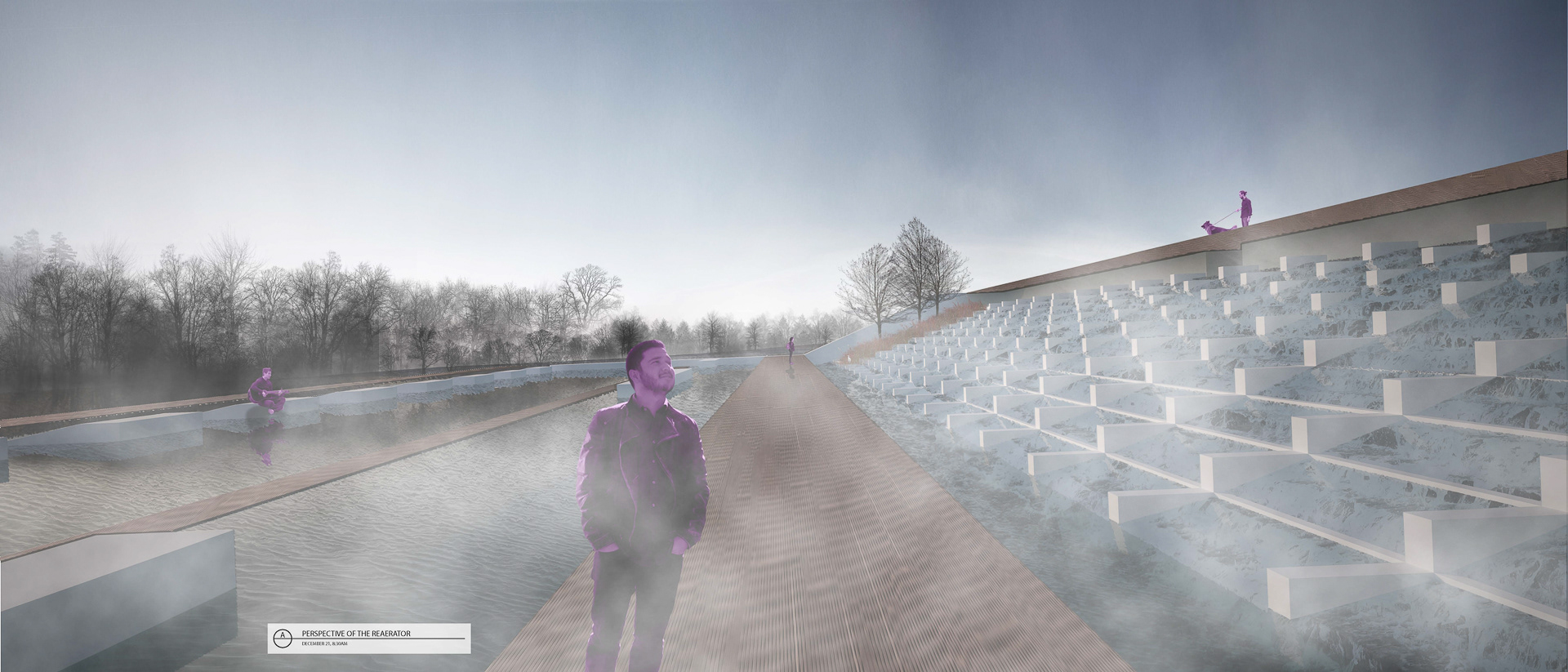
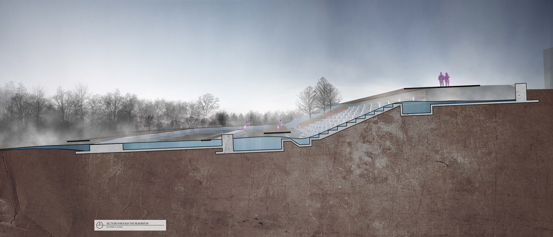
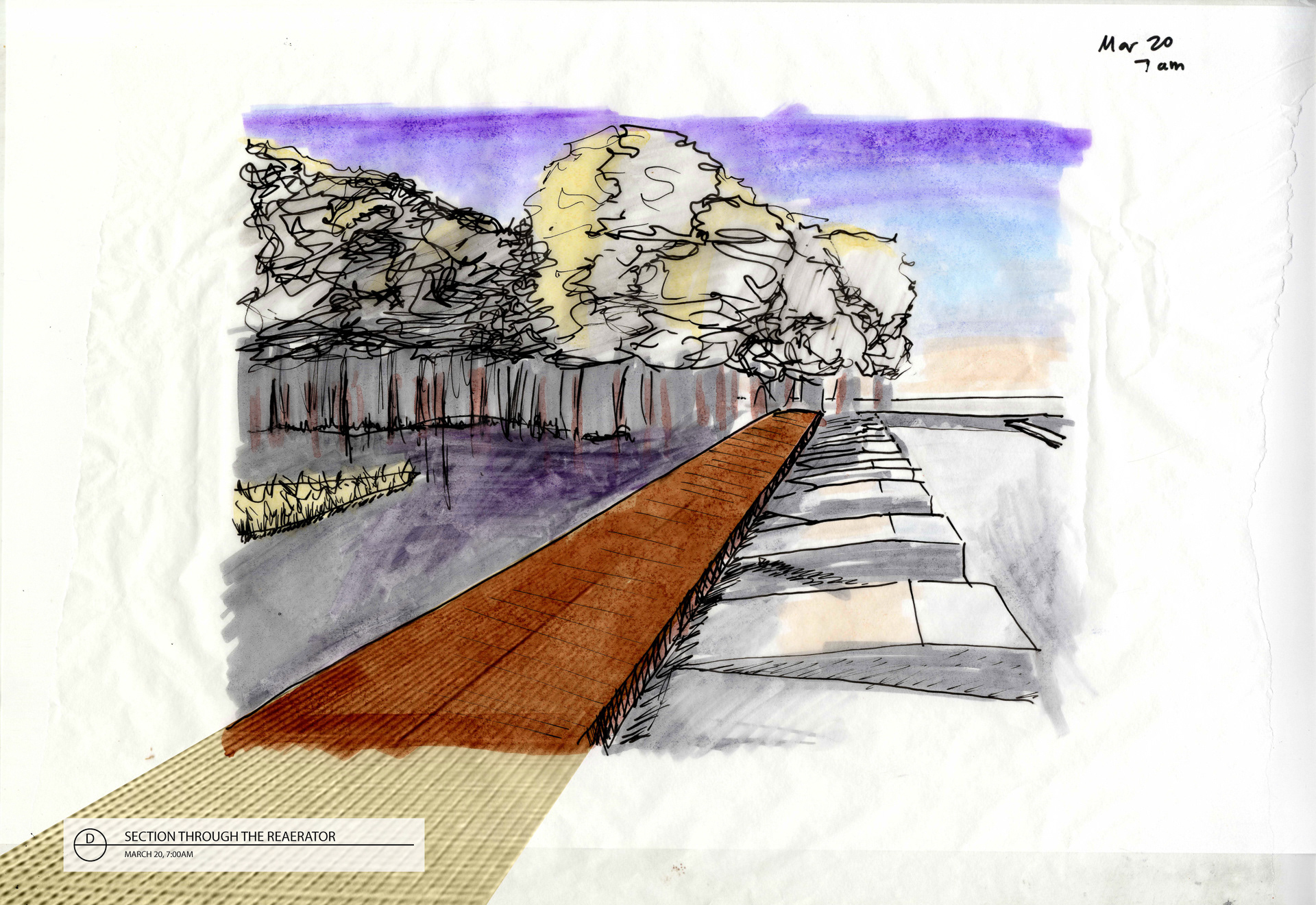
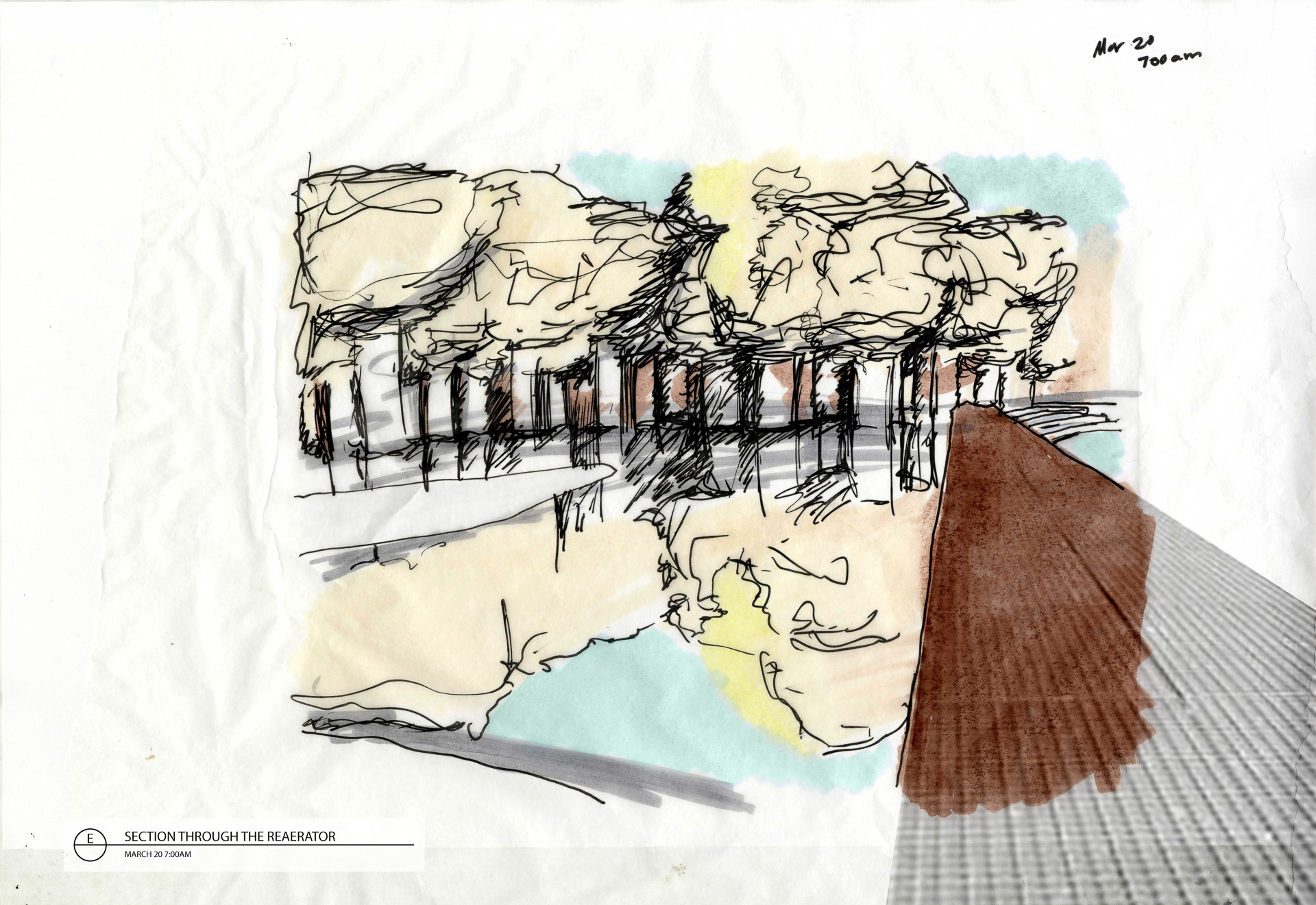
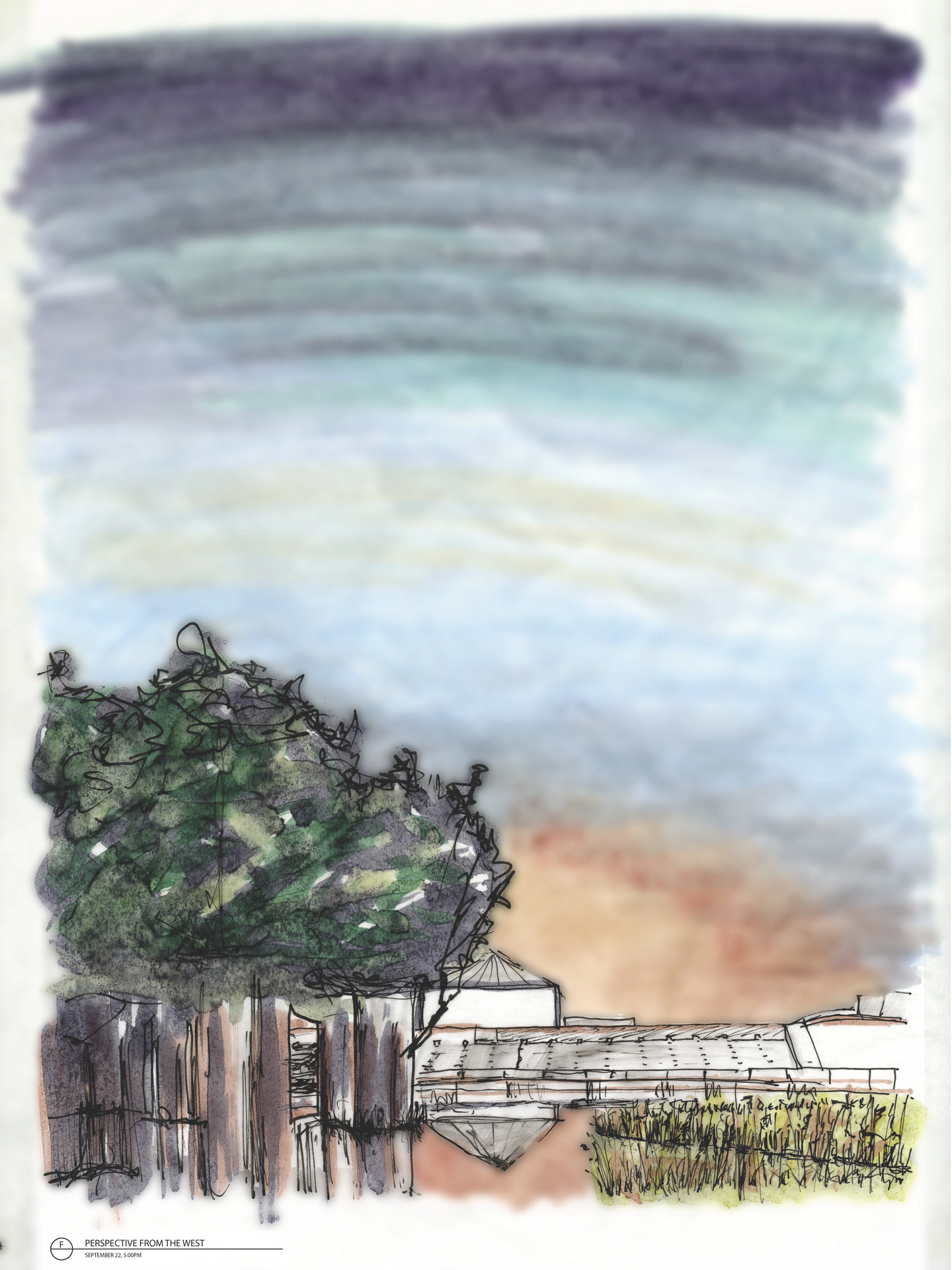
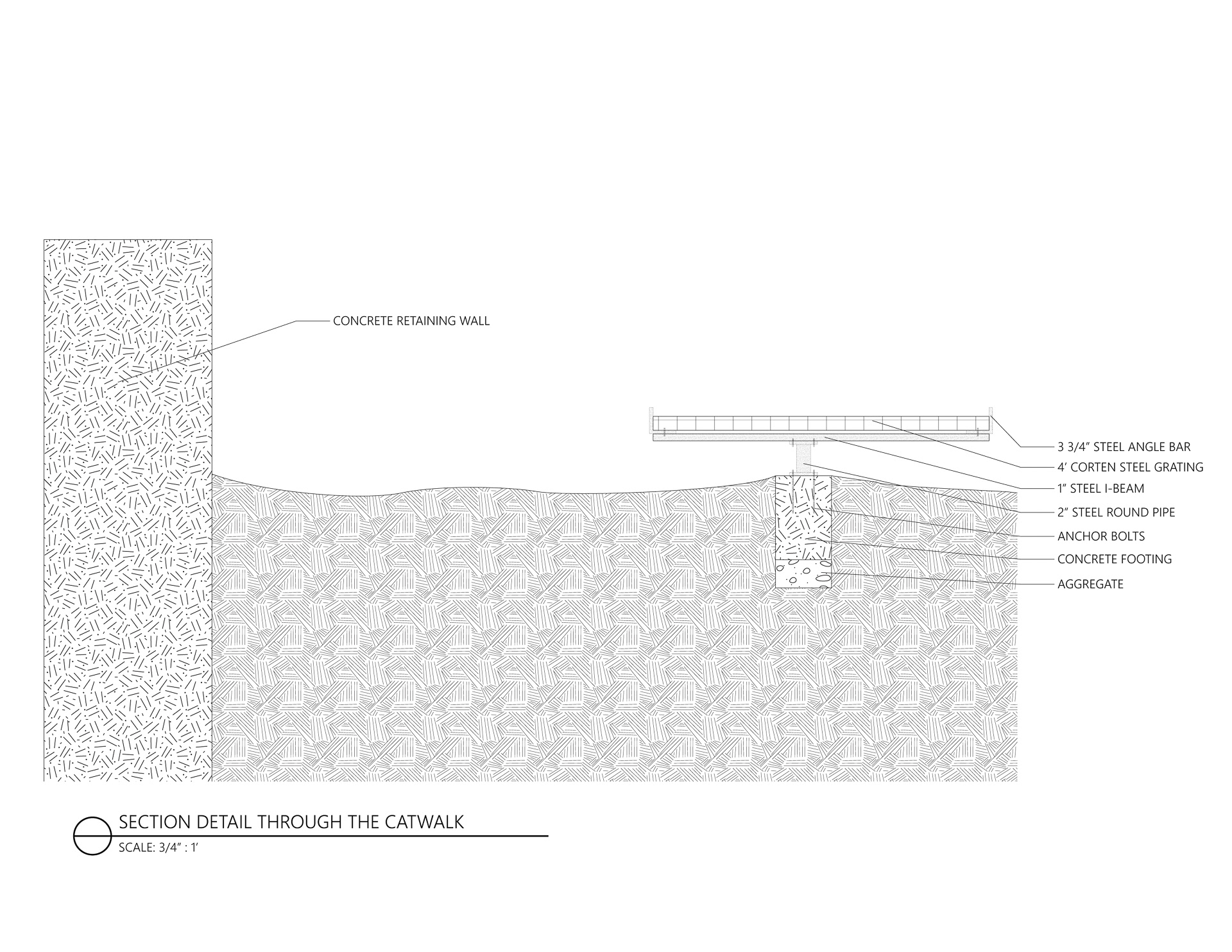
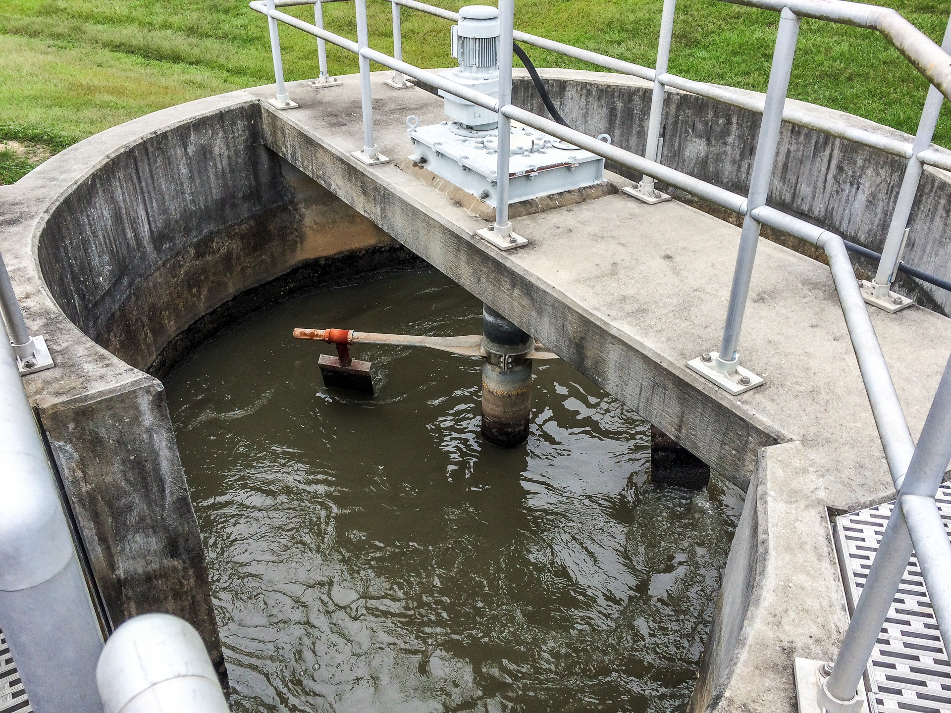
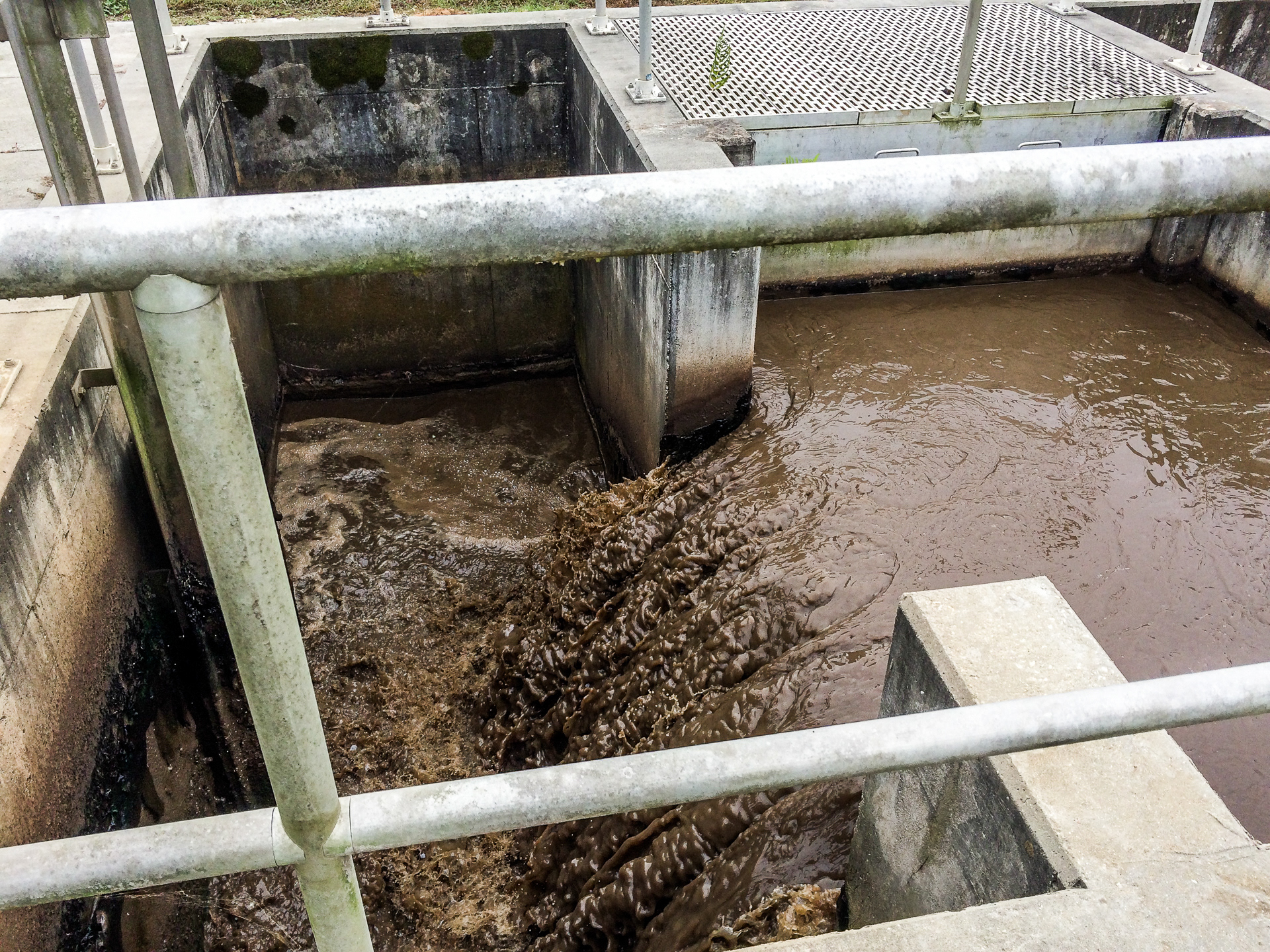
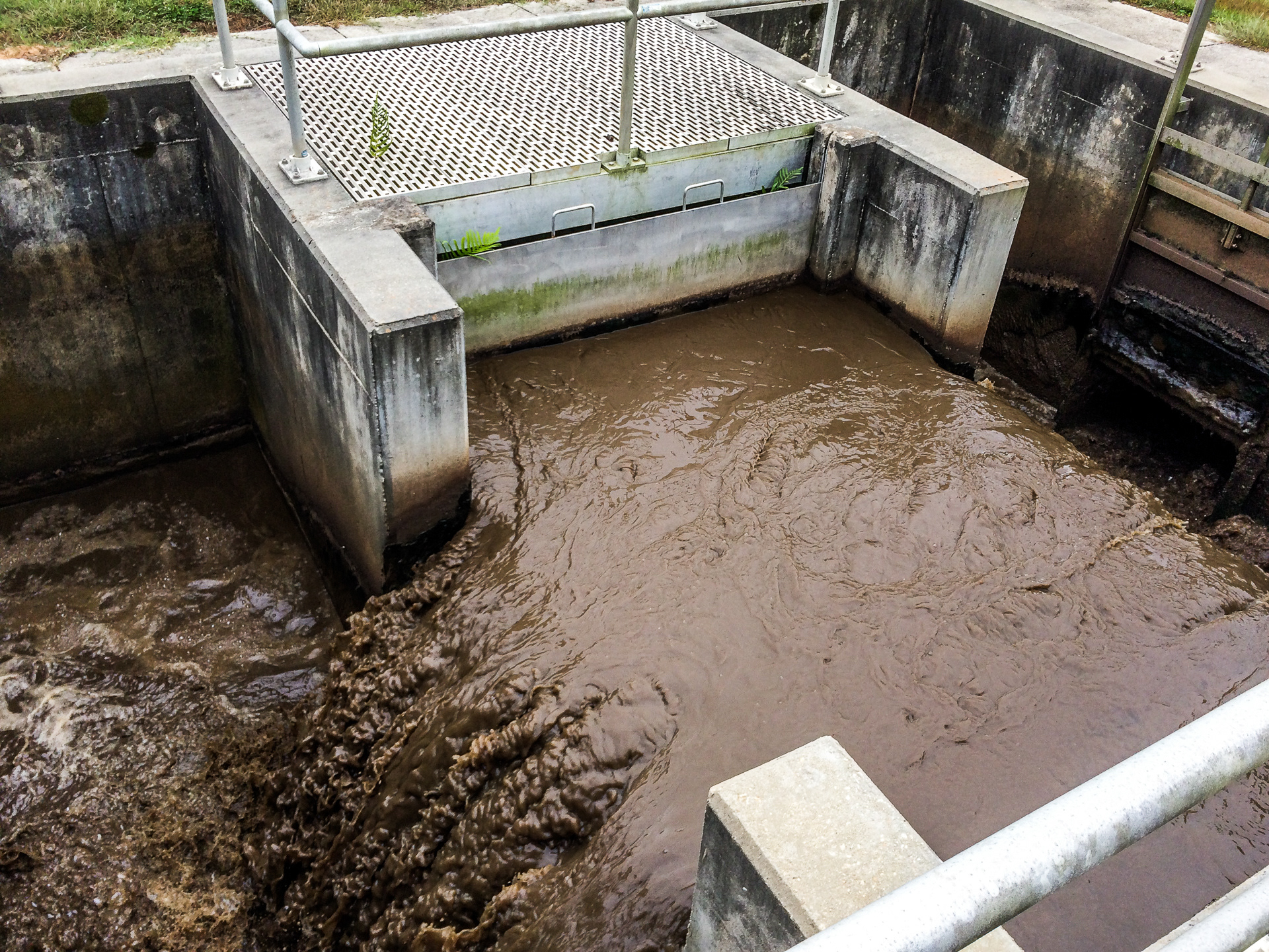
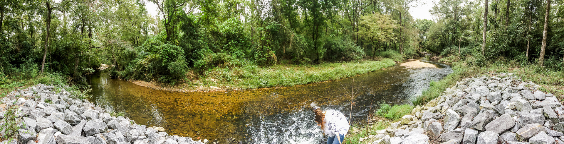
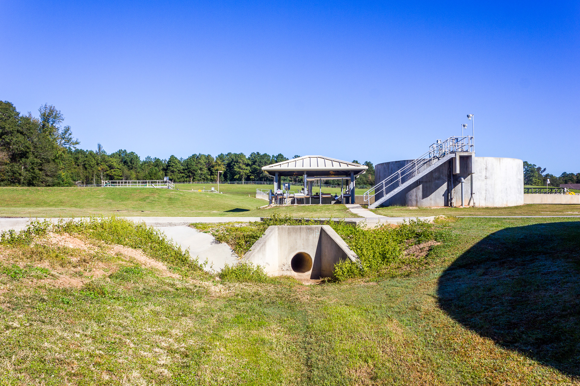
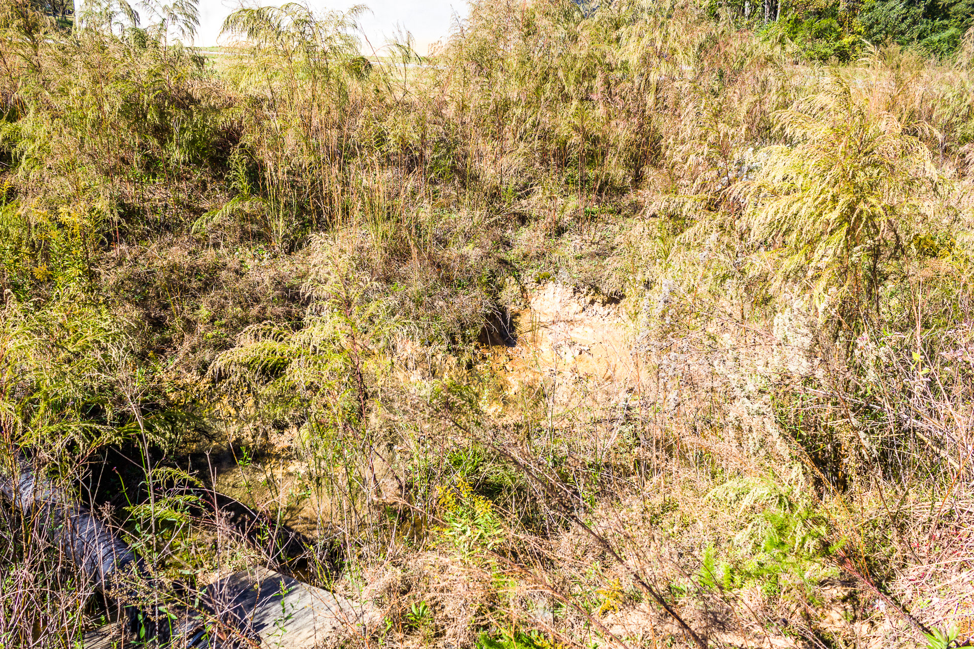
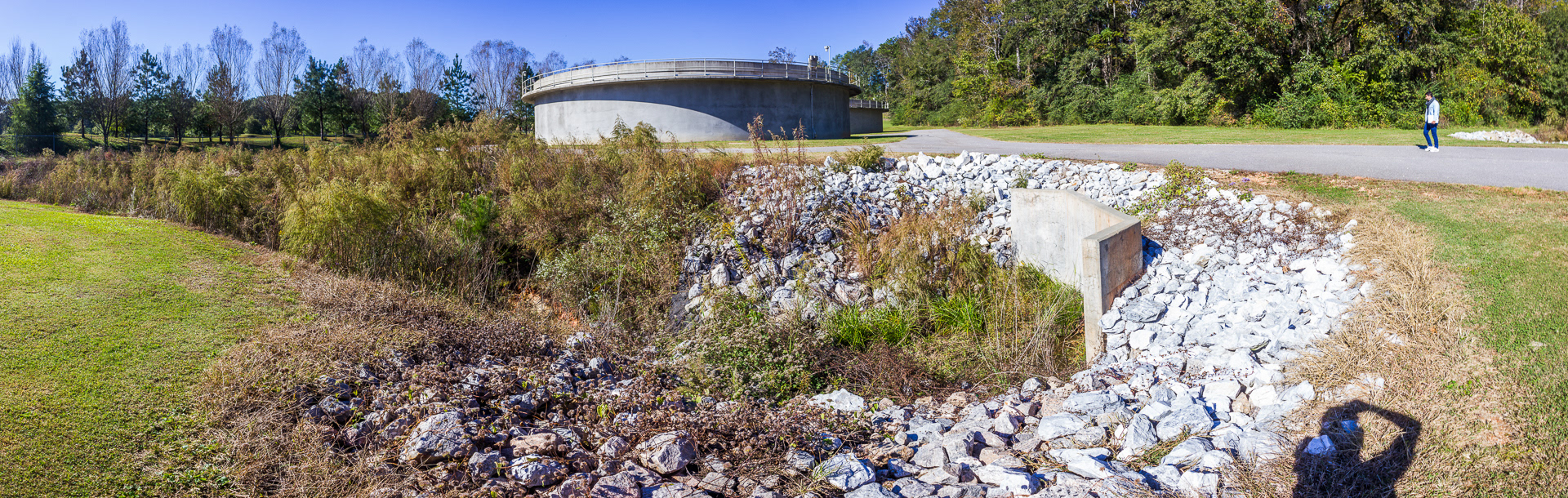
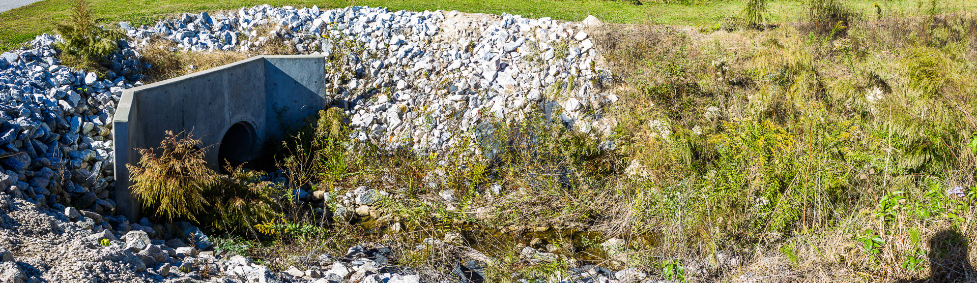
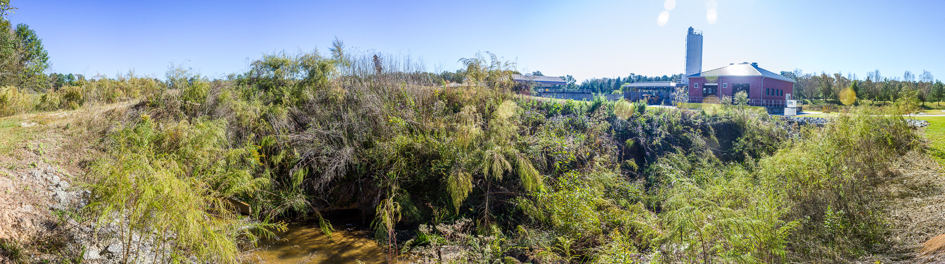
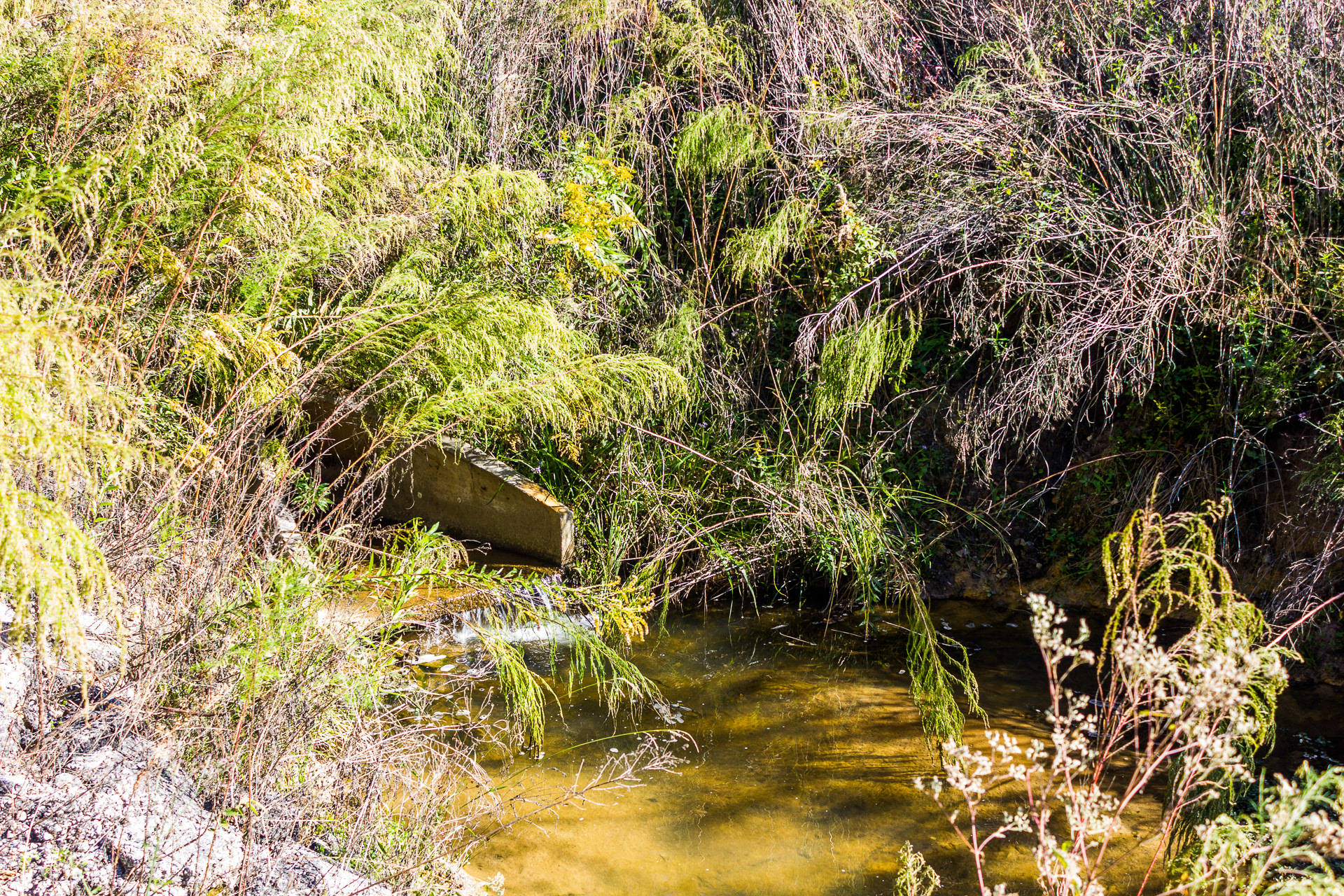
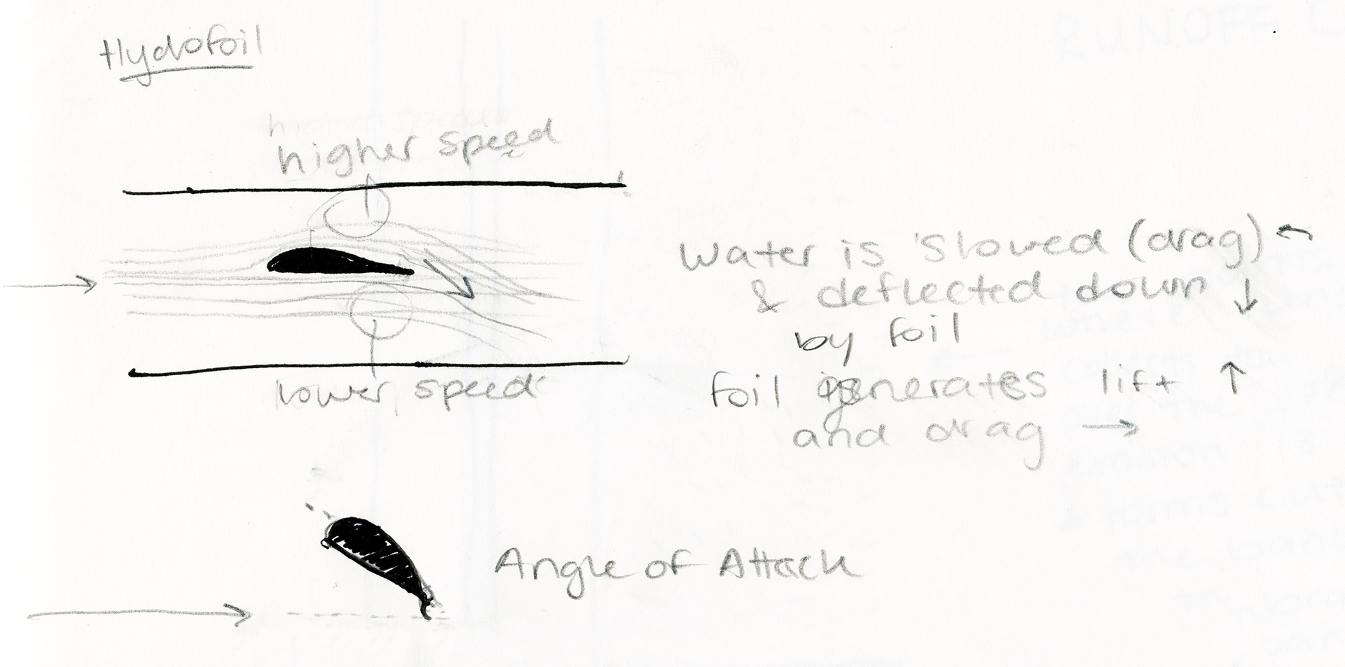
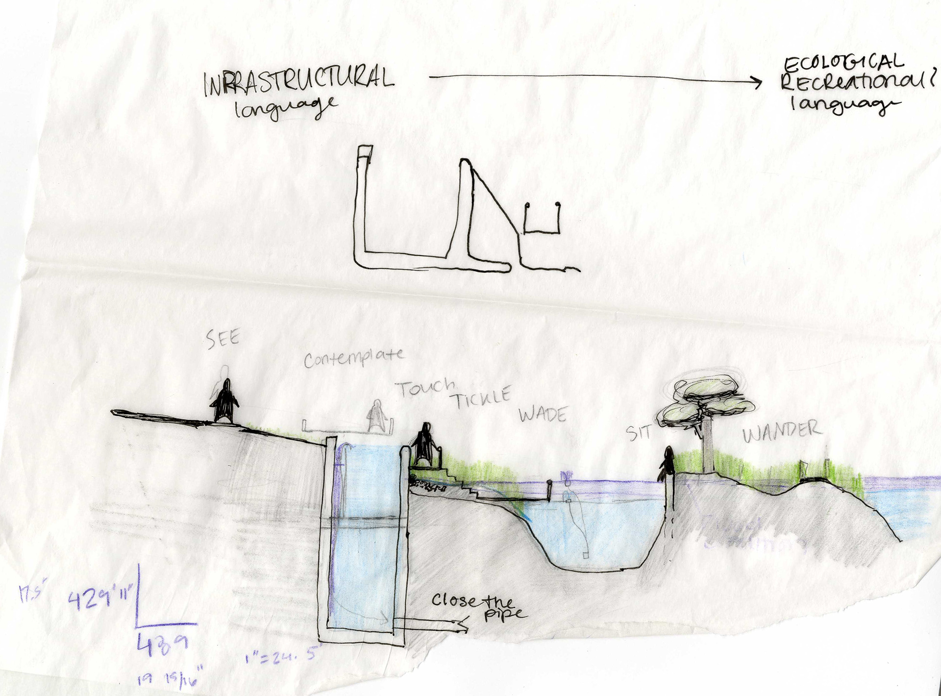
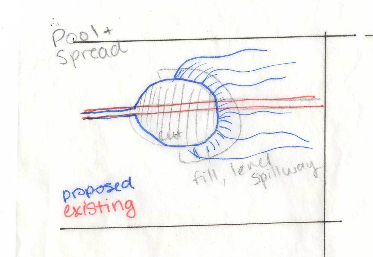
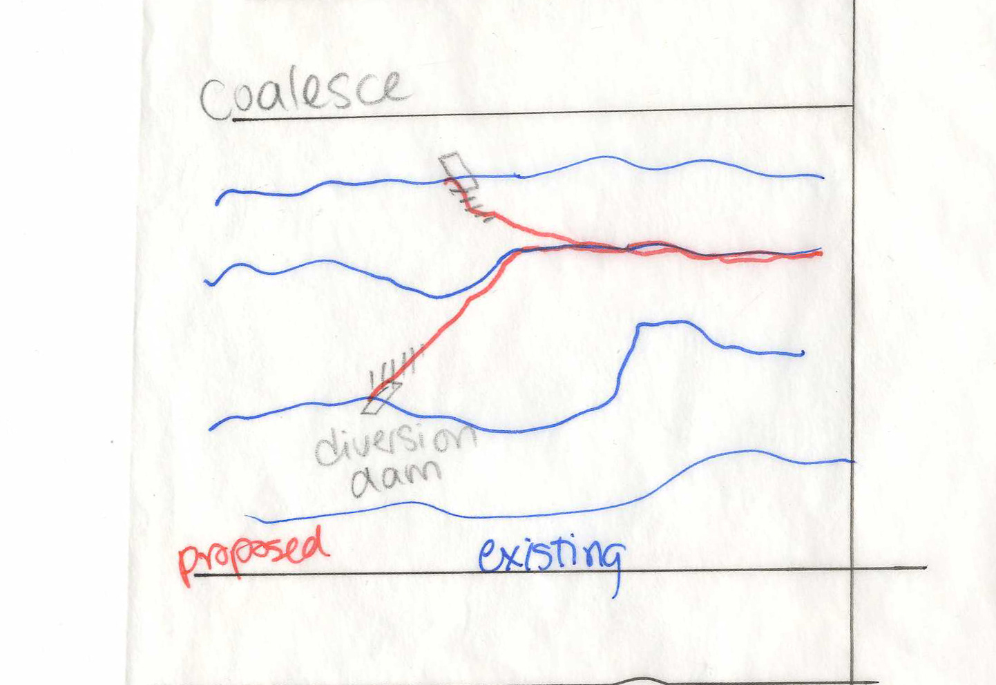
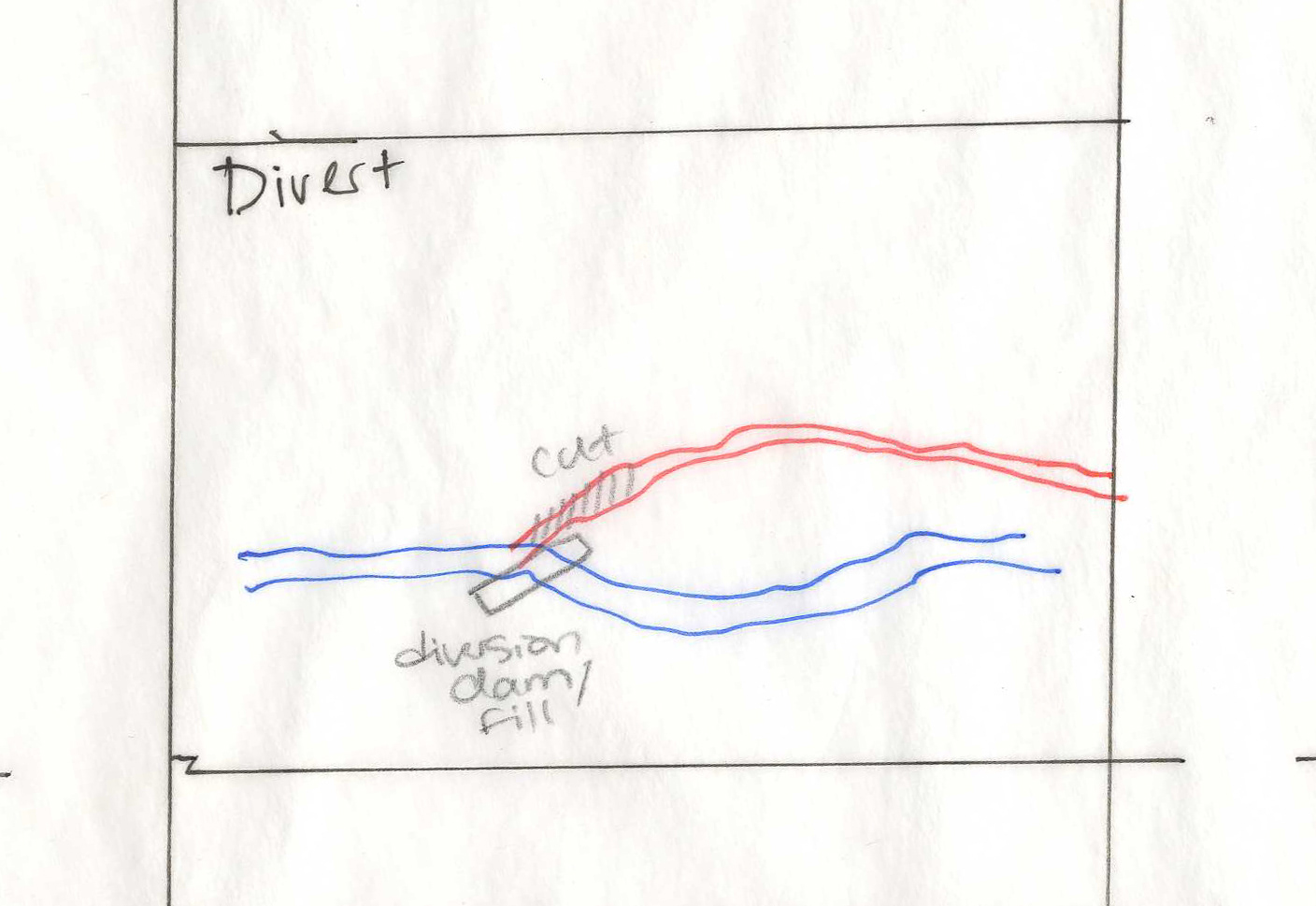
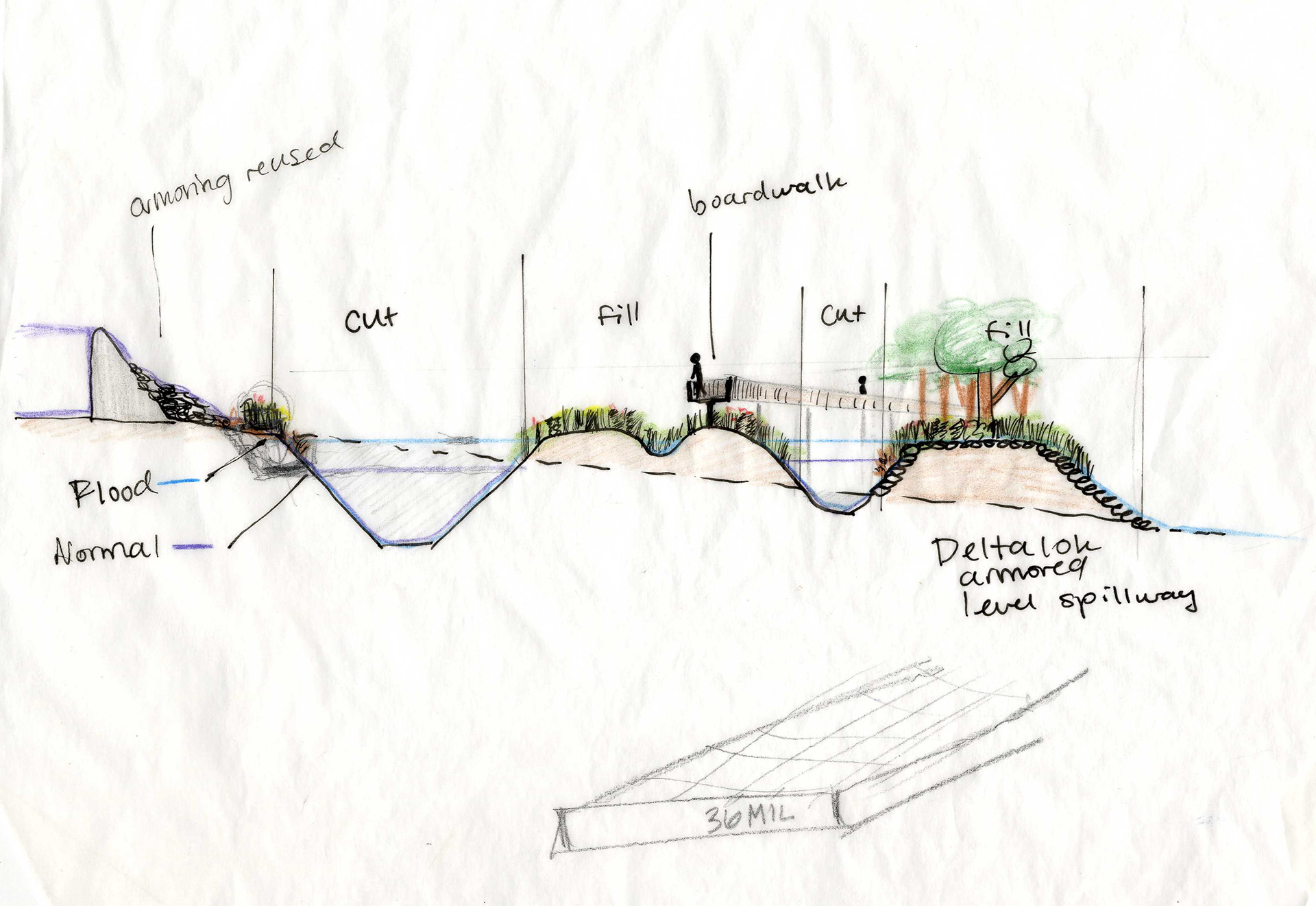
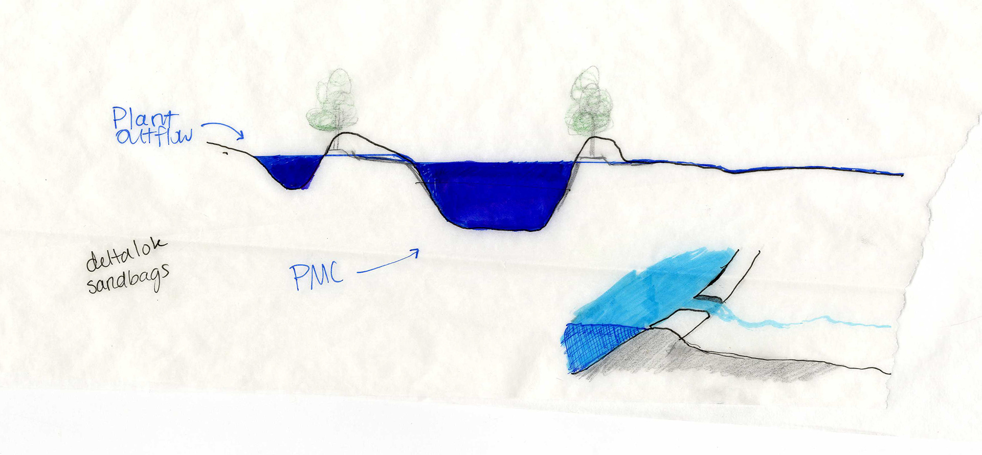
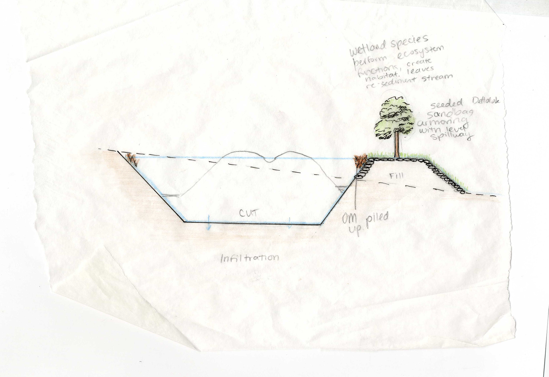
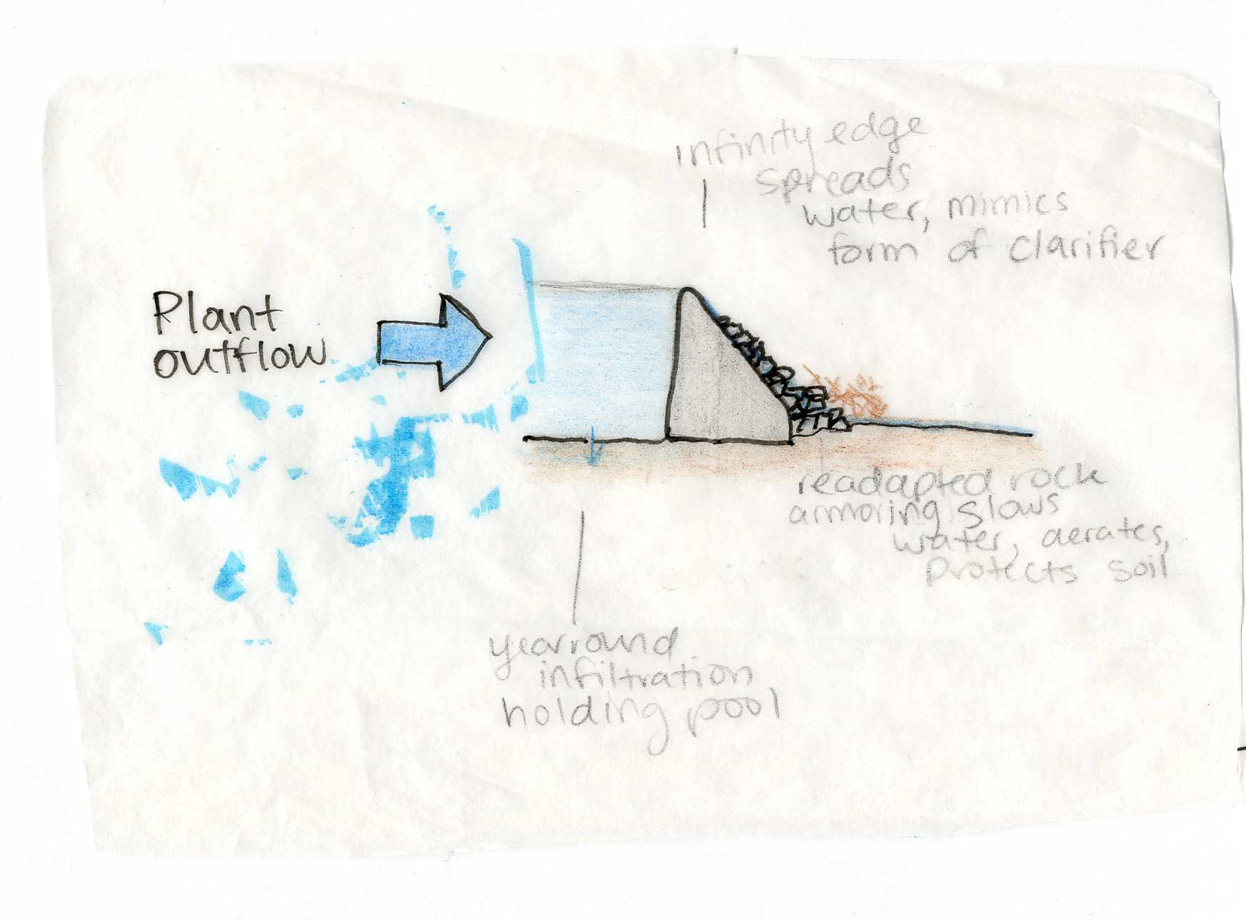
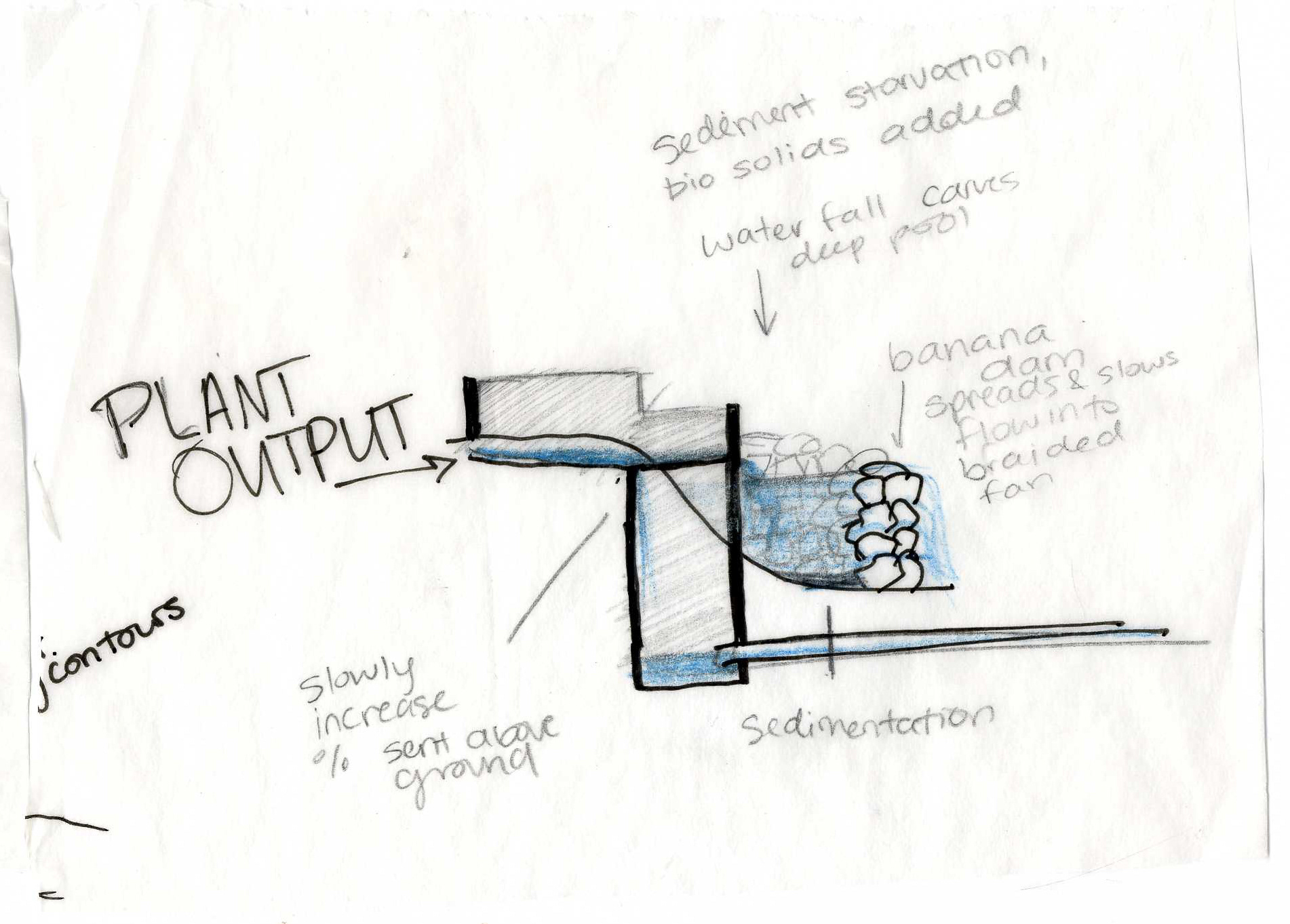
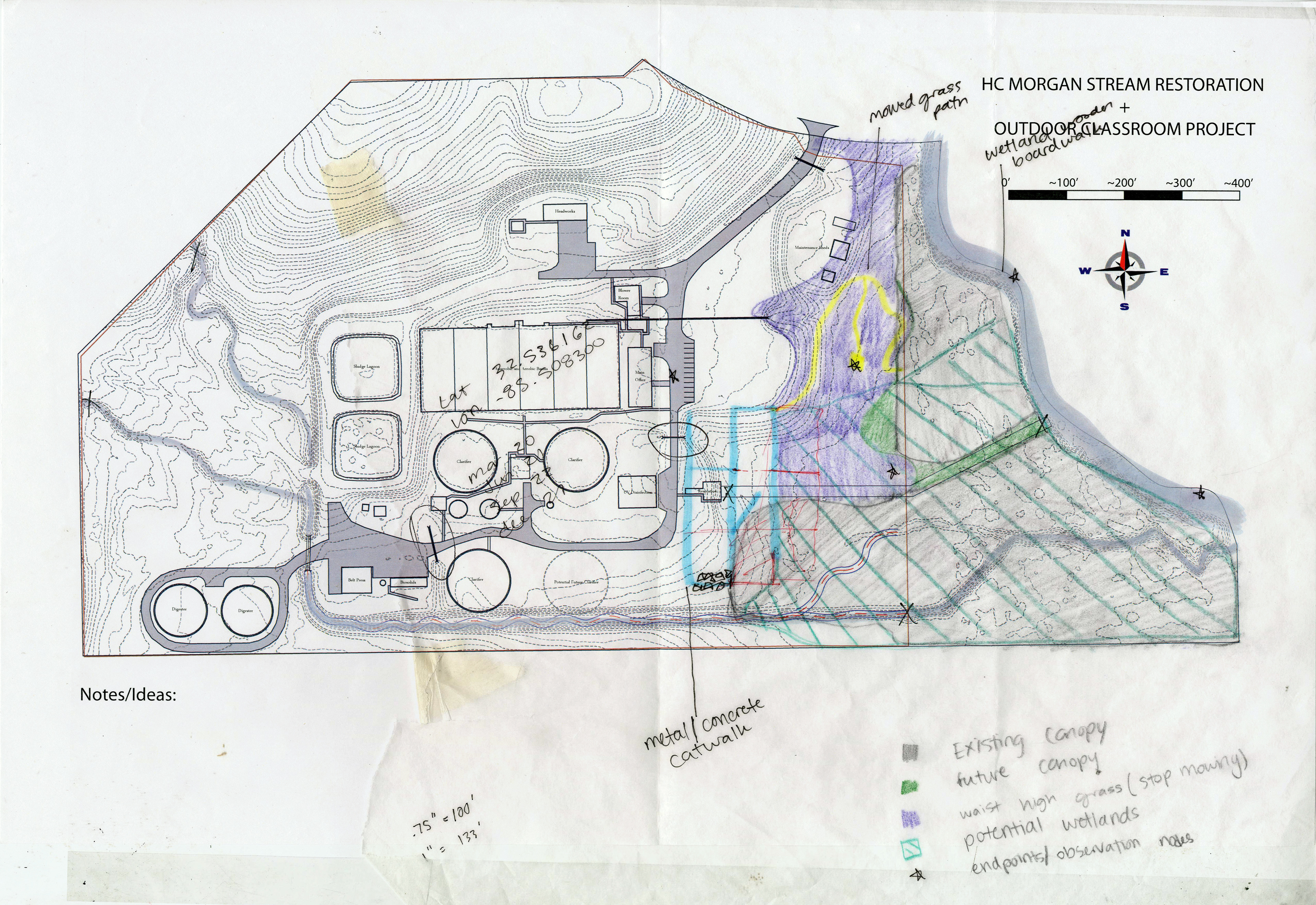
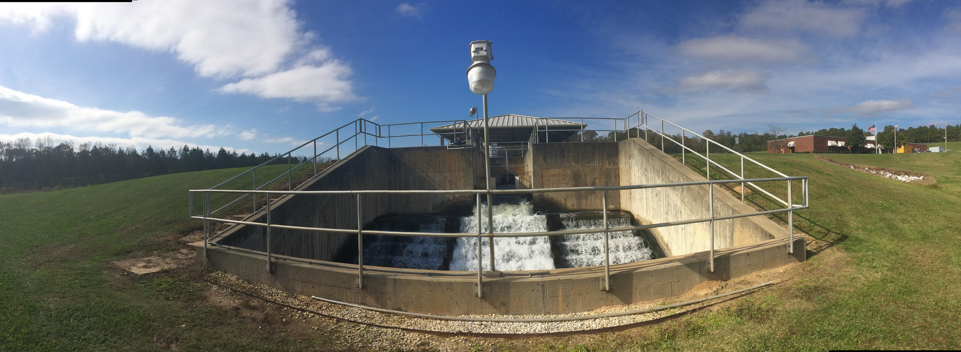
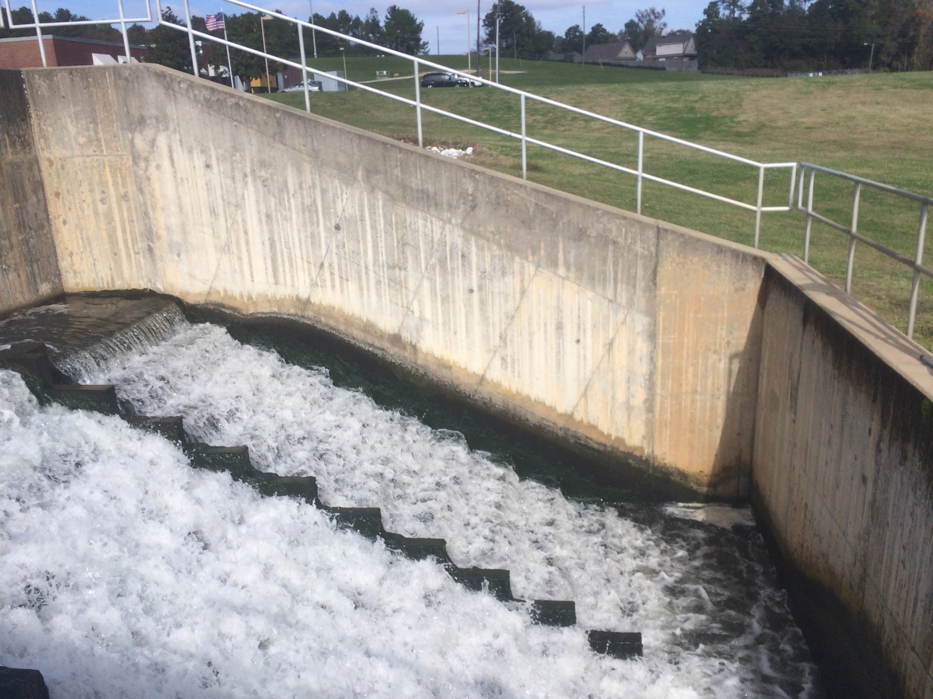
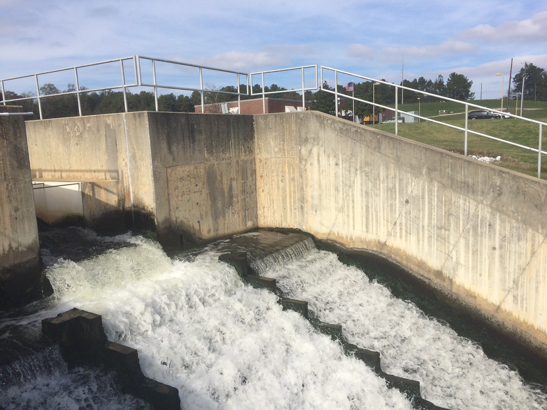
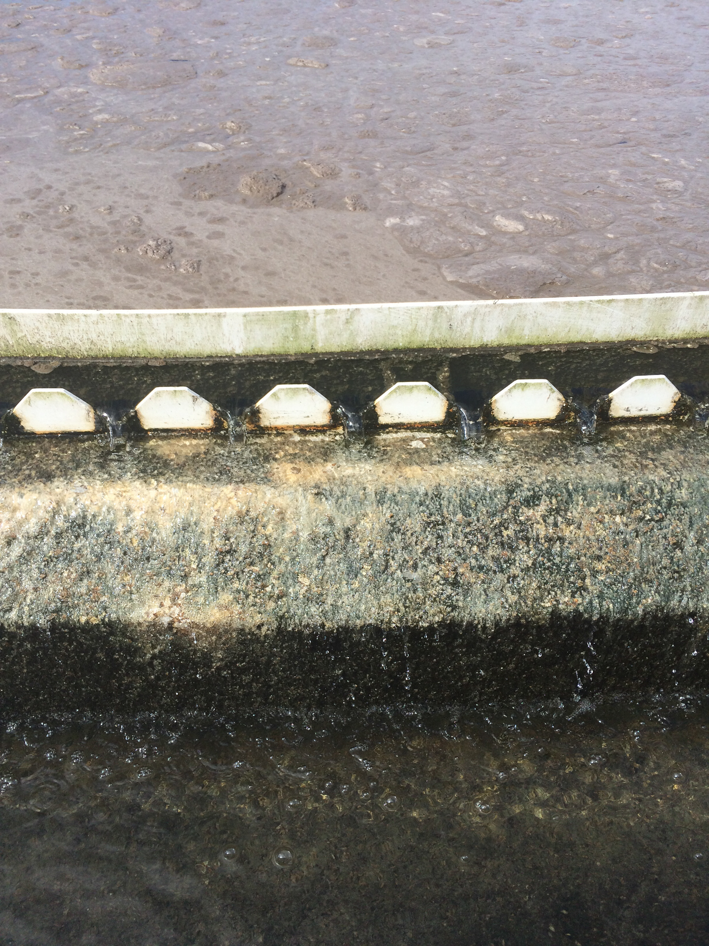
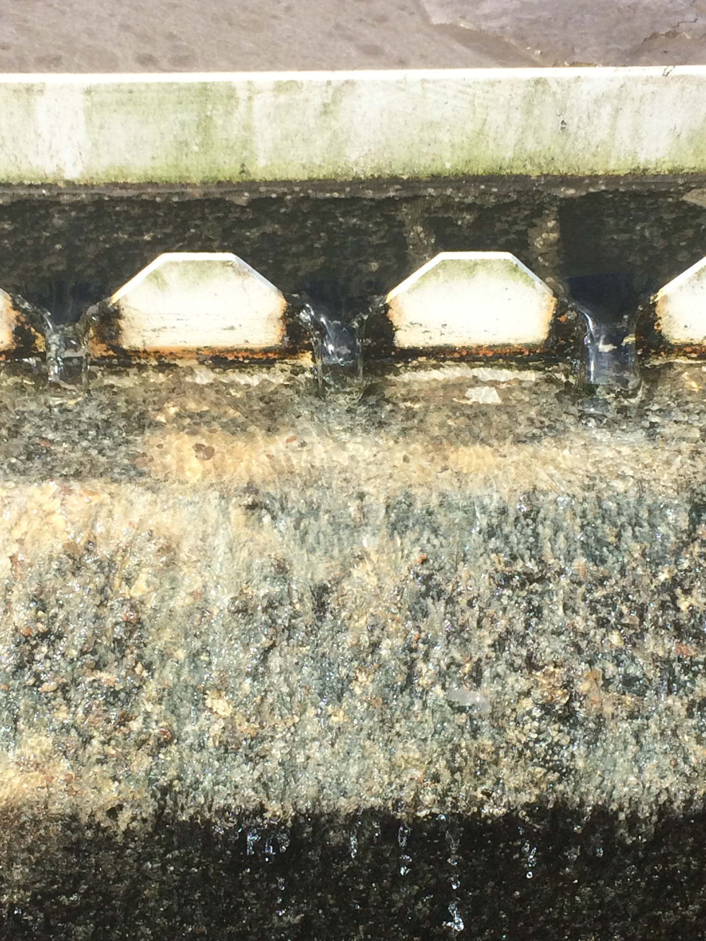
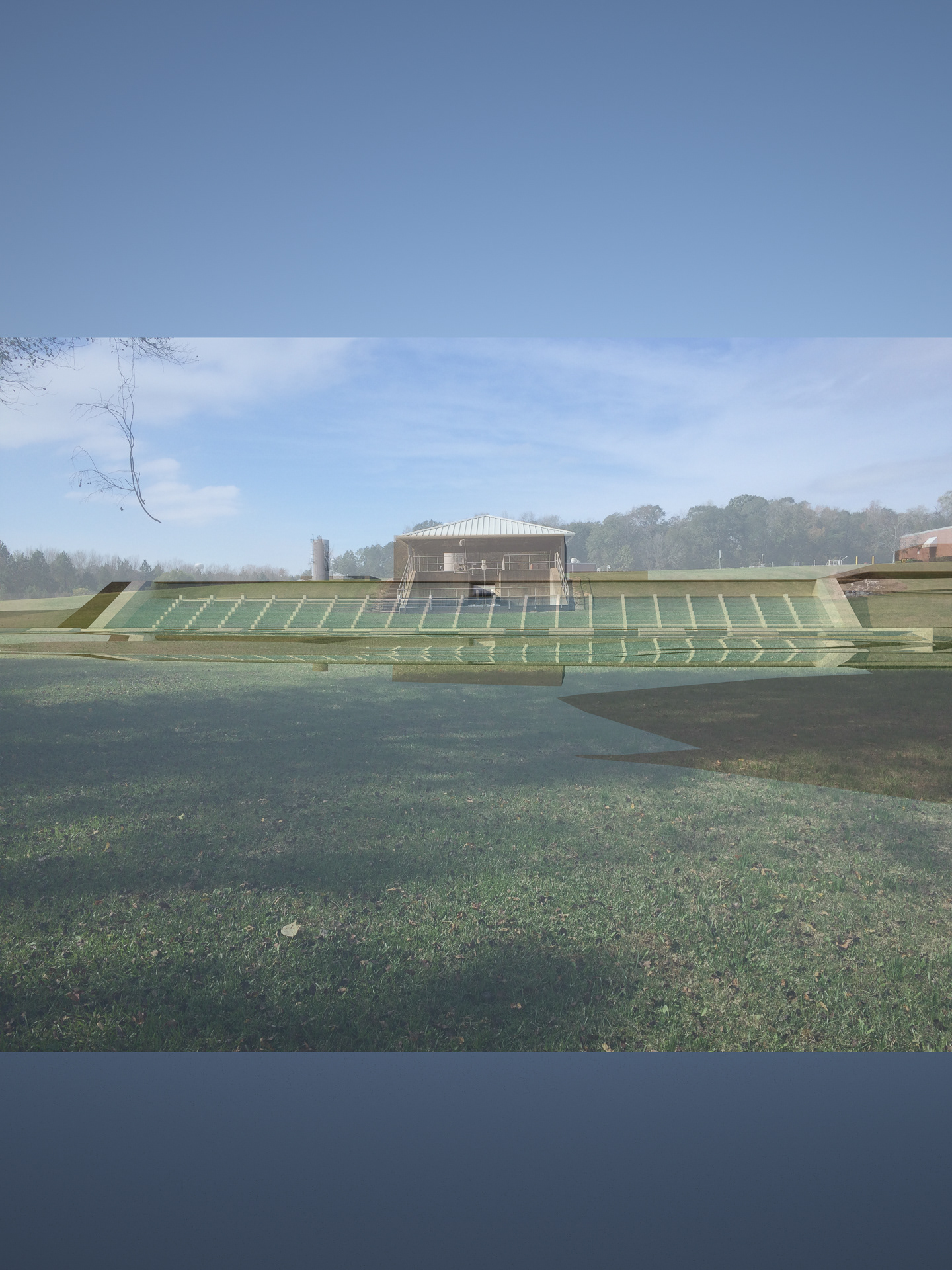
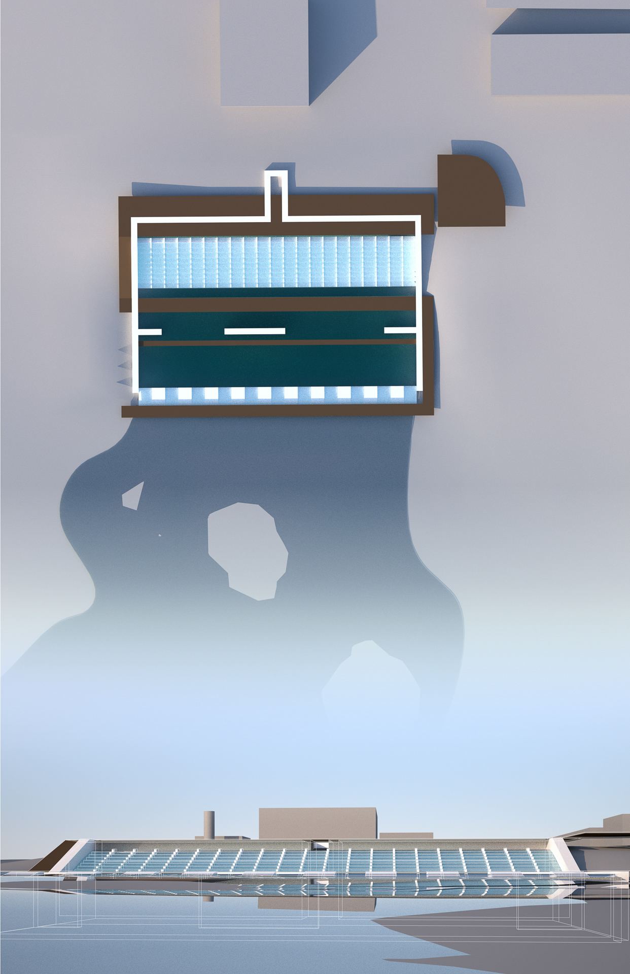
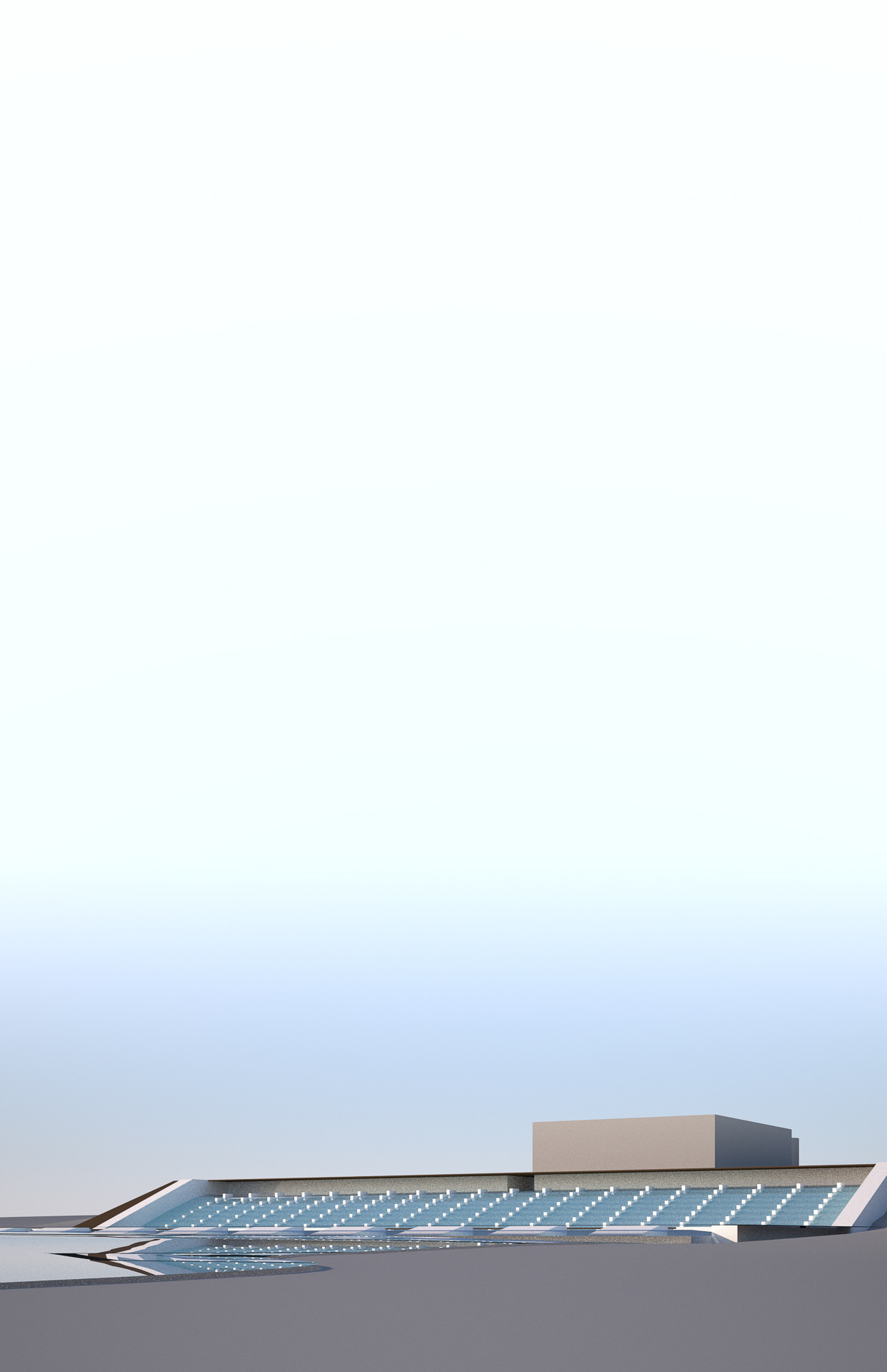
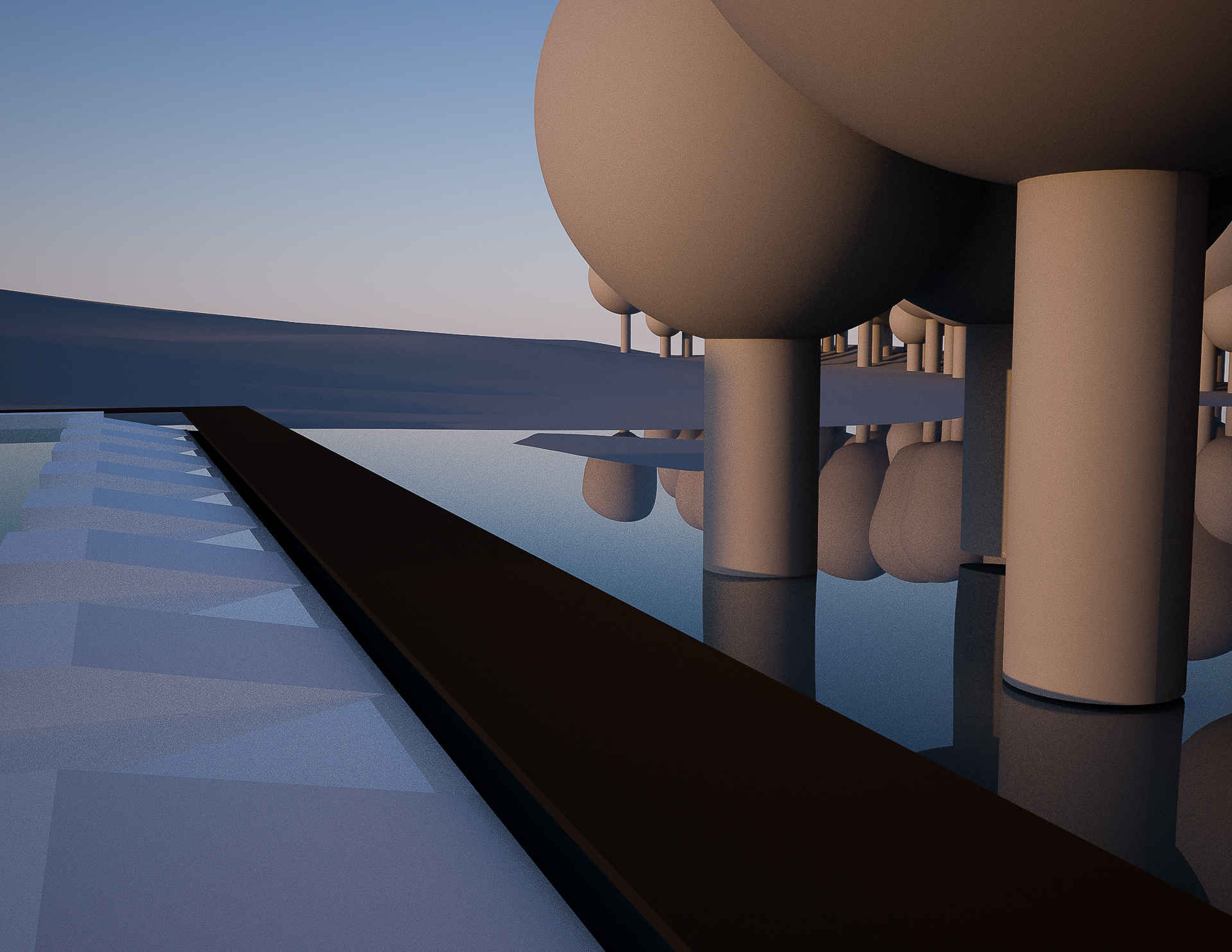
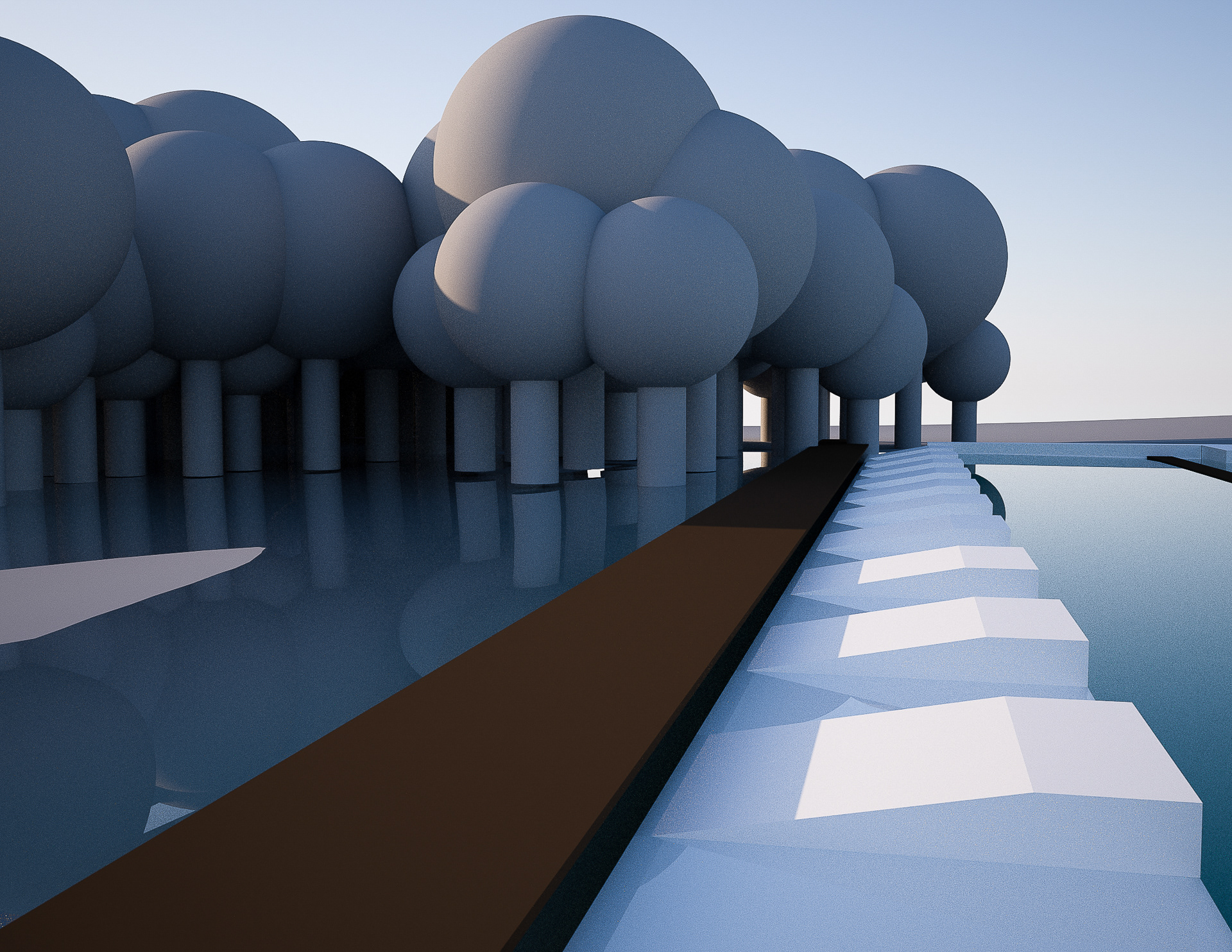
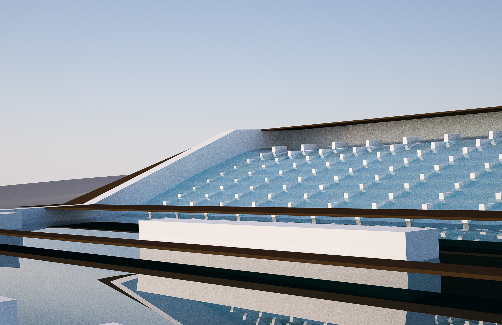
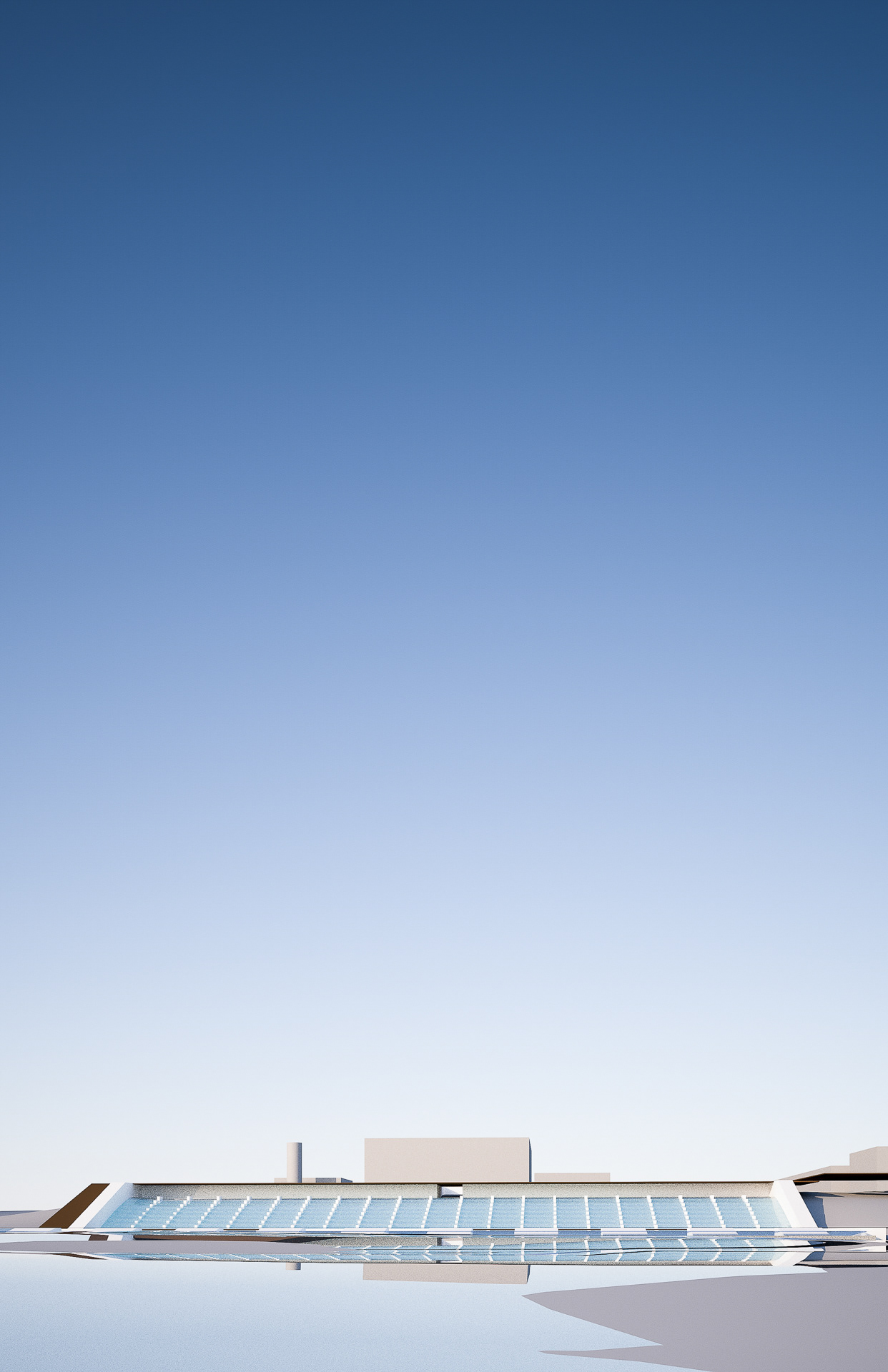
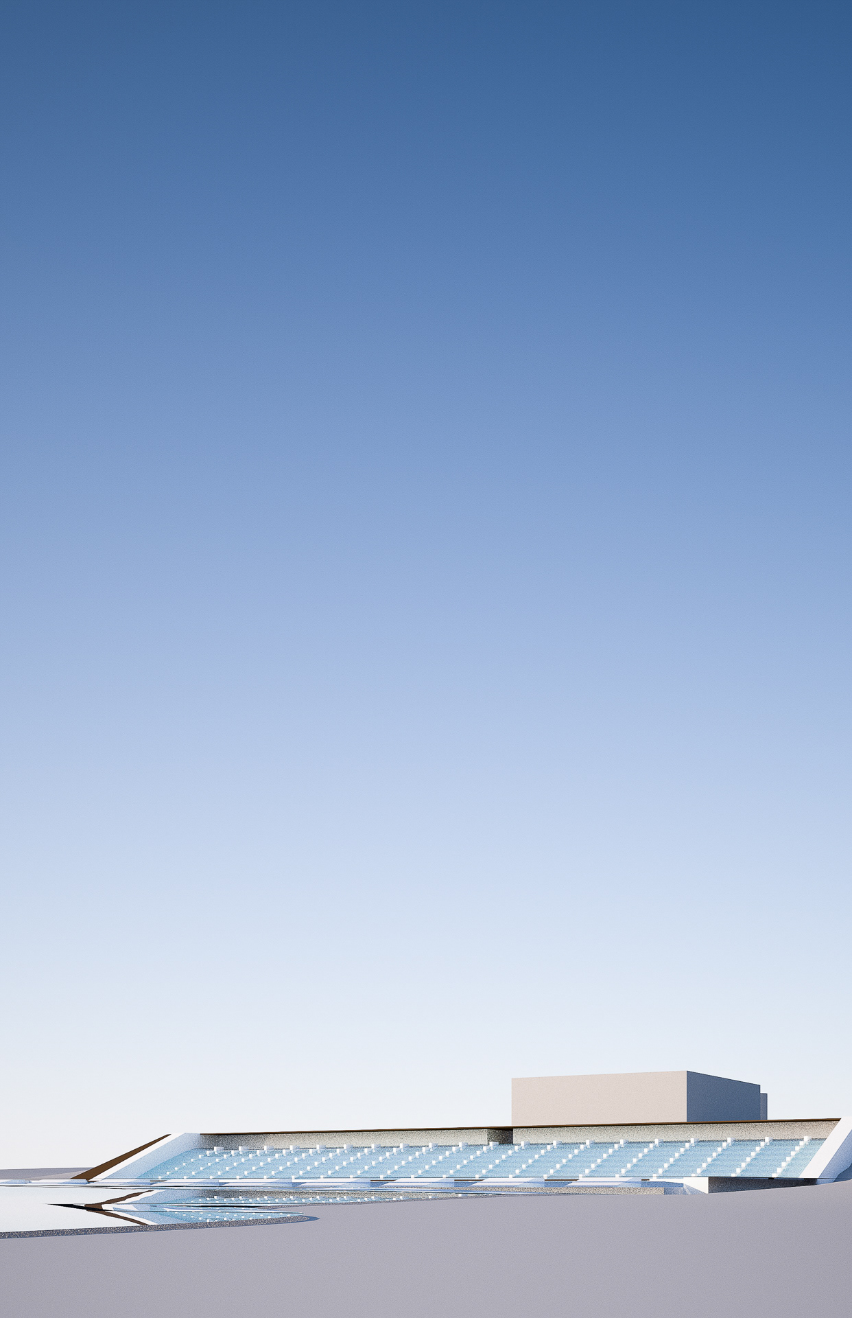
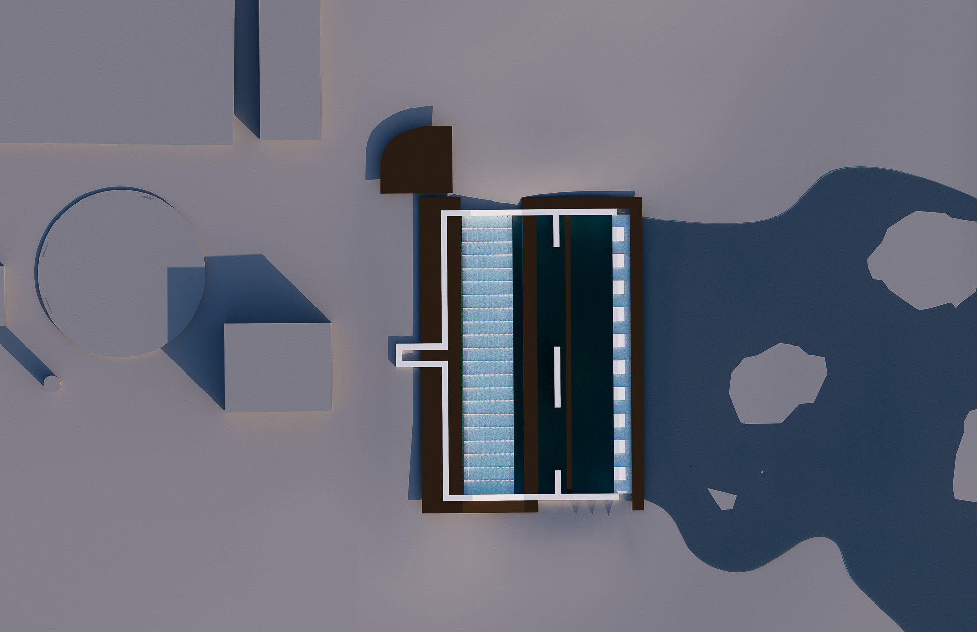
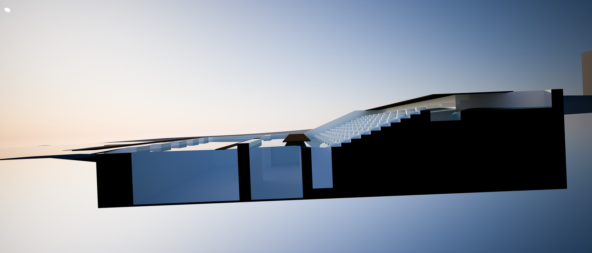
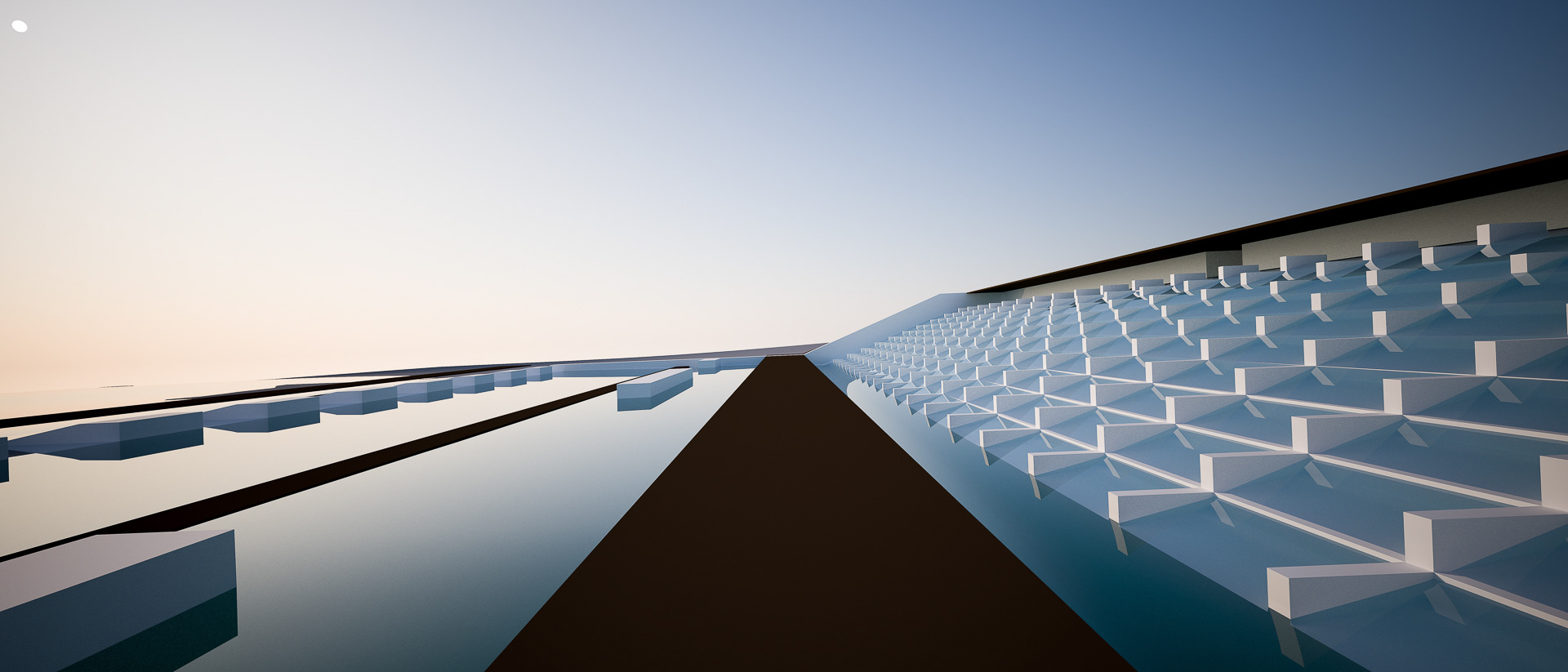
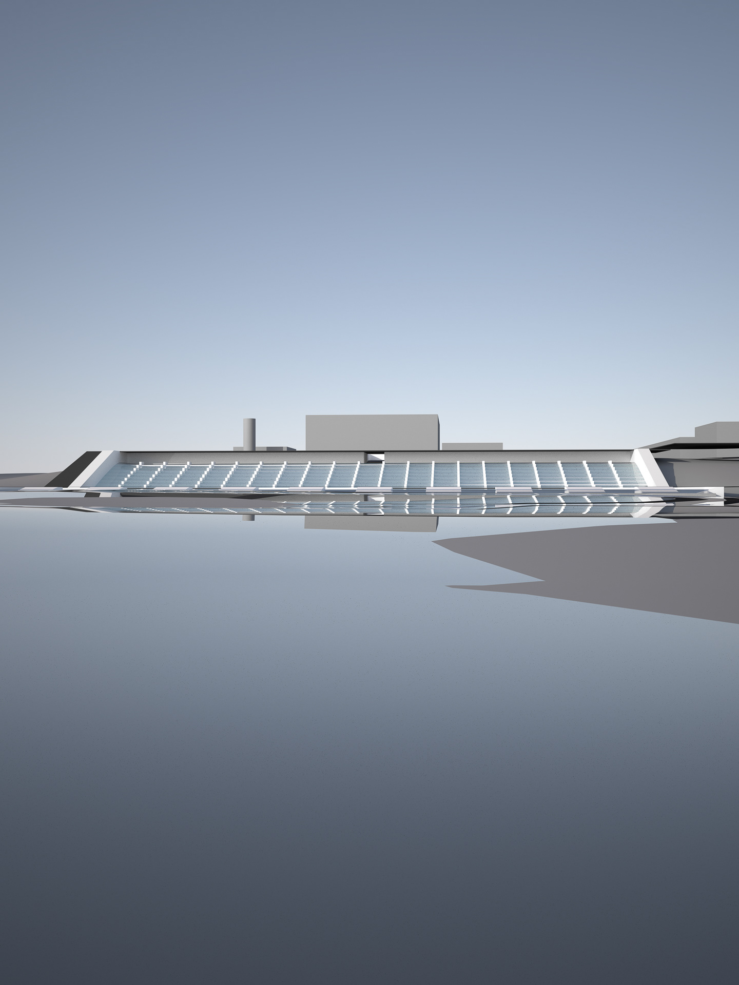
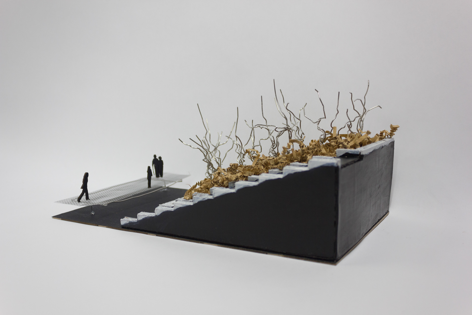
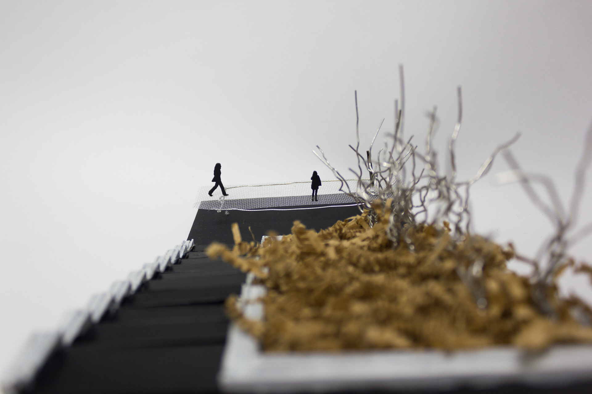
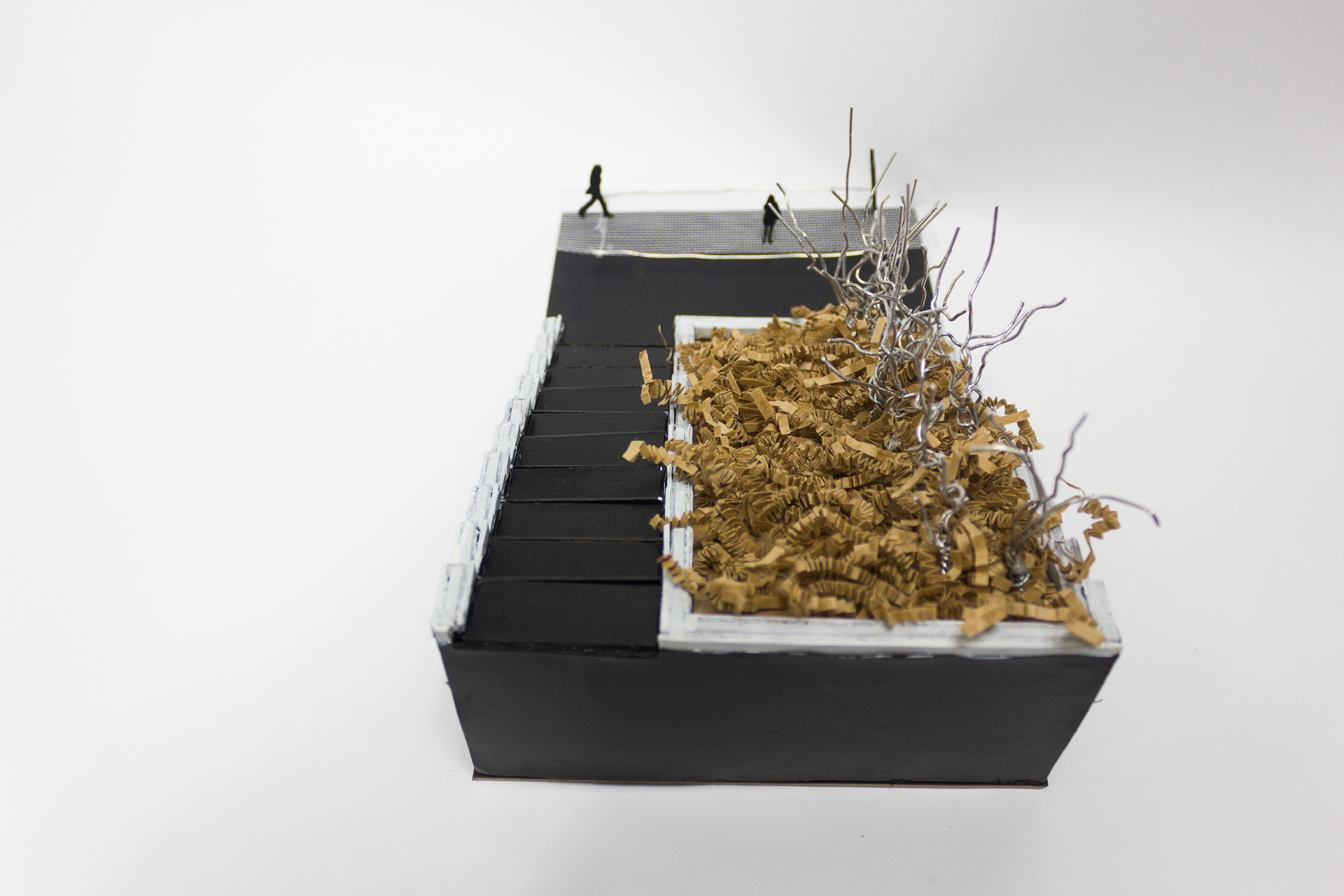
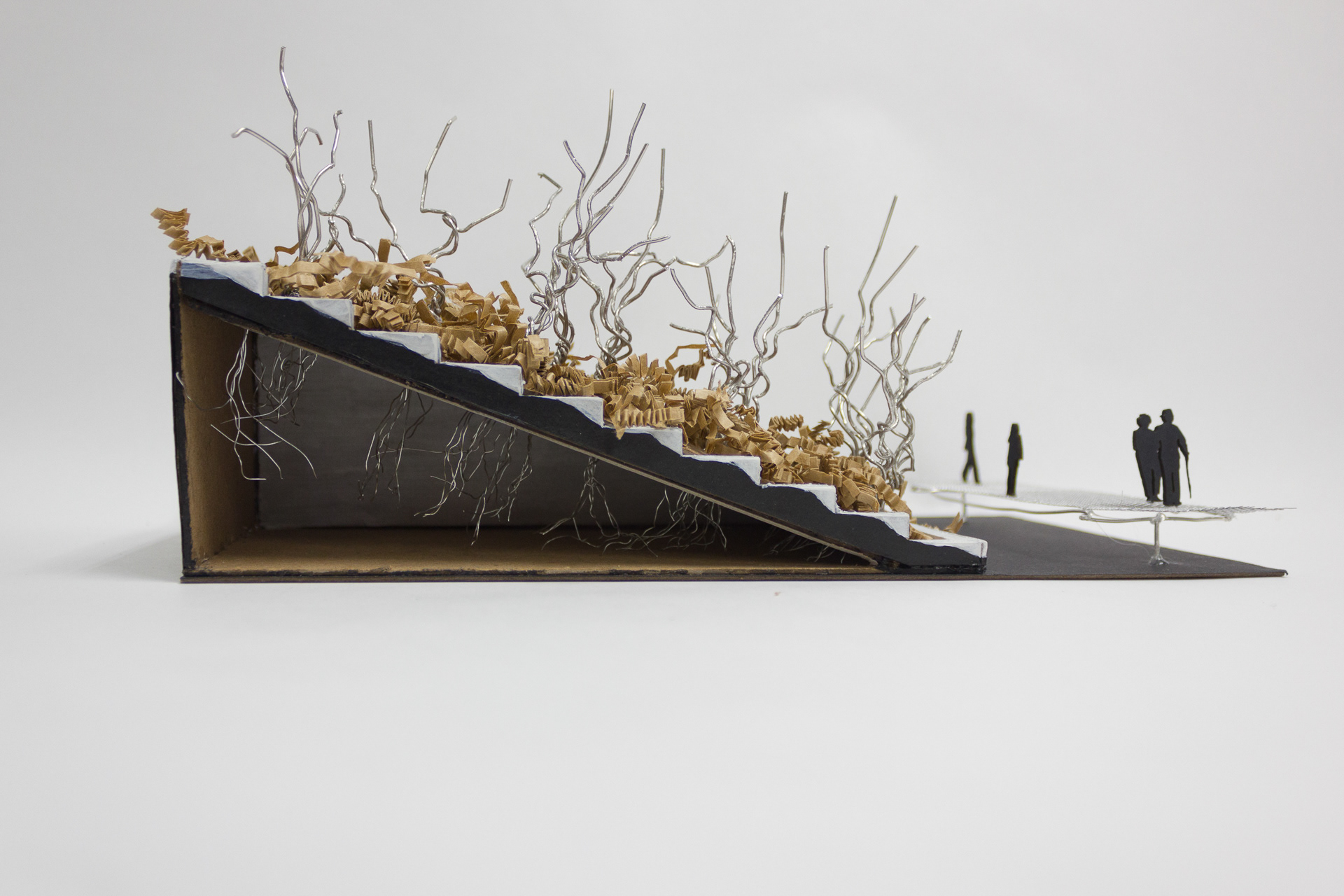
The main opportunity of the site is the plant's strangeness. The site's directive to treat sewage and the large scale, engineered machine landscape which performs this task offers a unique experience for visitors. I sought to create an immersive experience to celebrate the miracle of modern wastewater treatment. For this experience, I chose the plant outflow connection to Parkerson Mill Creek as my site. The outflow is the best chance for someone to get up close and personal with the flow of the machine. Additionally, daylighting the pipe allowed me to create a new trajectory using the erosive flow of water. One further goal I wanted to accomplish was recreating the design language of the machine in my design, to fully incorporate my intervention with the existing site.
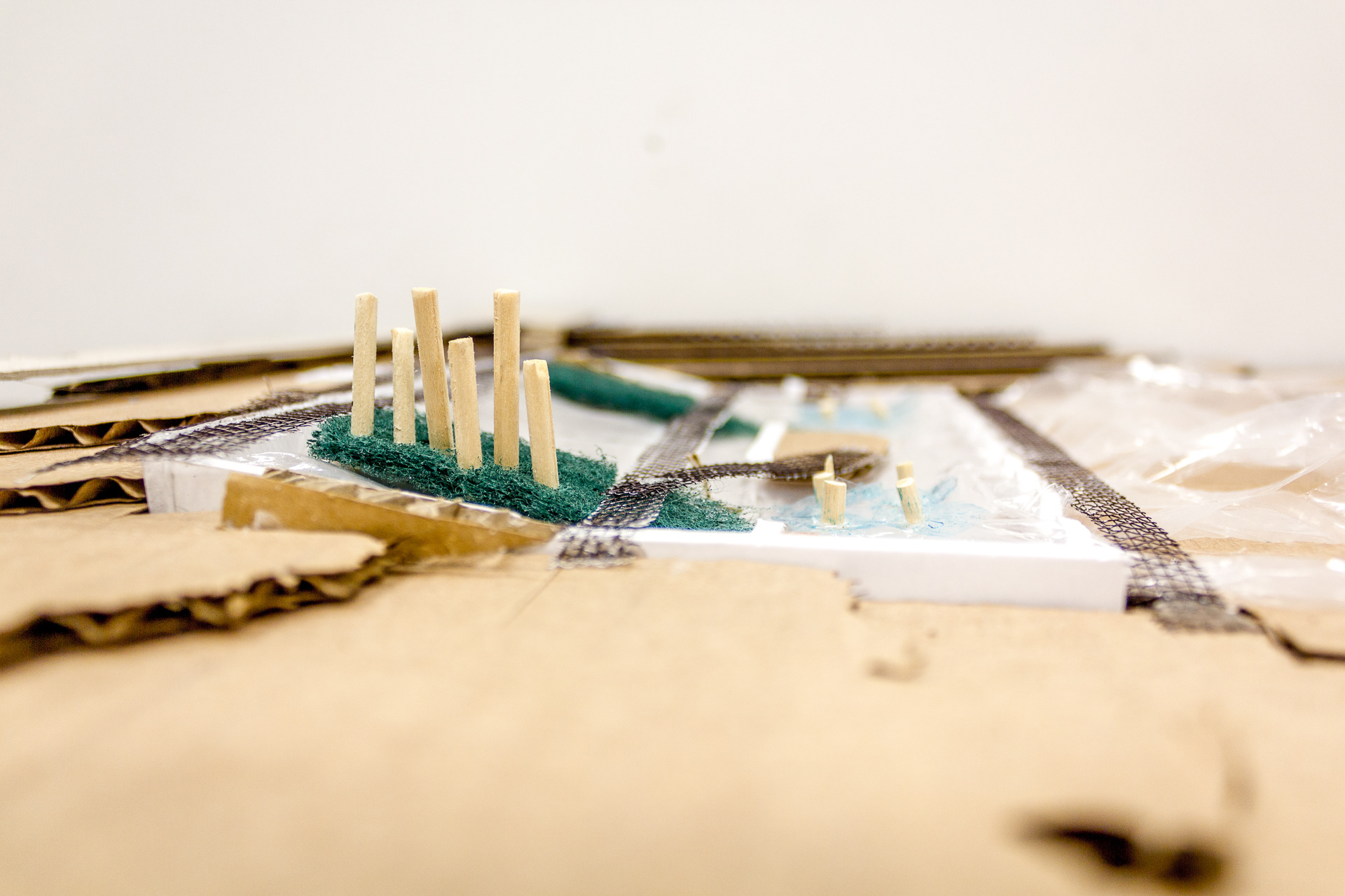
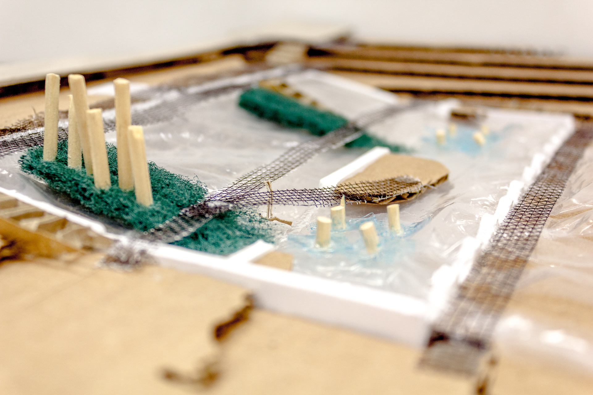
My methods of researching for my project included site visits, site photography and field sketching at different times and weather conditions; drone imagery, rhino and grasshopper modelling, Maxwell rendering; physical model building, iteration and perspective and section drawings from the model; internet research on hydrodynamics, construction material details and native plant ecosystems; as well as researching and learning from existing landscape projects to be inspired by including the Berkshire boardwalk, farum midtpunkt, Mackenzie falls and Tempelhof wasserpark.
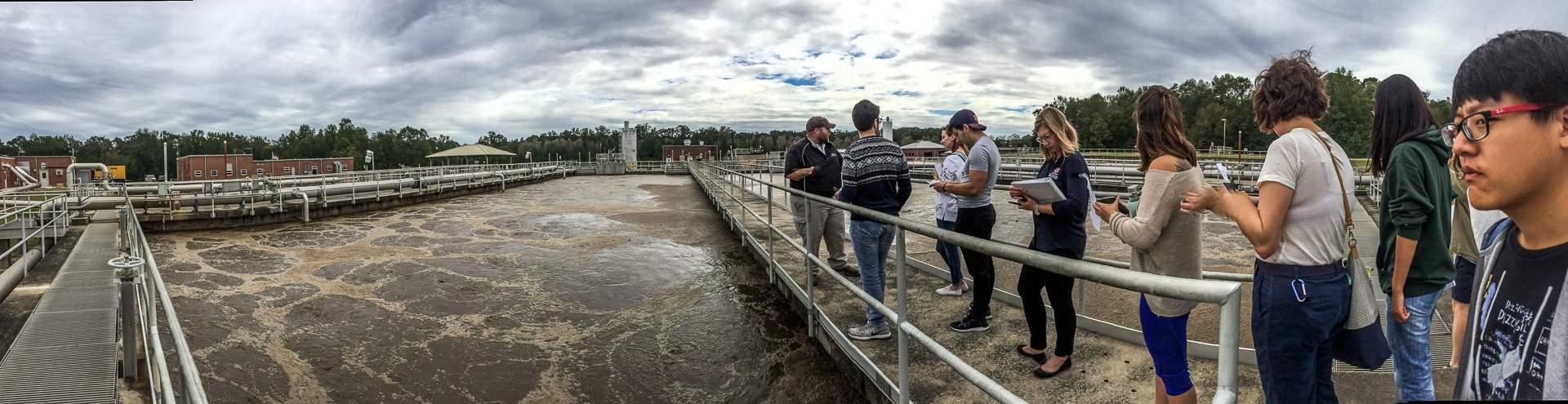
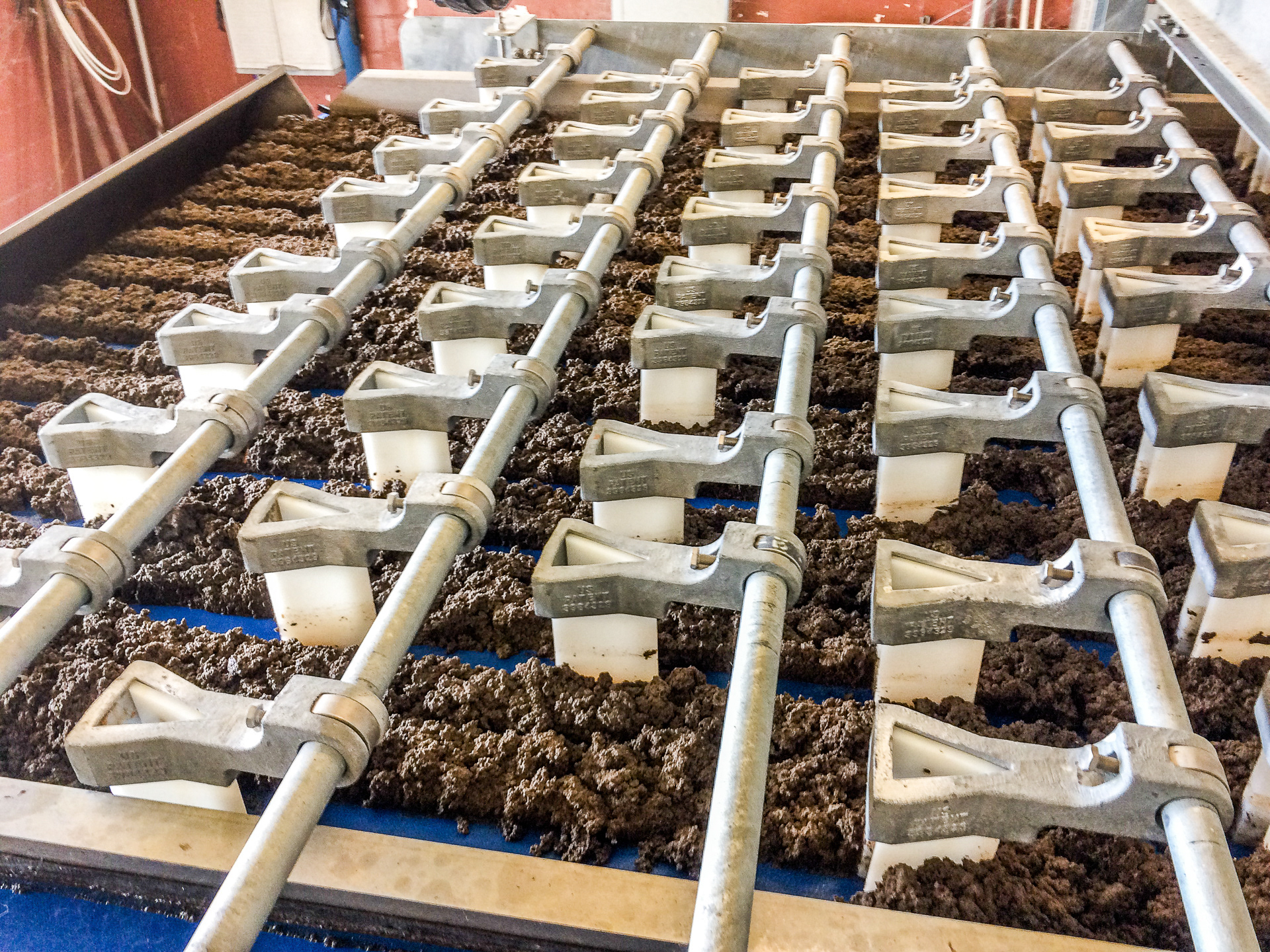
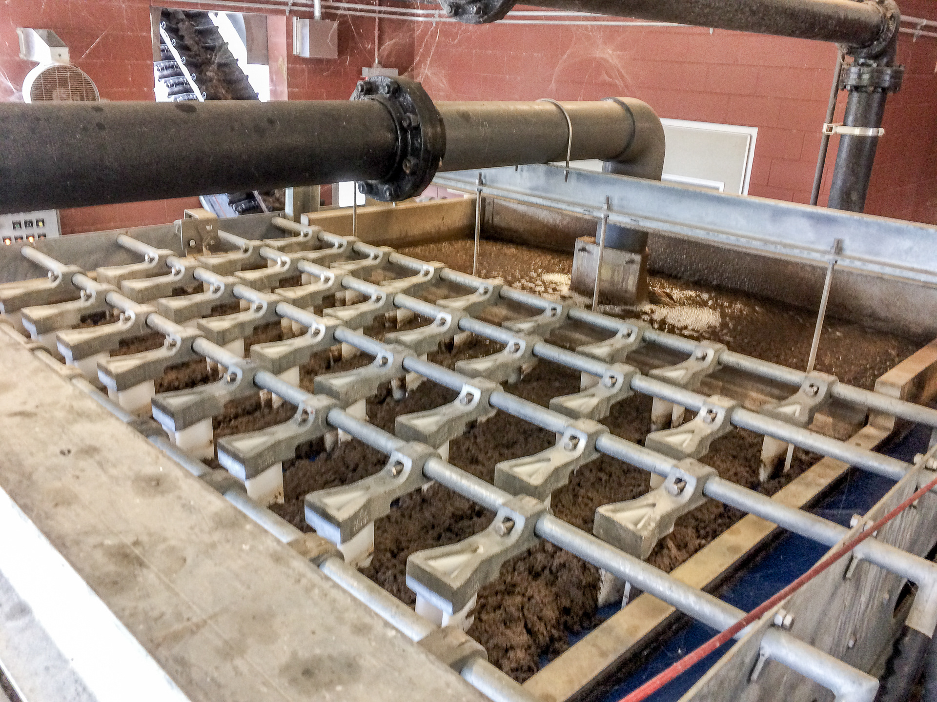
Tour of the Machine
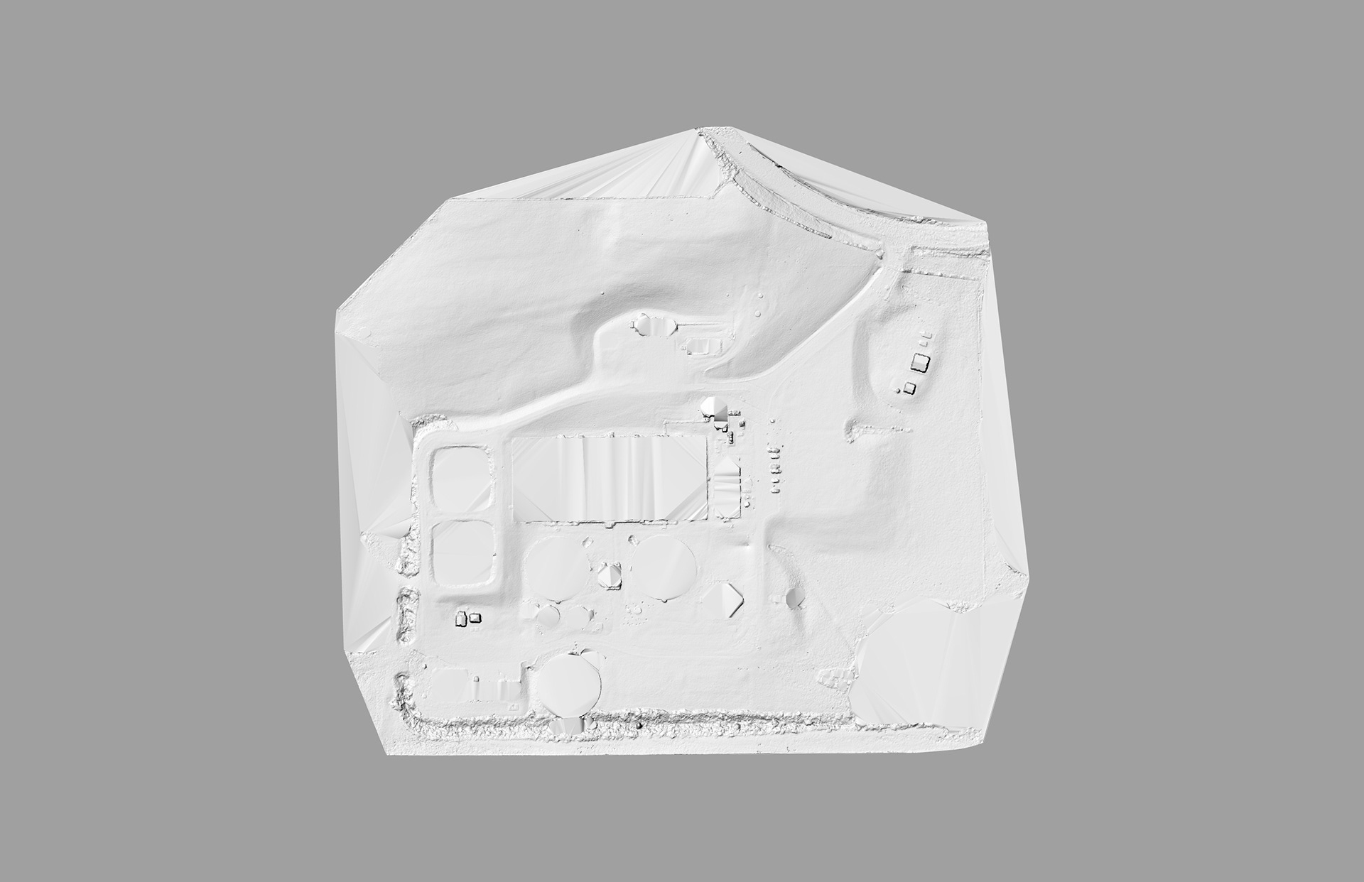
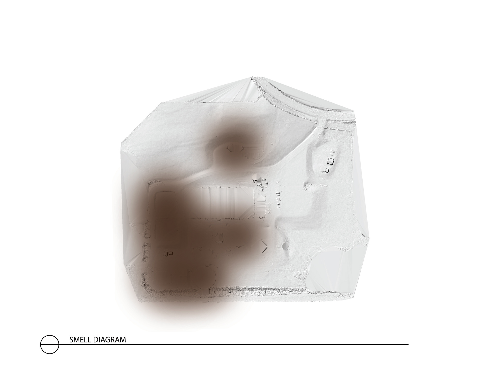
Drone Imagery and Point Cloud
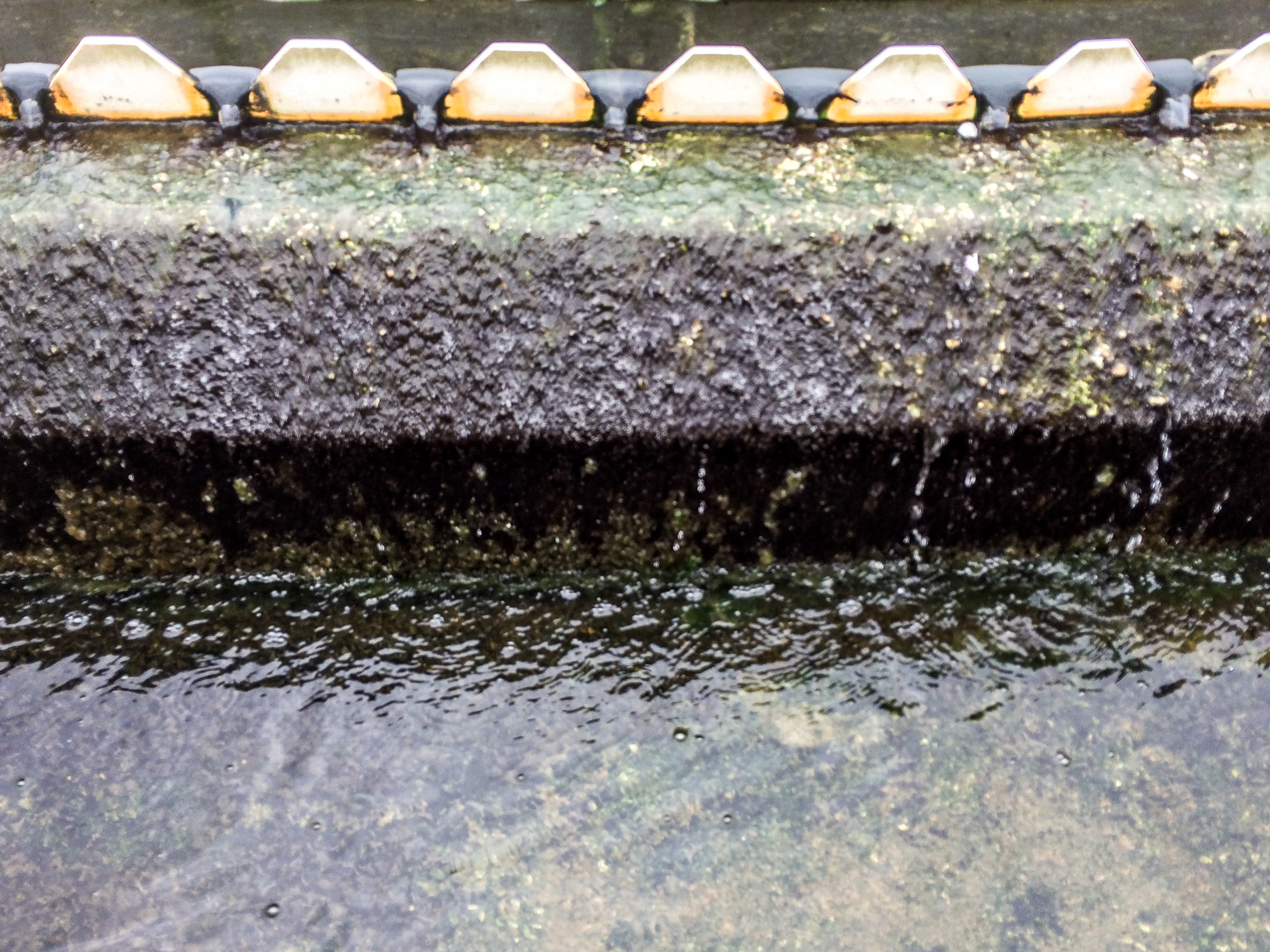
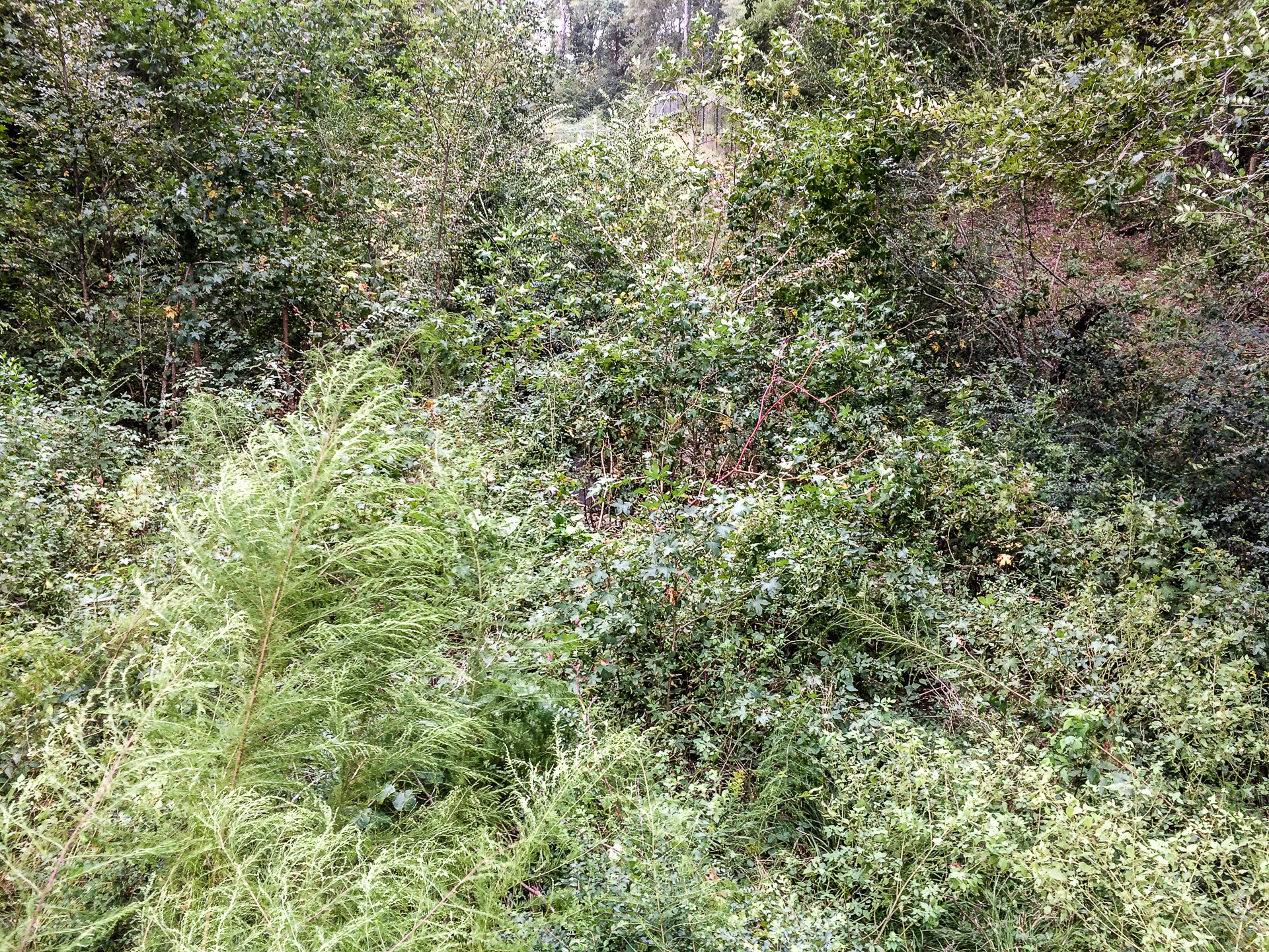
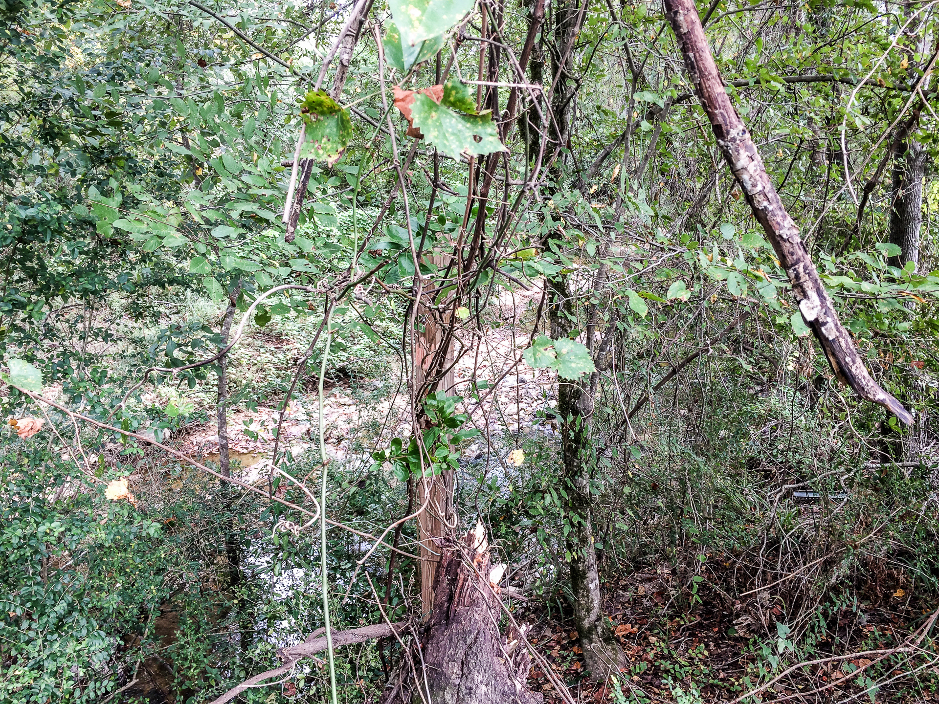
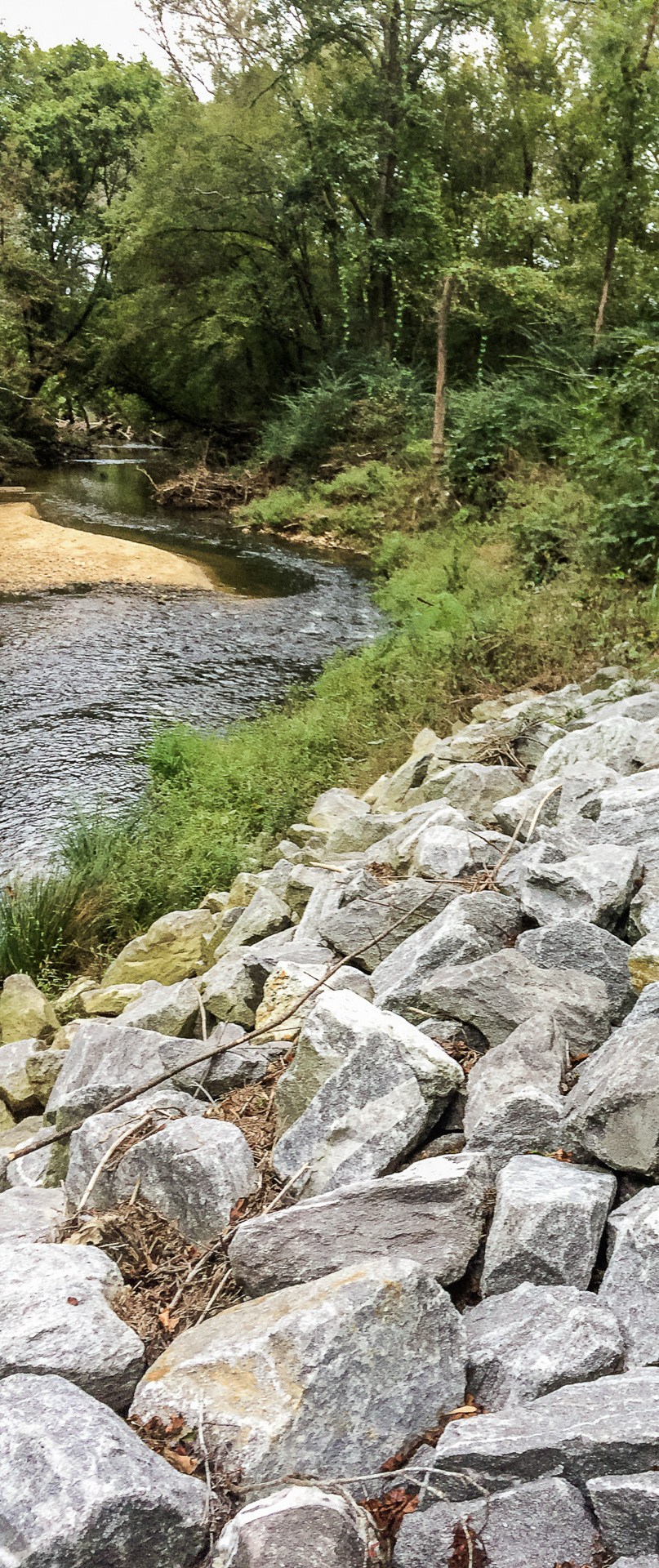
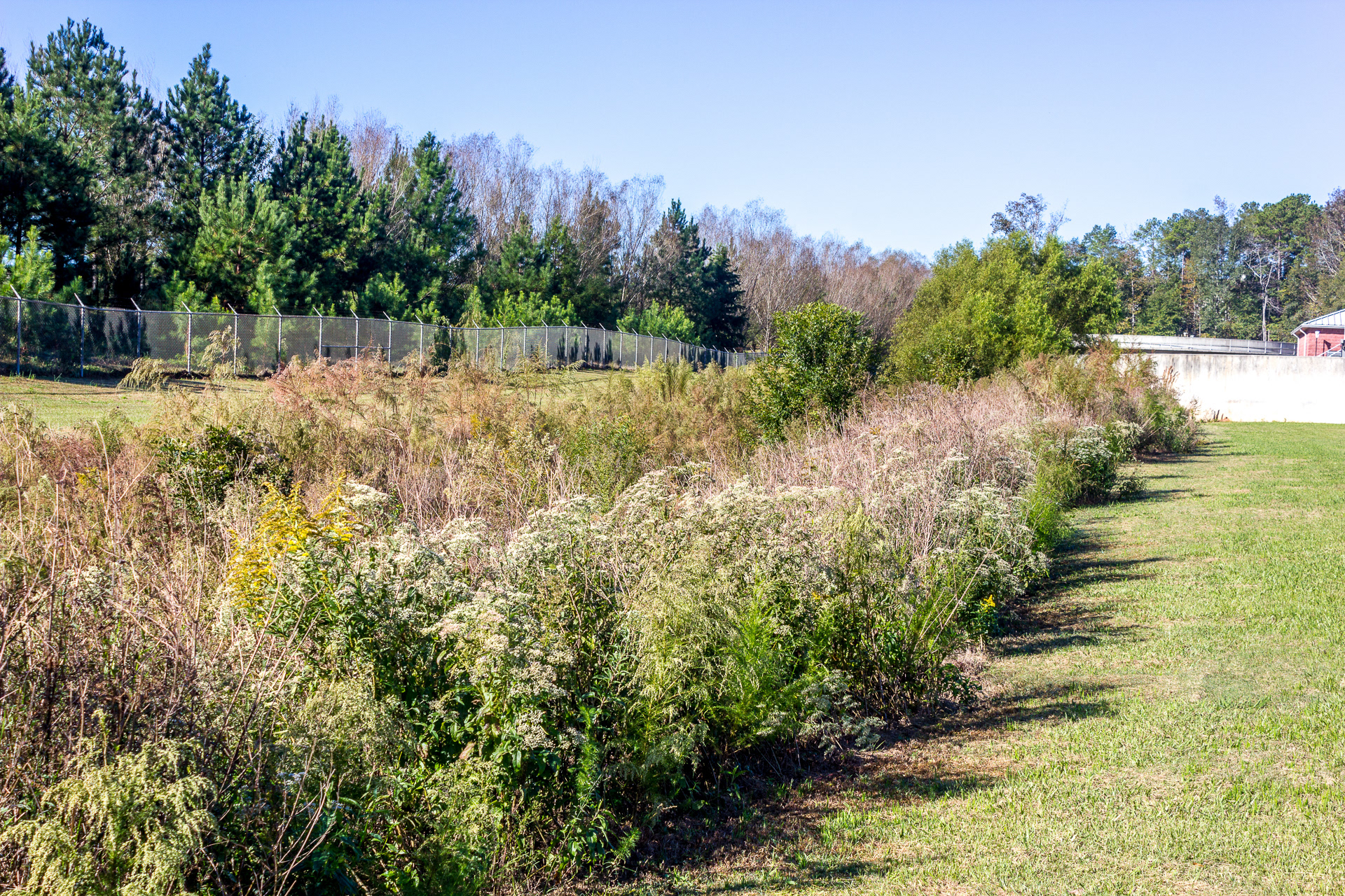
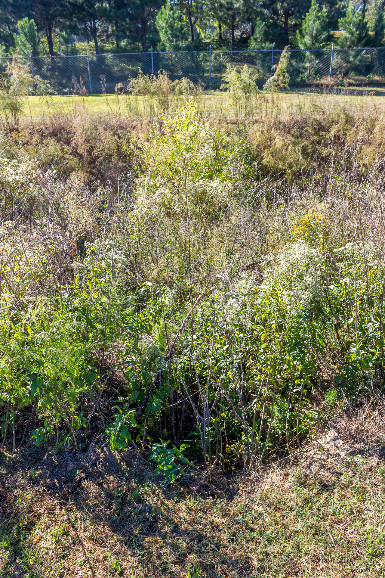
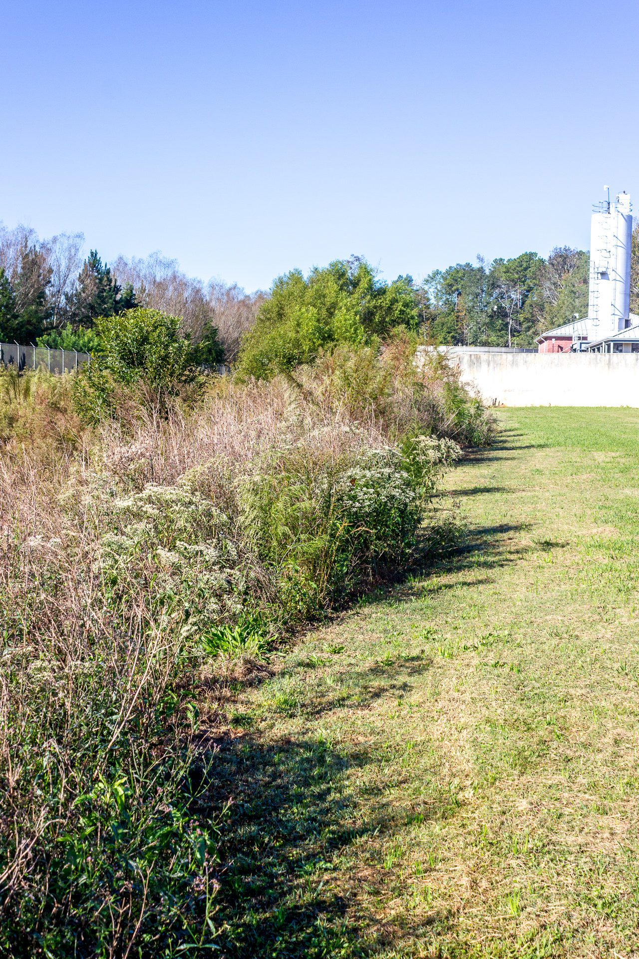
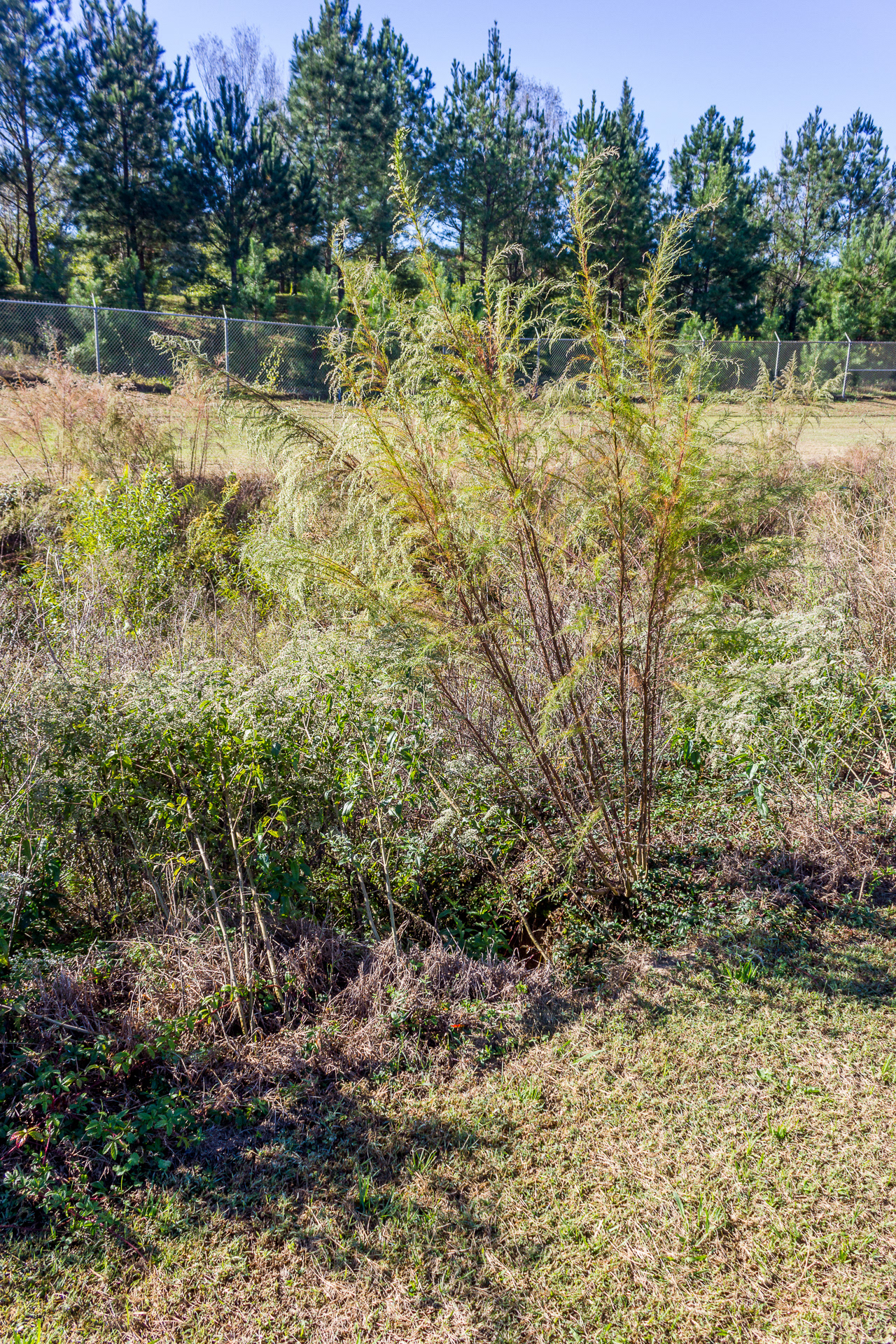
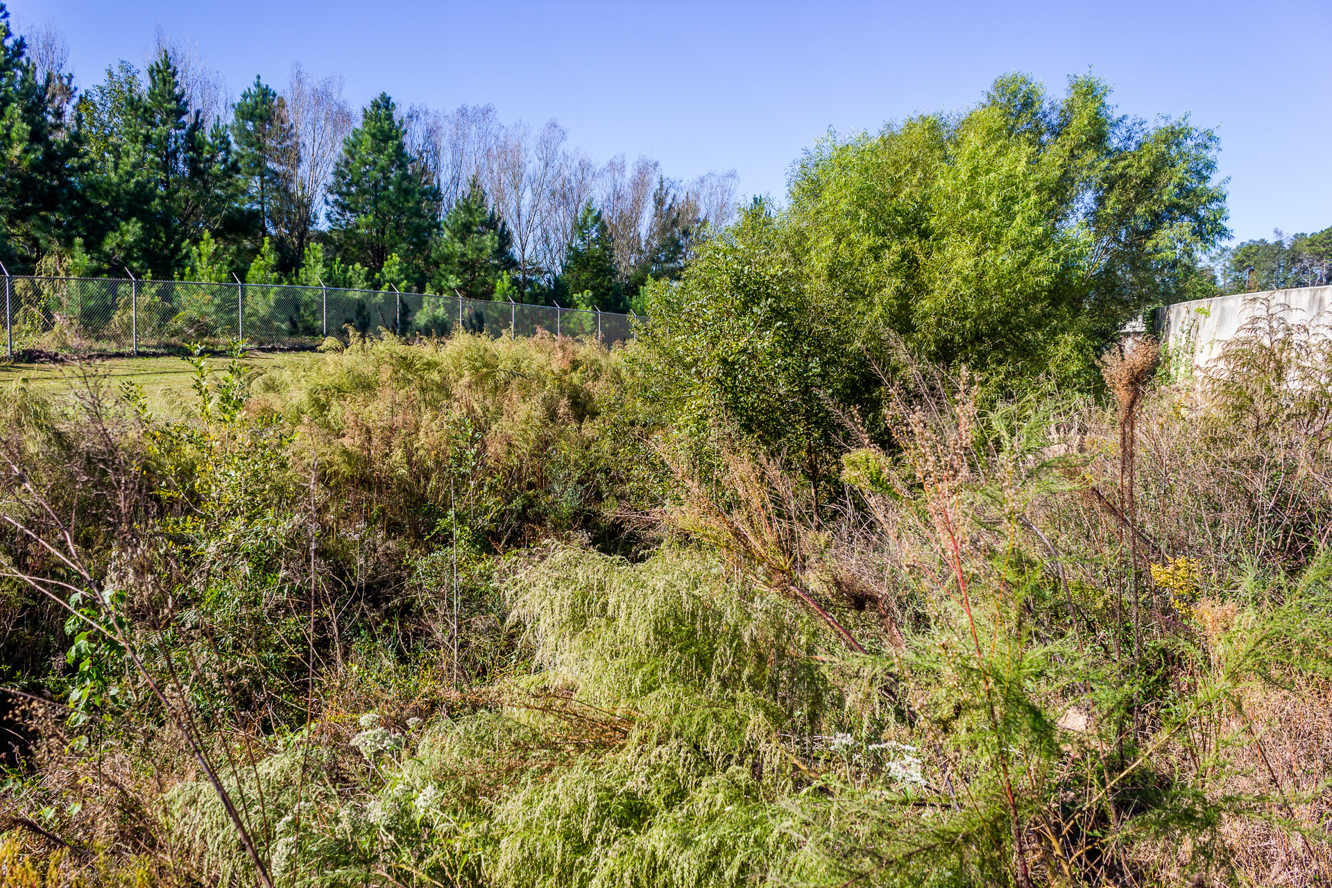
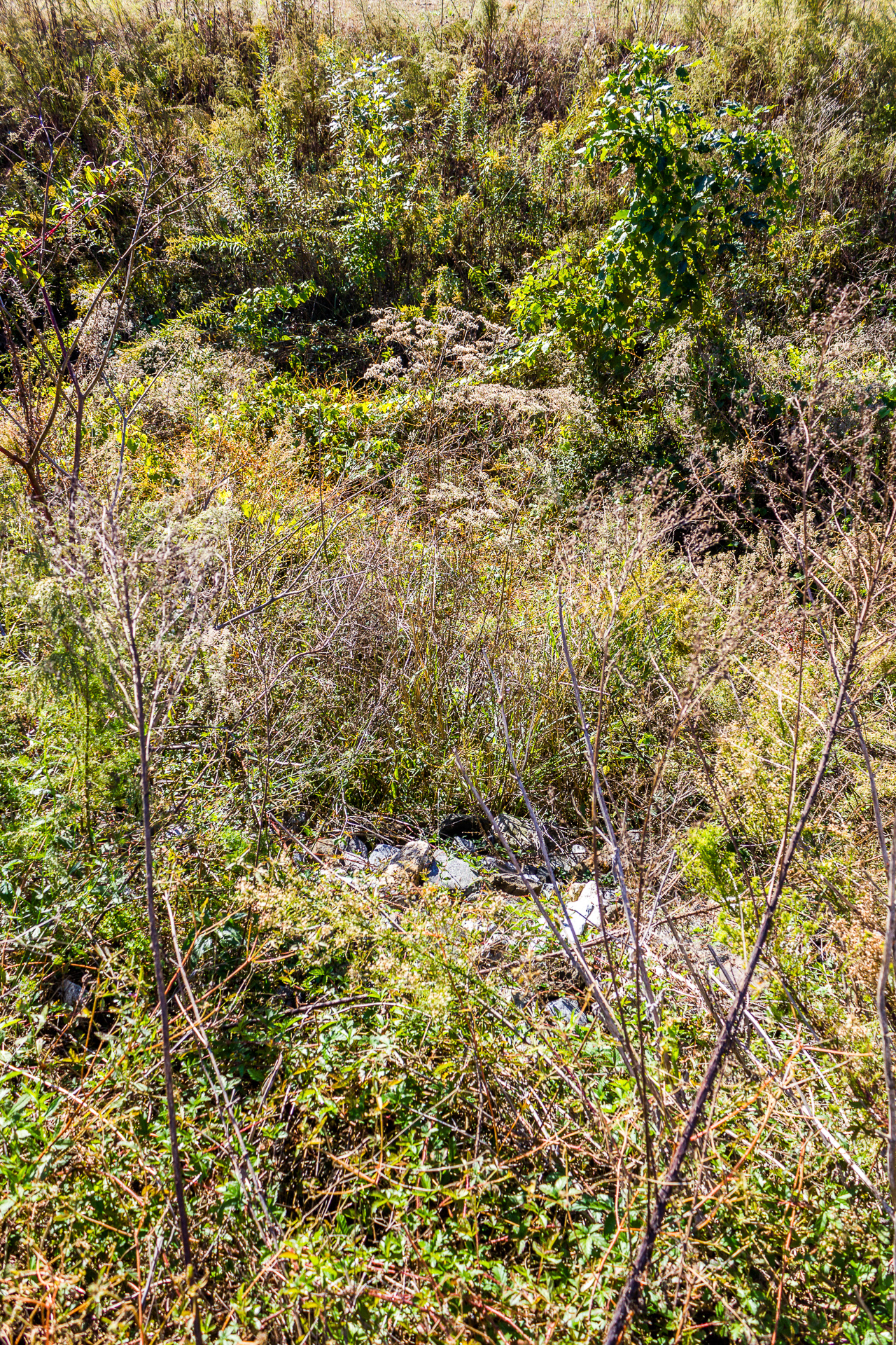
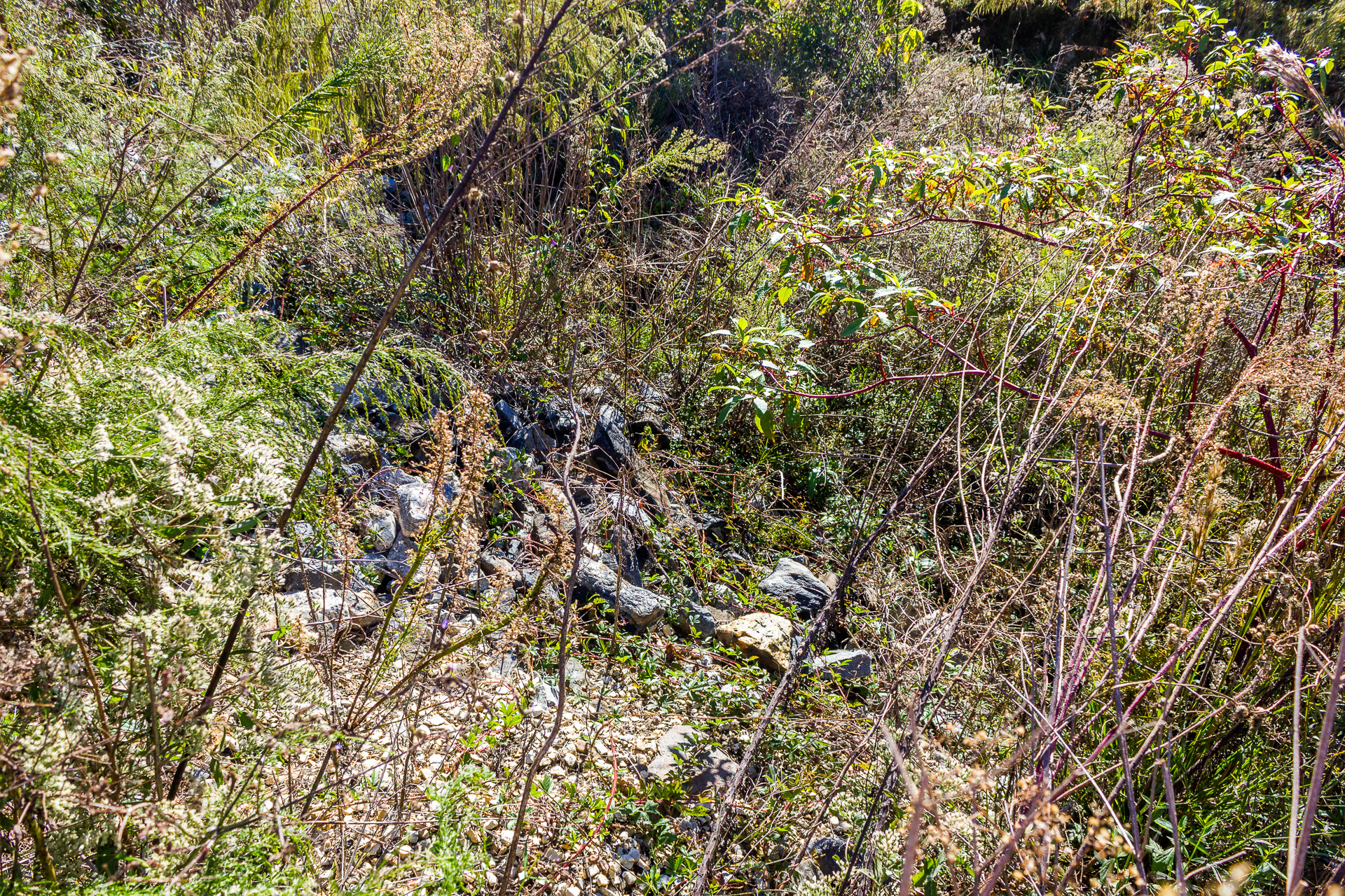
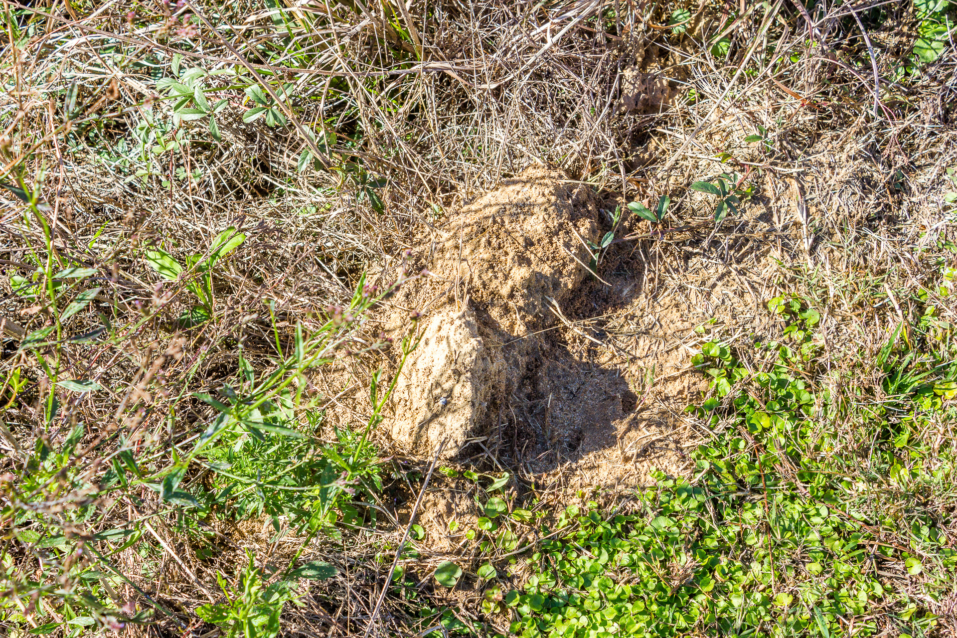
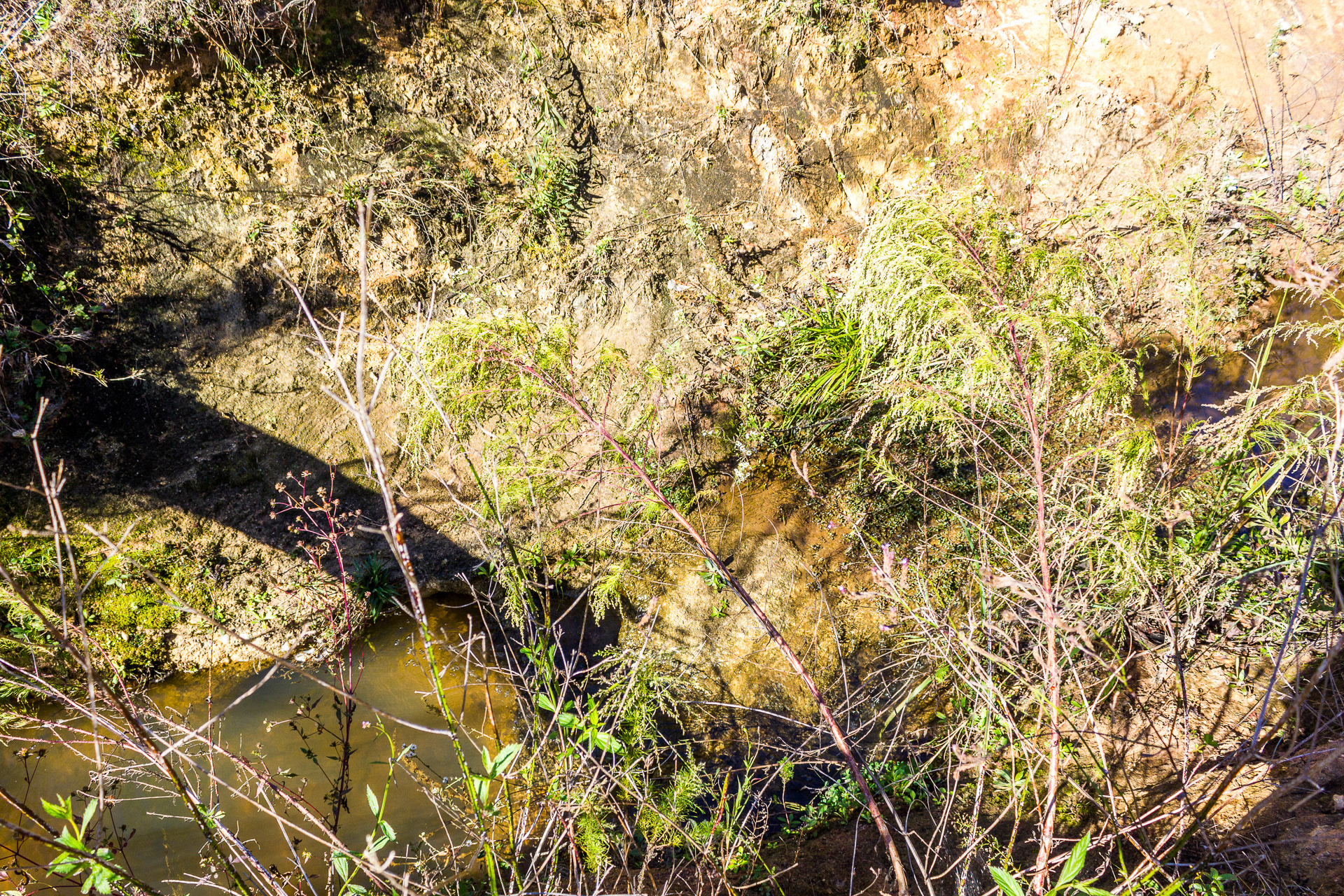
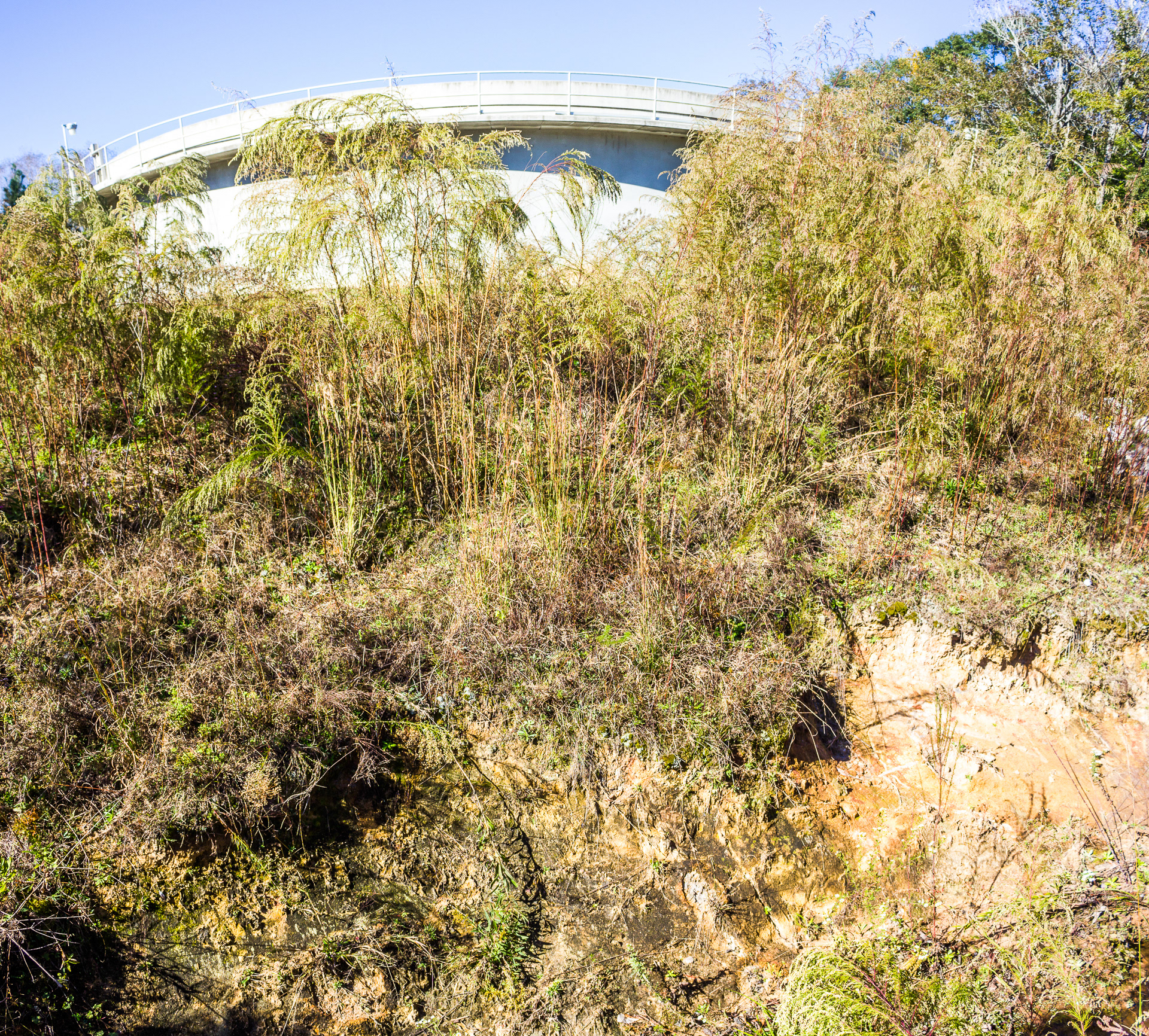
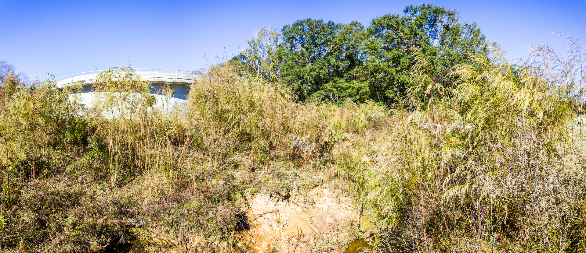
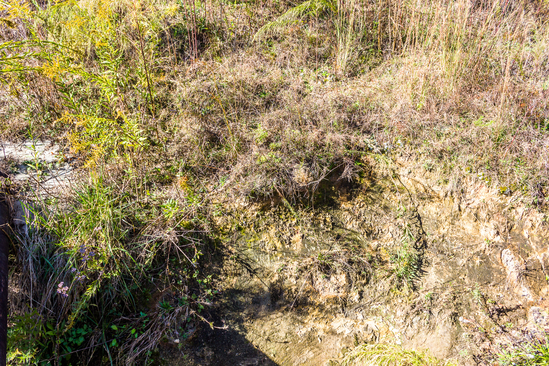
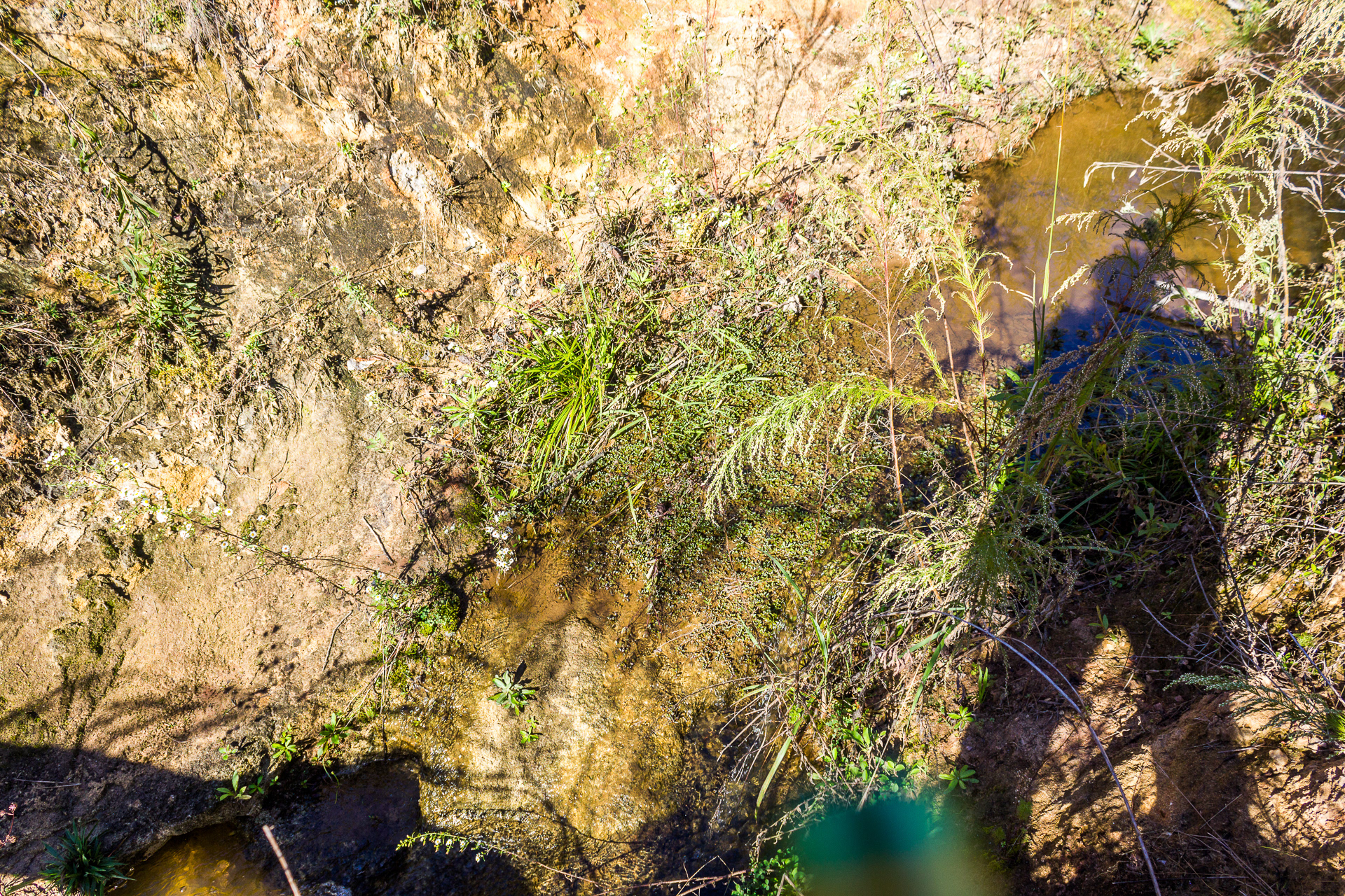
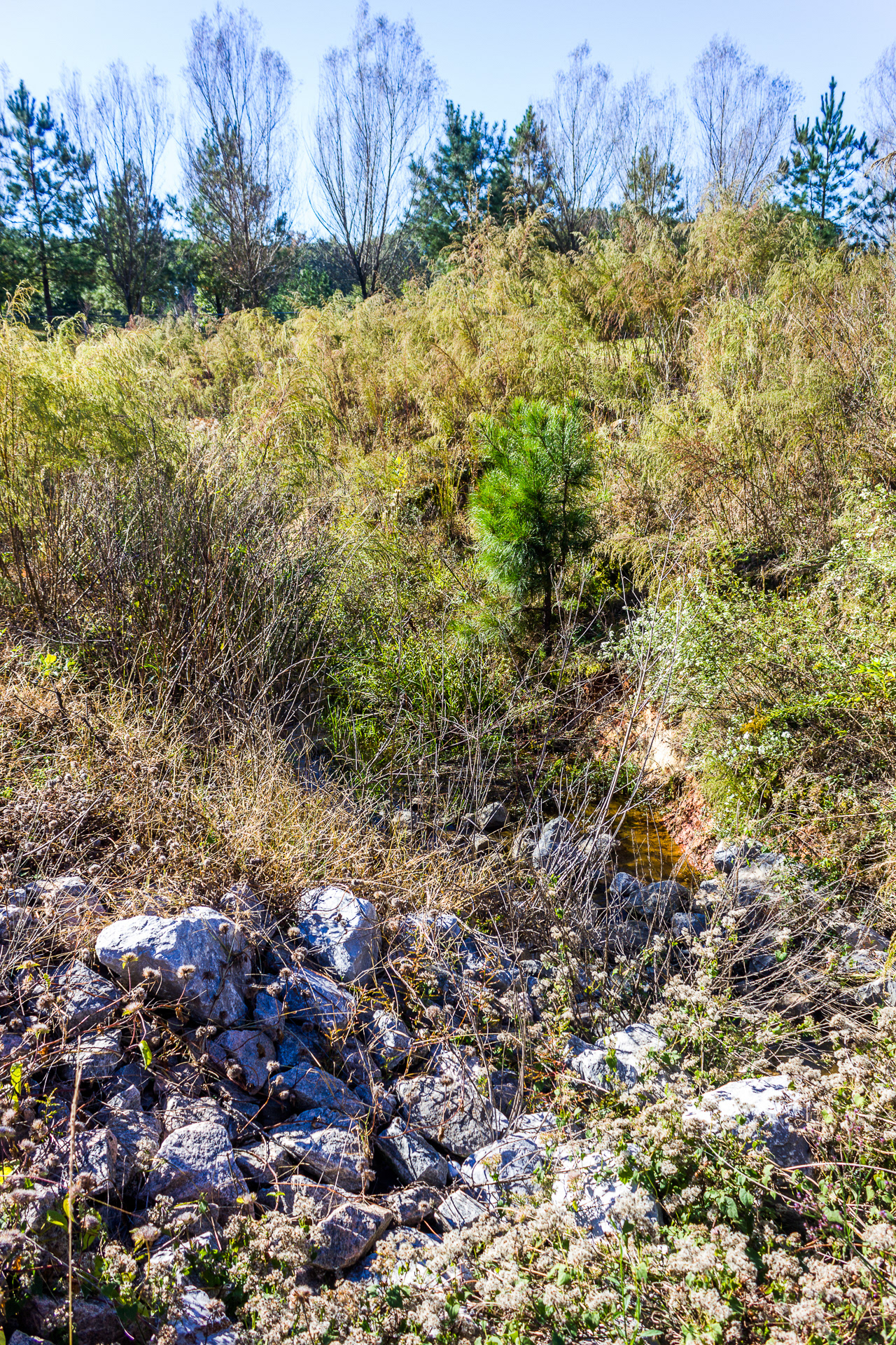
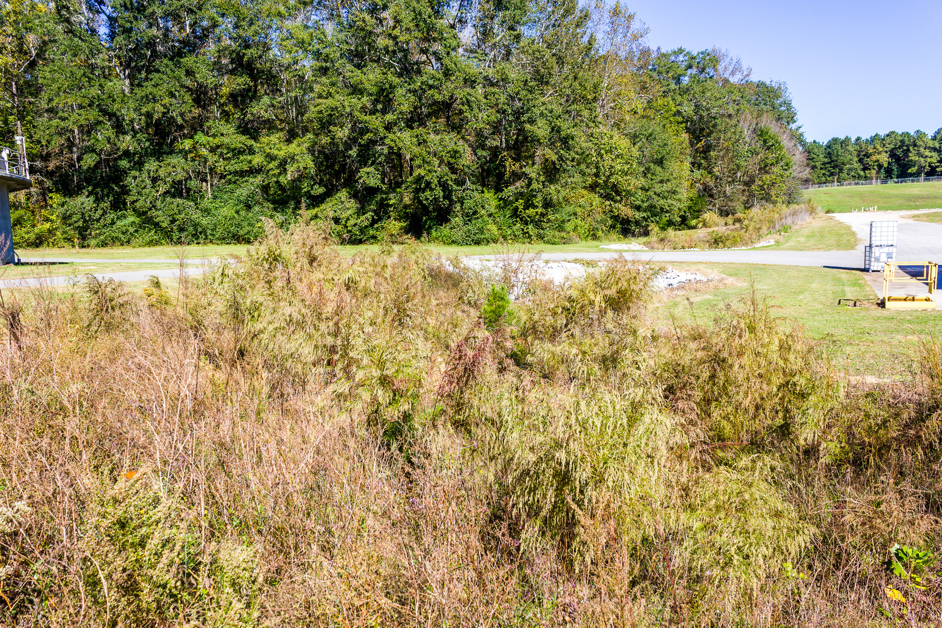
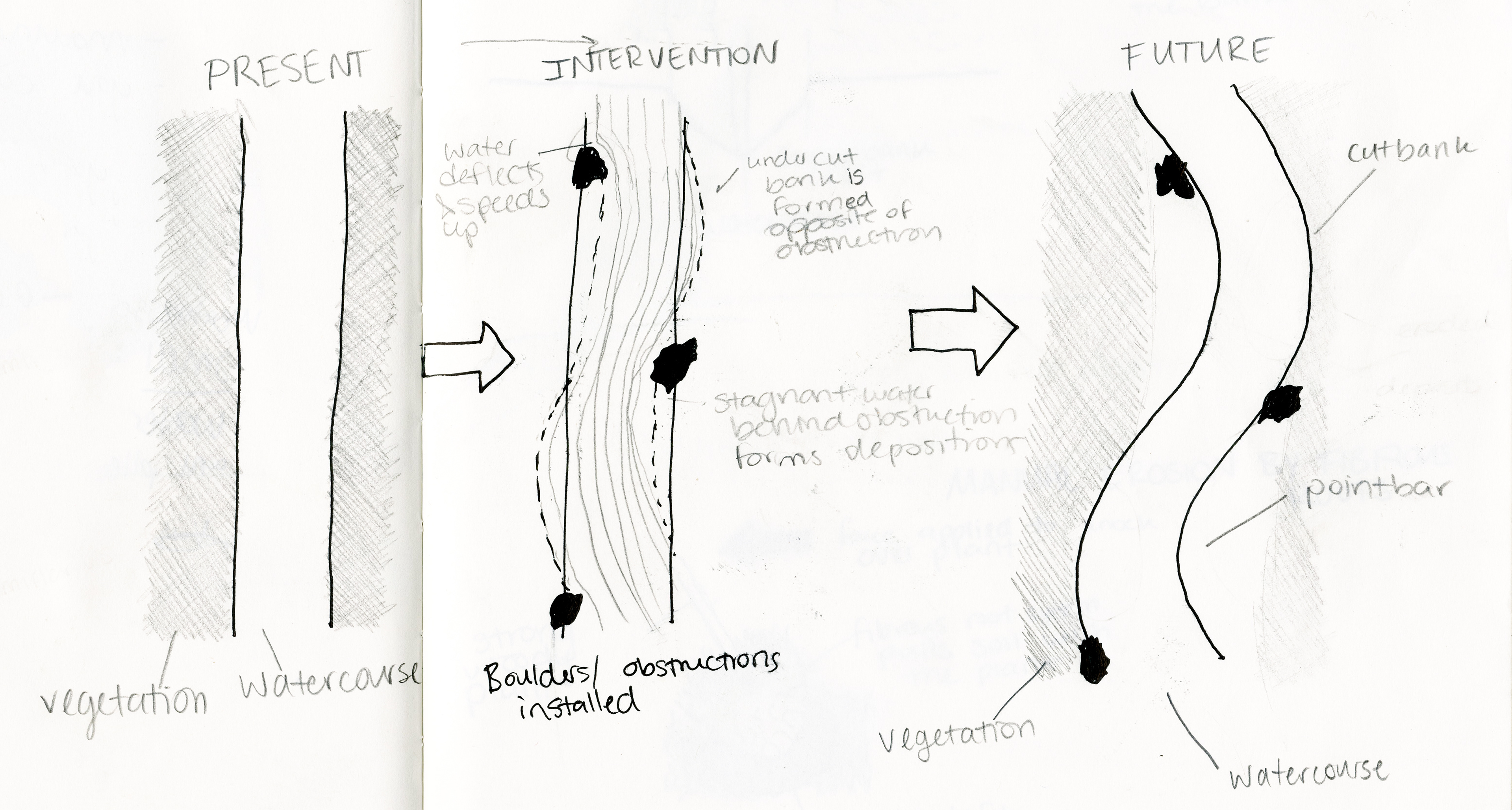
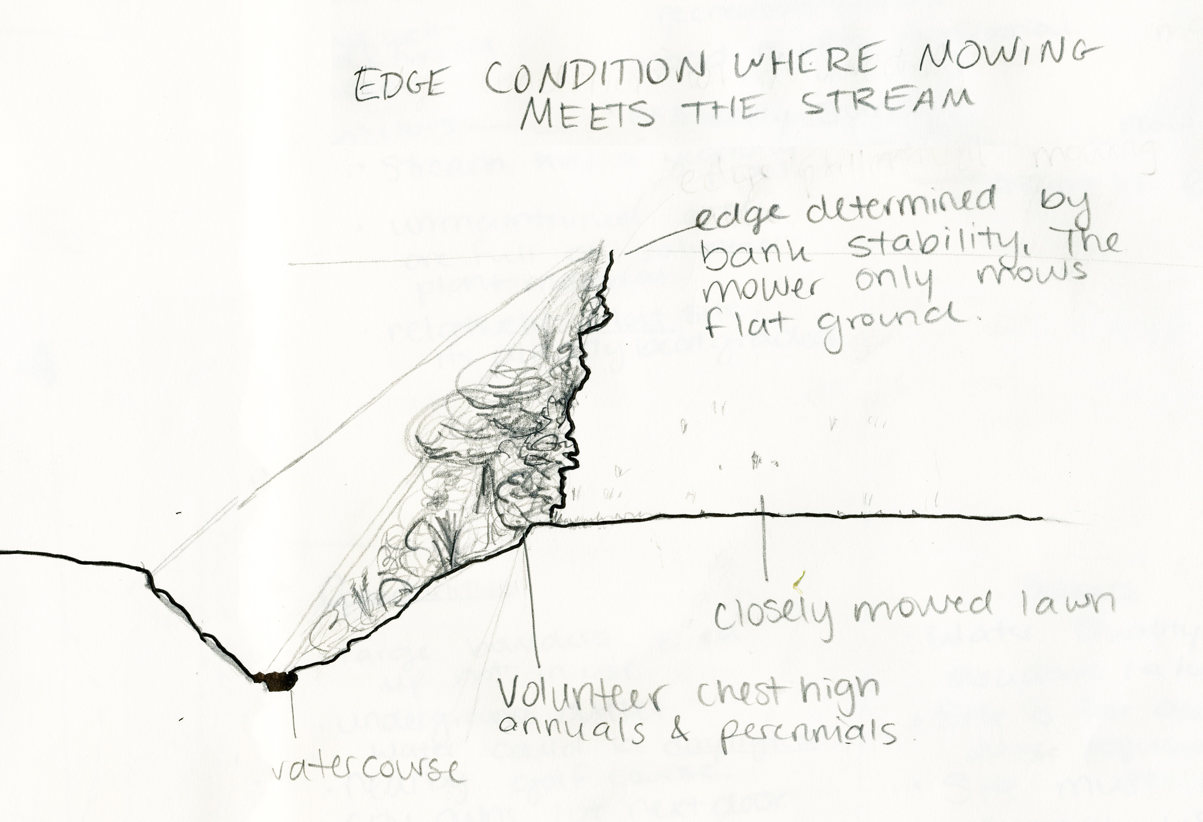
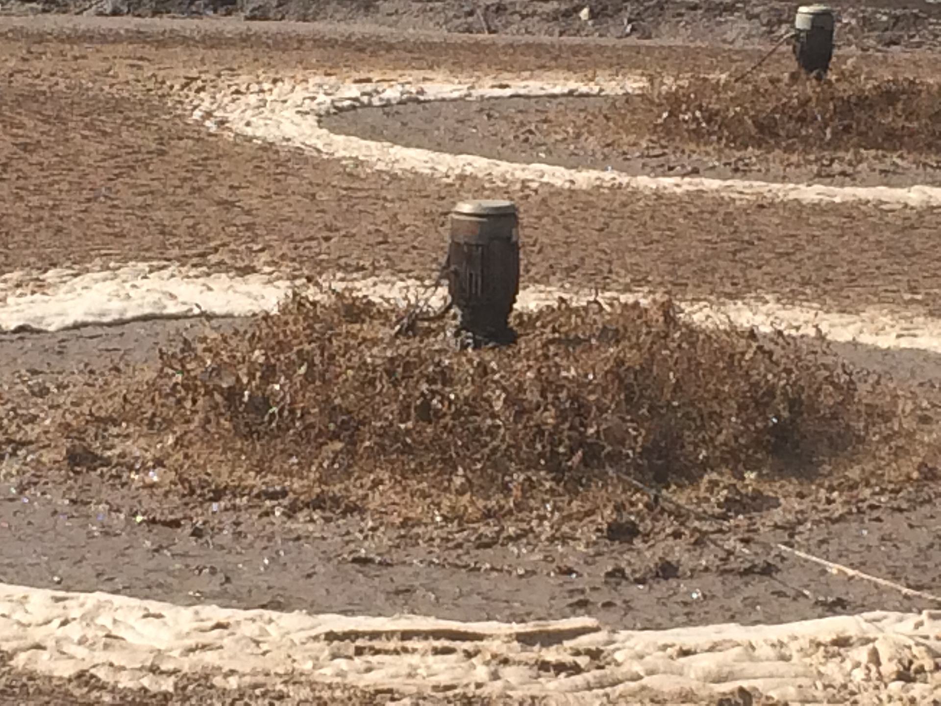
Identifying Existing Landscape Trajectory - Field Photography
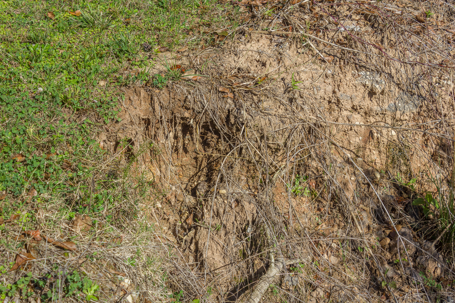
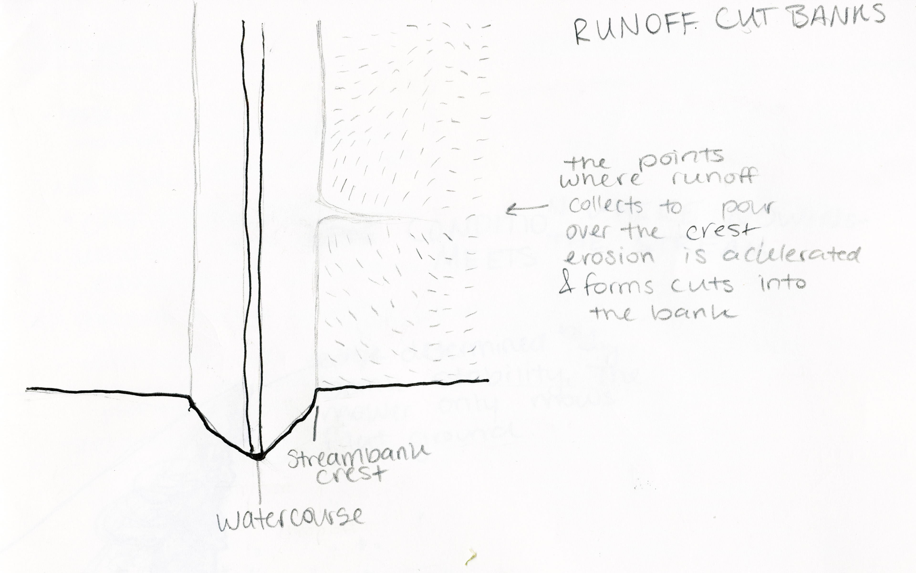
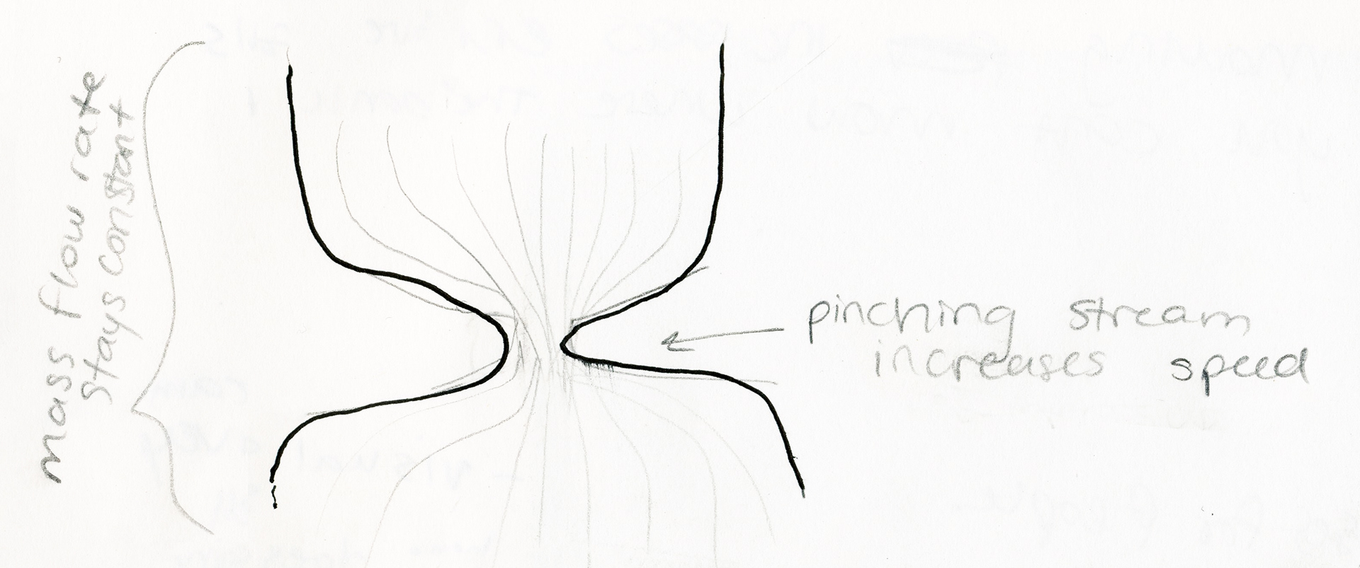
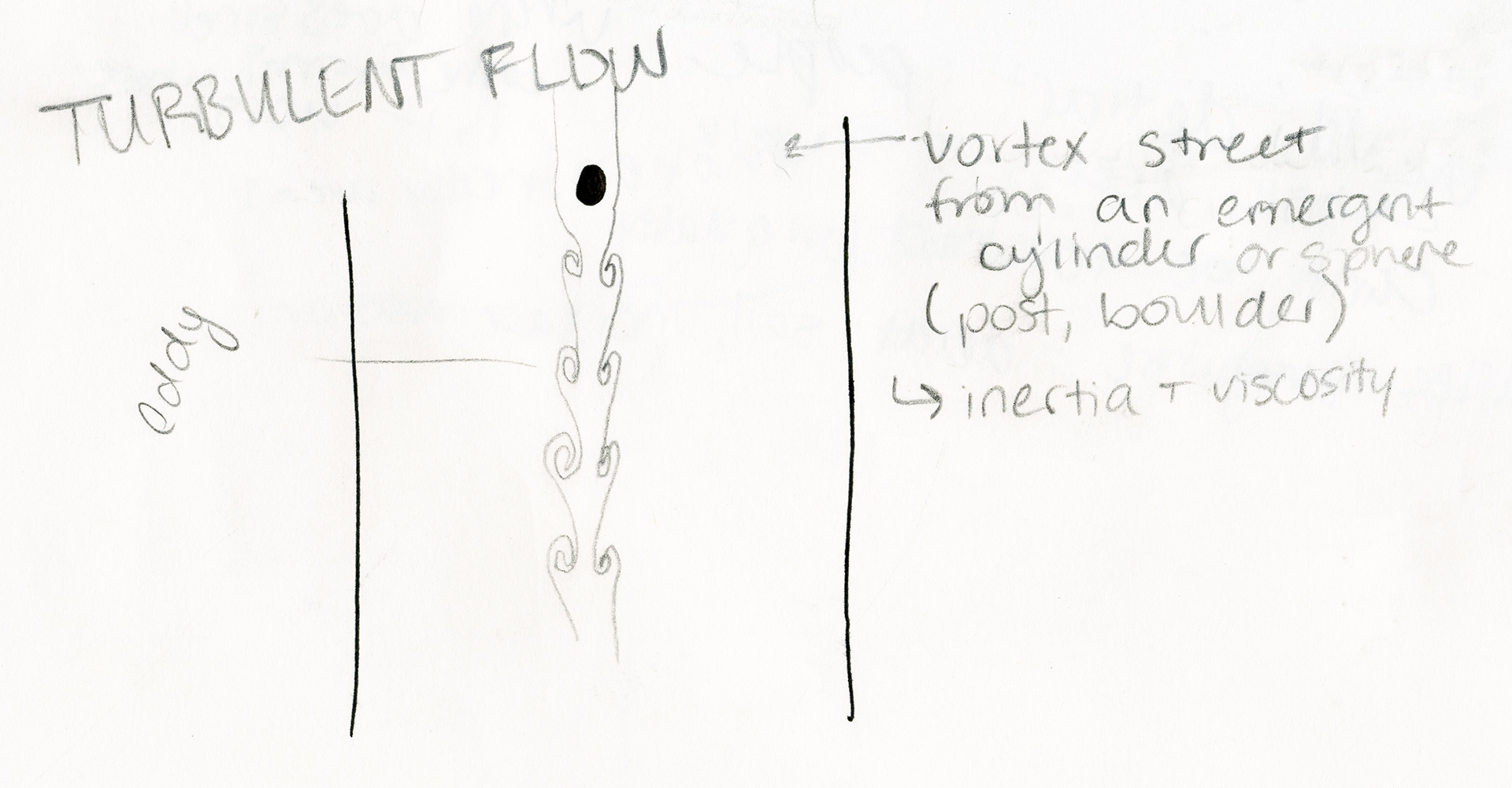
Identifying Existing Landscape Trajectory - Field Sketching
Trace Paper Sketching and Concept Refinement
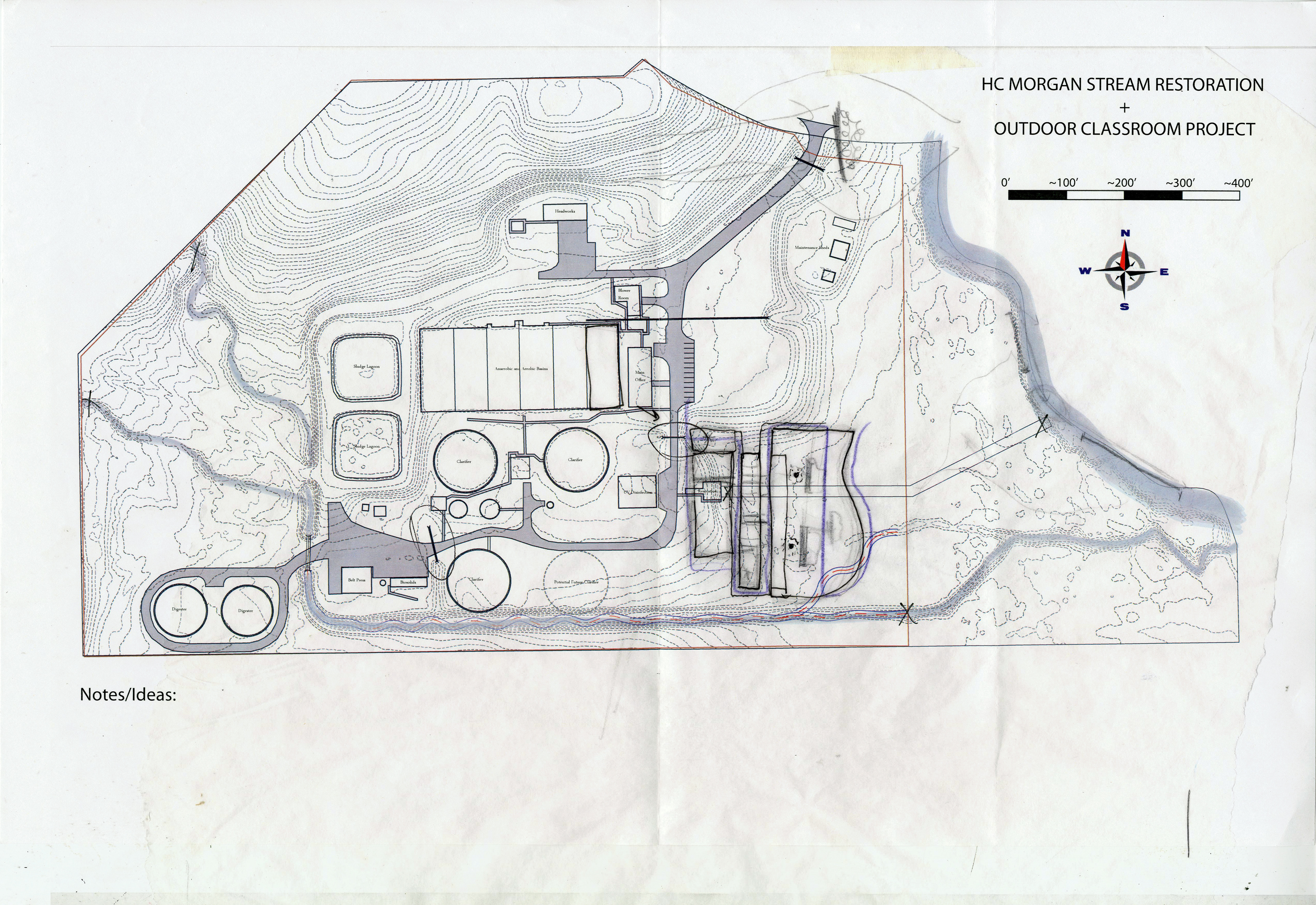
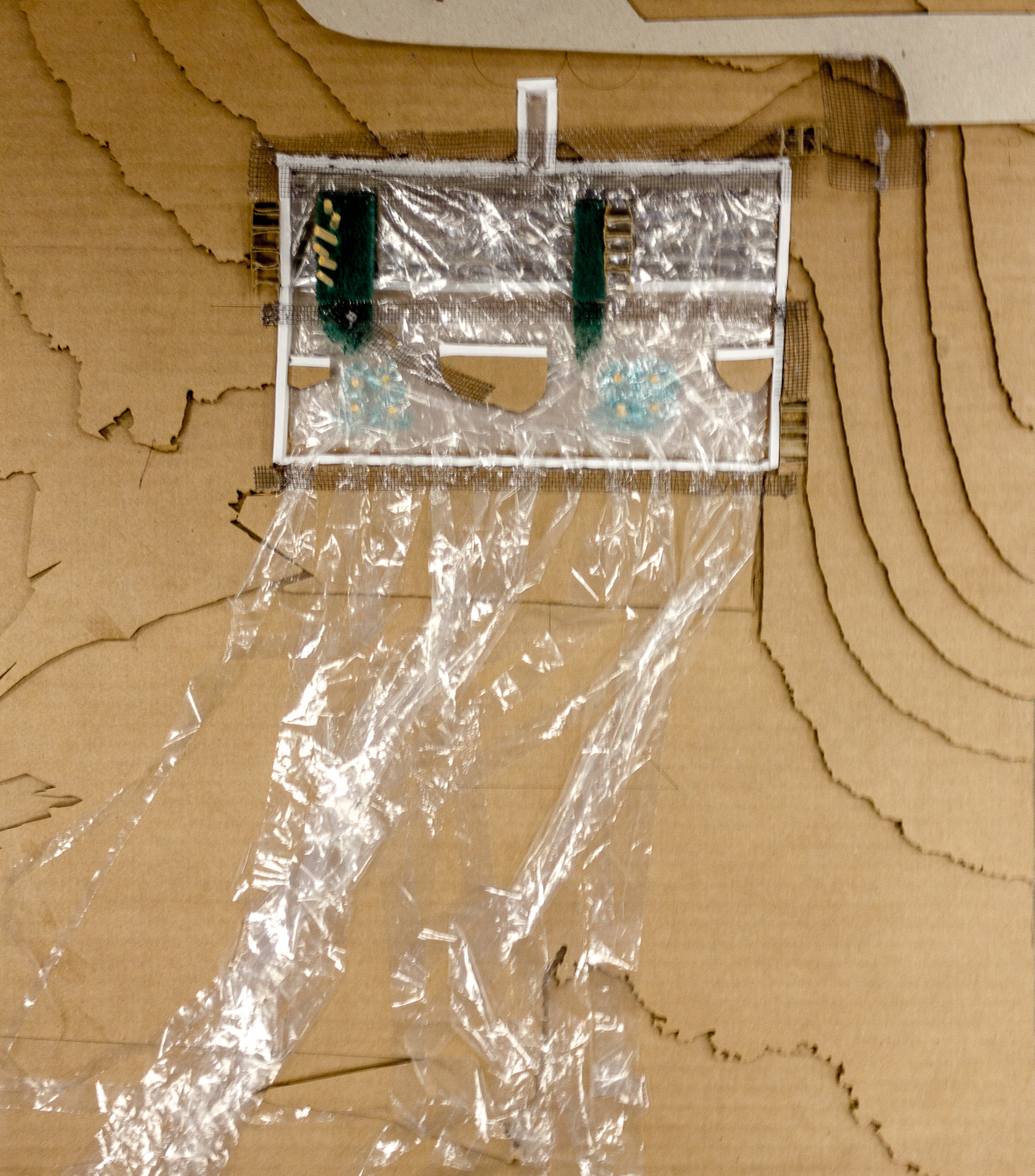
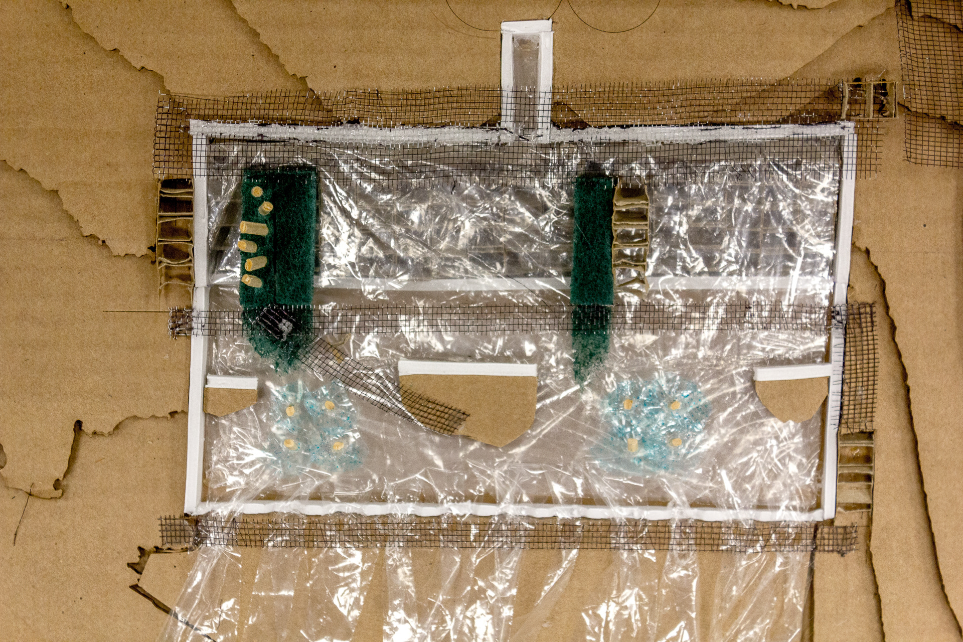
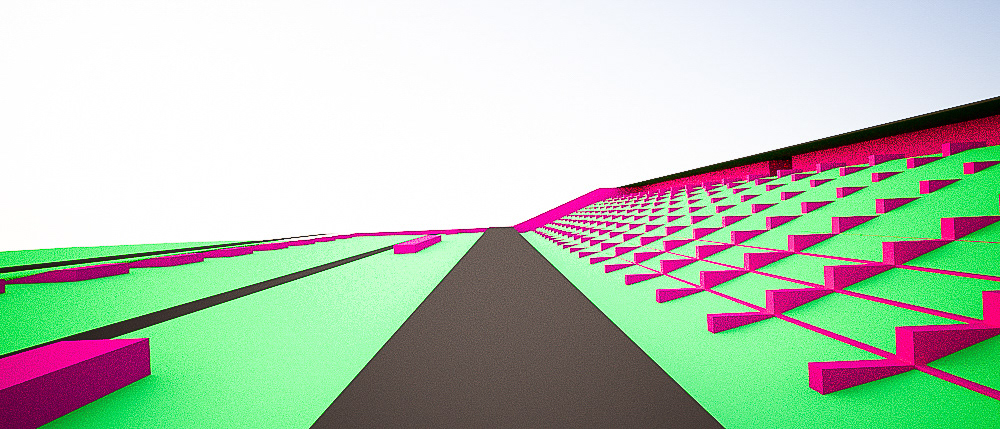
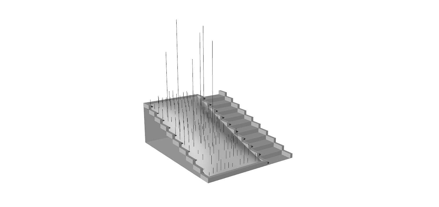
Modelling the Concept
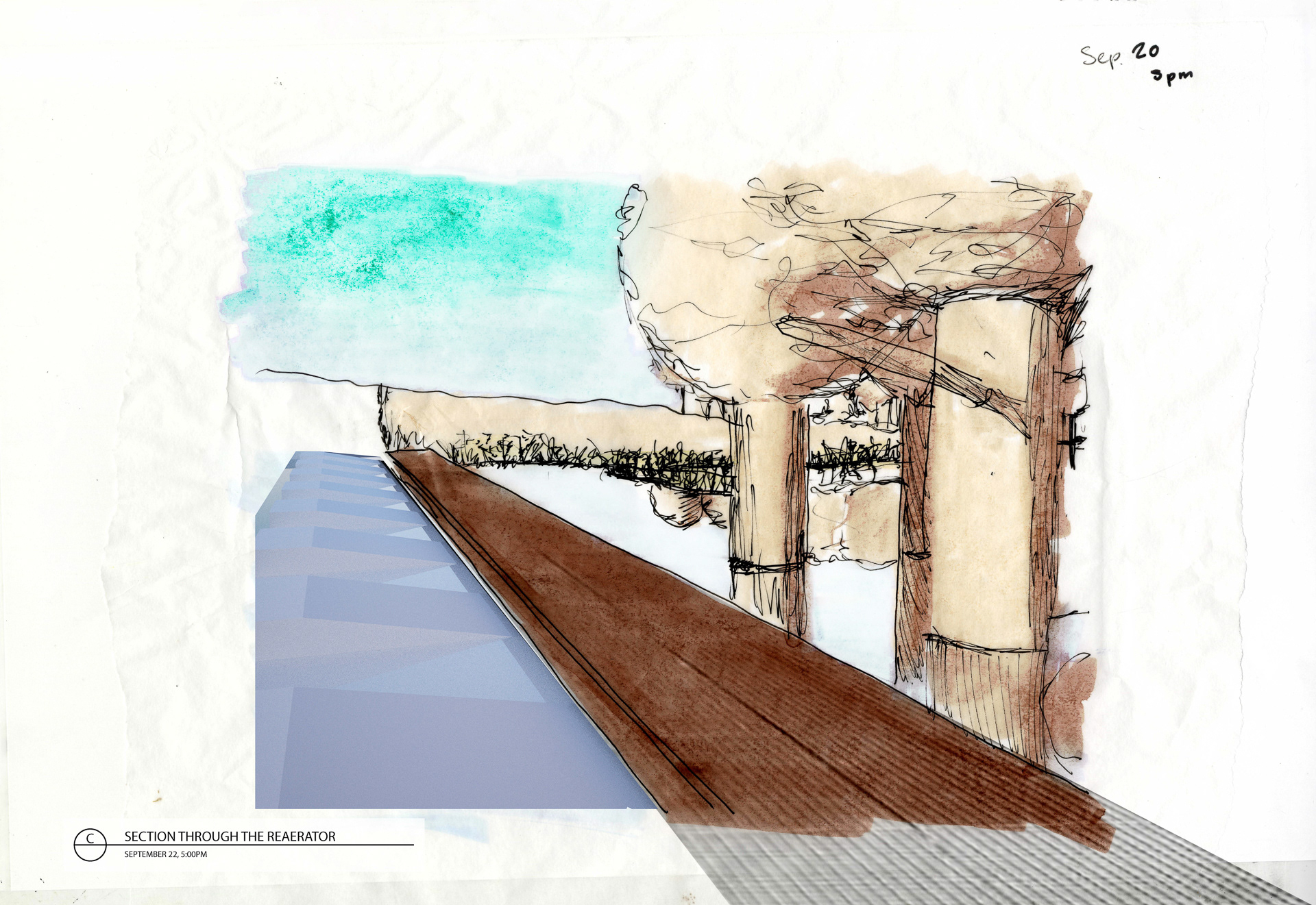
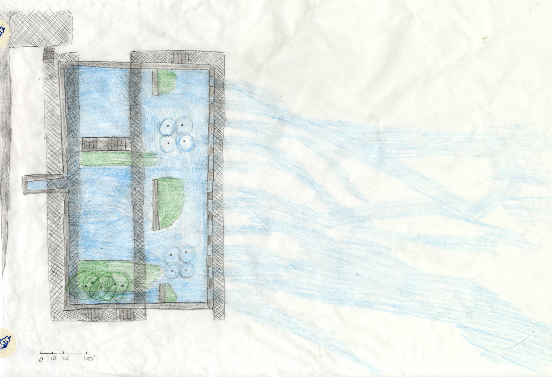
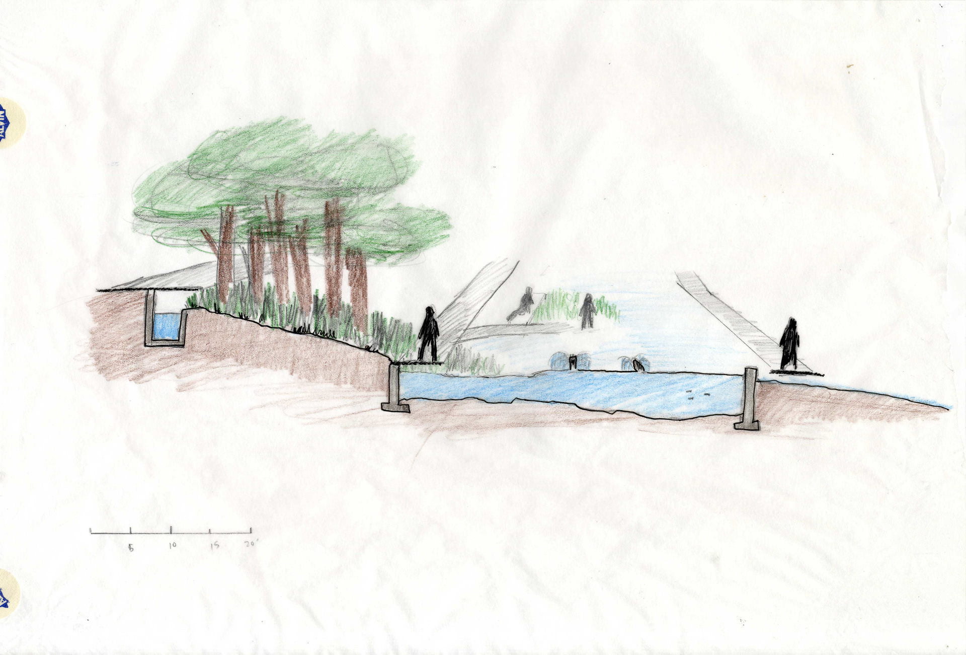
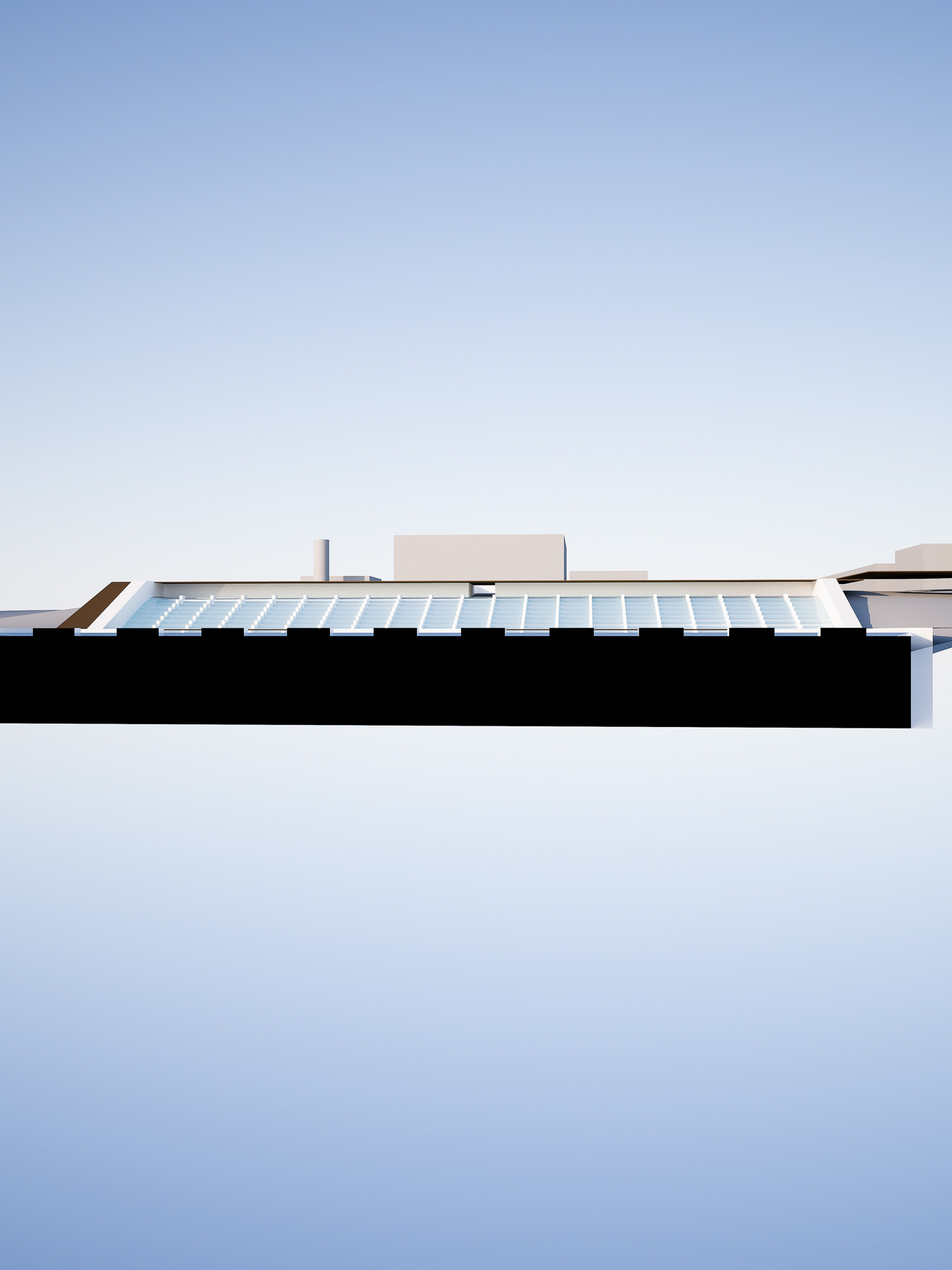
Plan and section drawings created using the model photography.
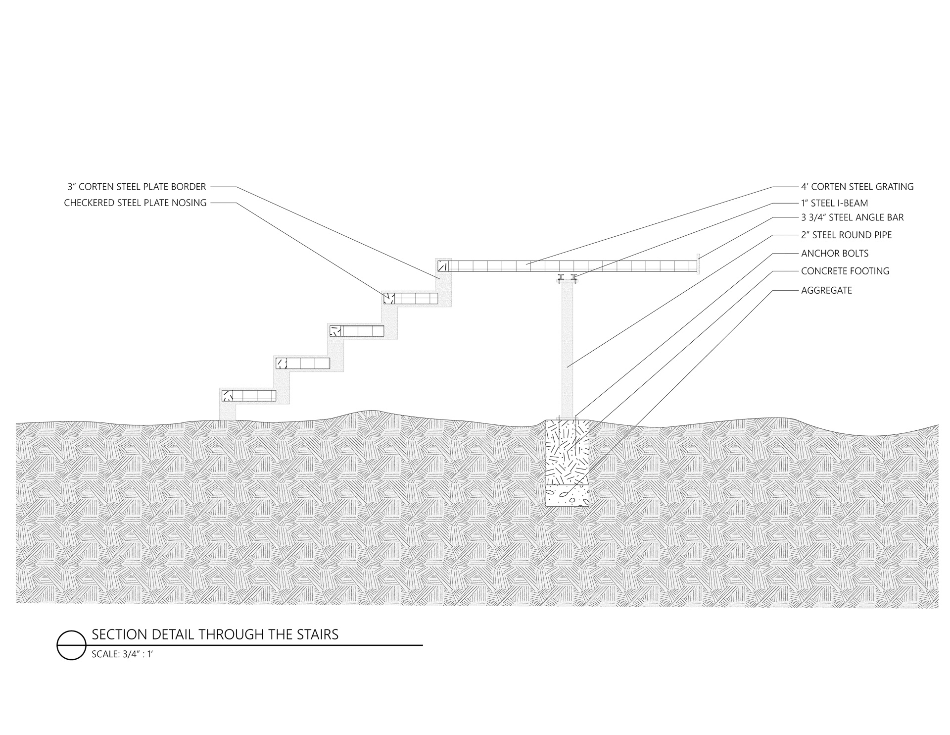
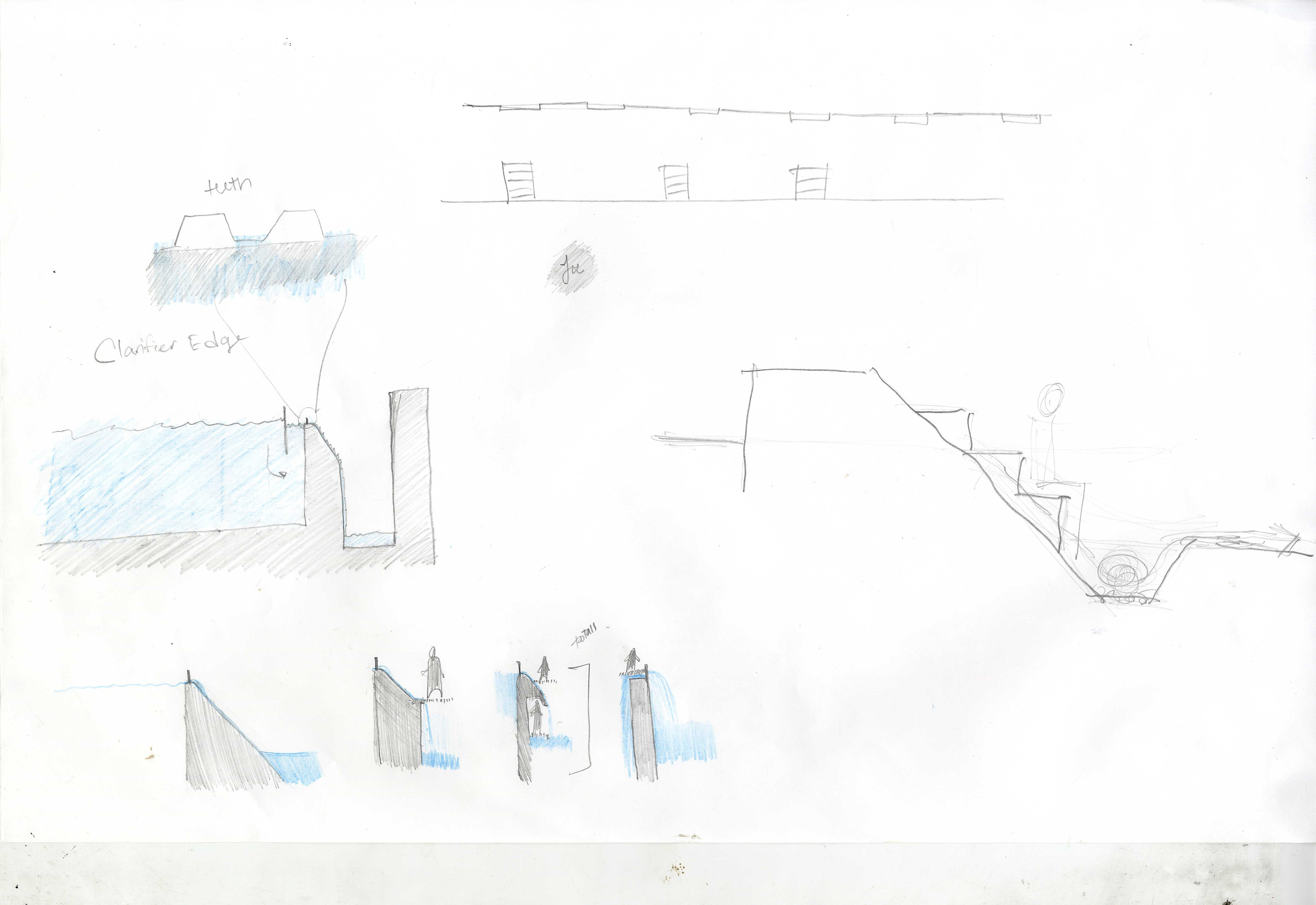
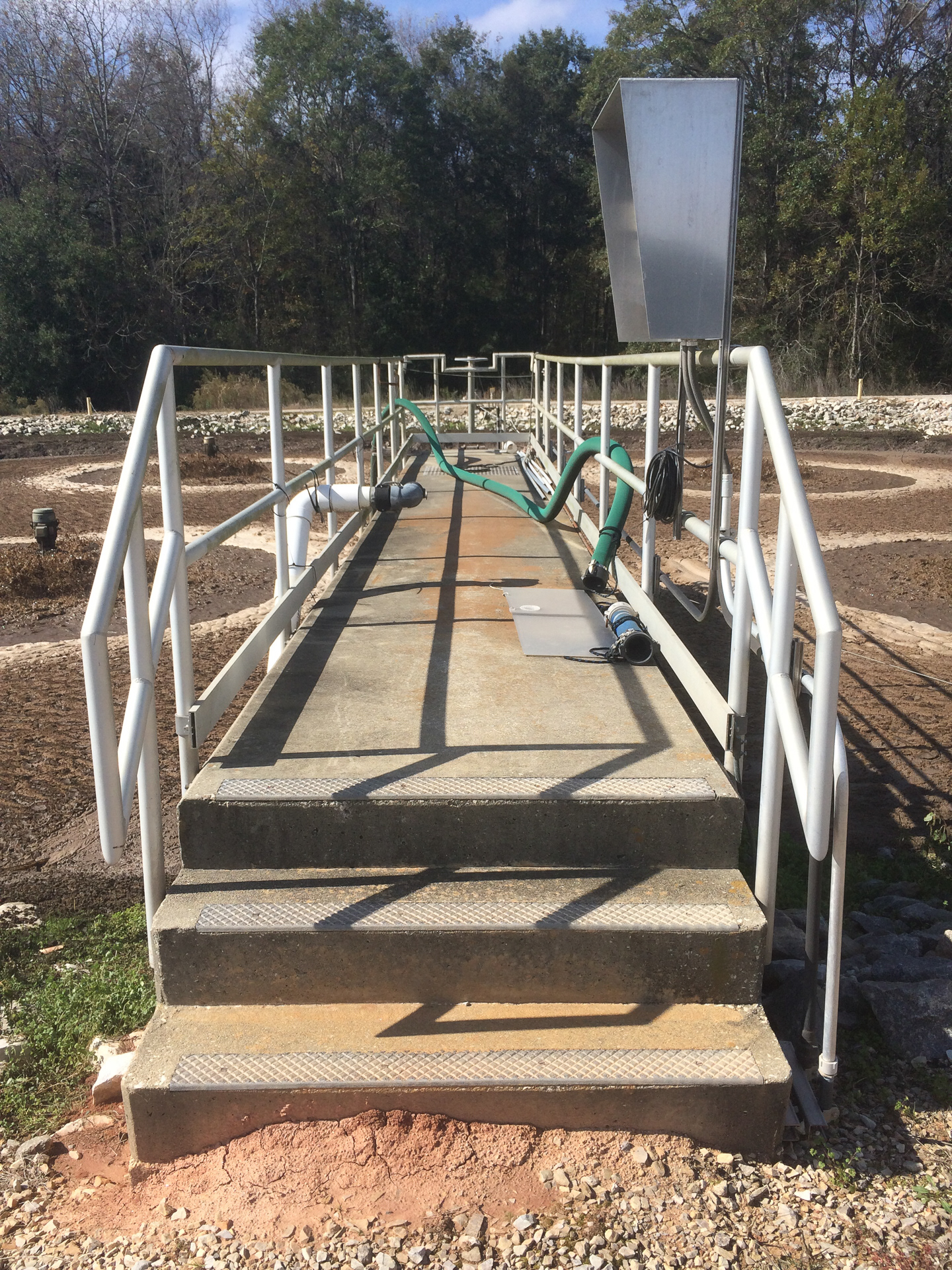
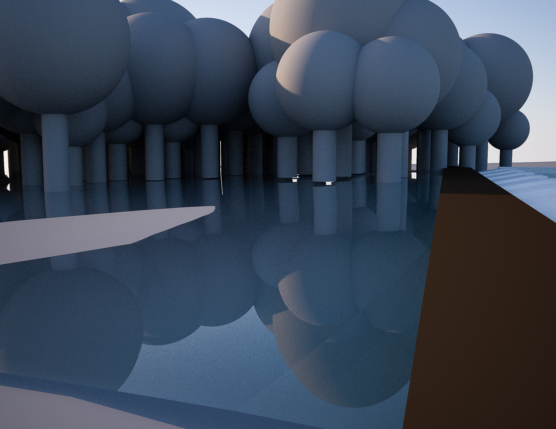
Returning to the Site - Understanding Infrastructural Language
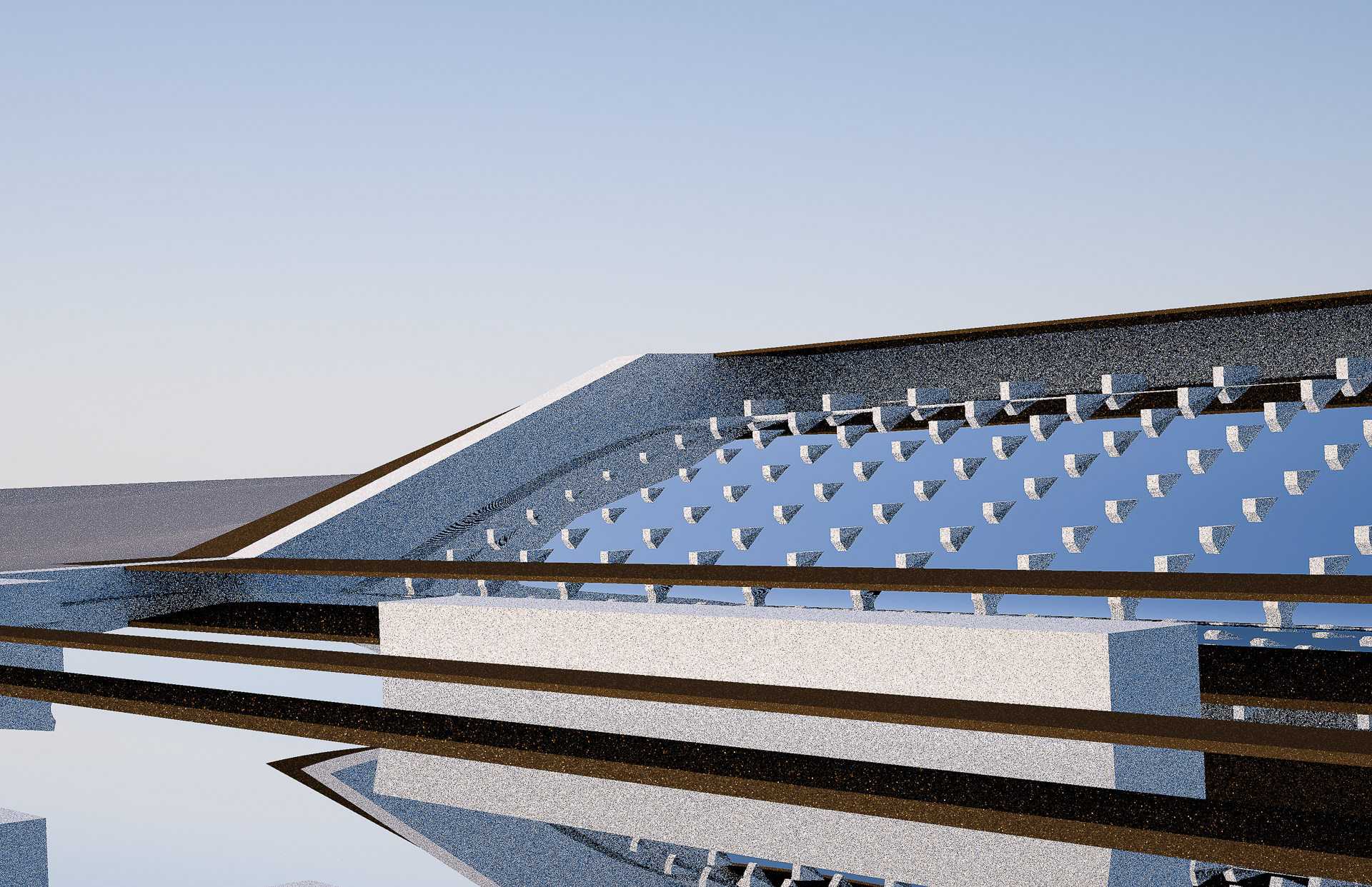
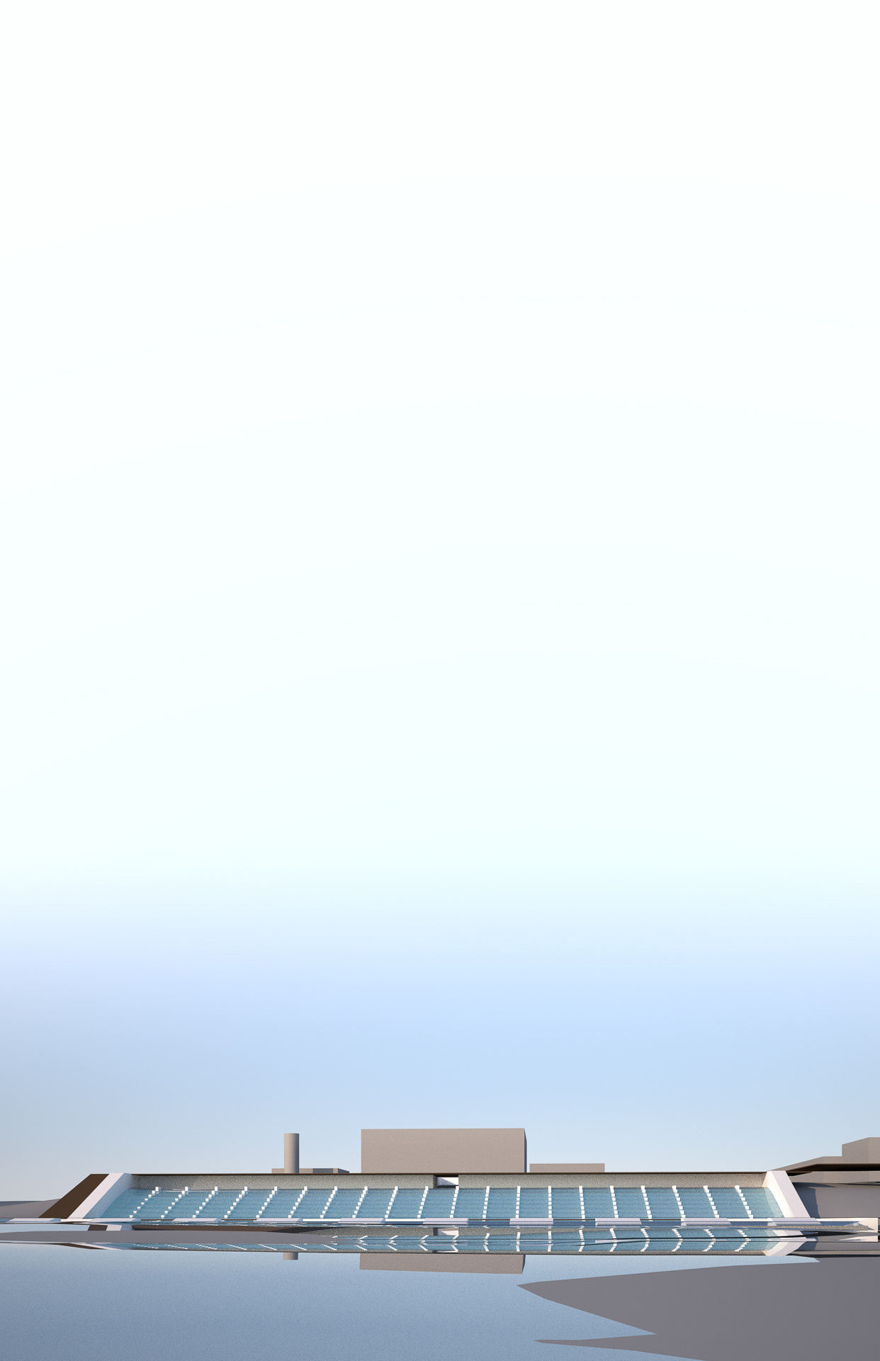
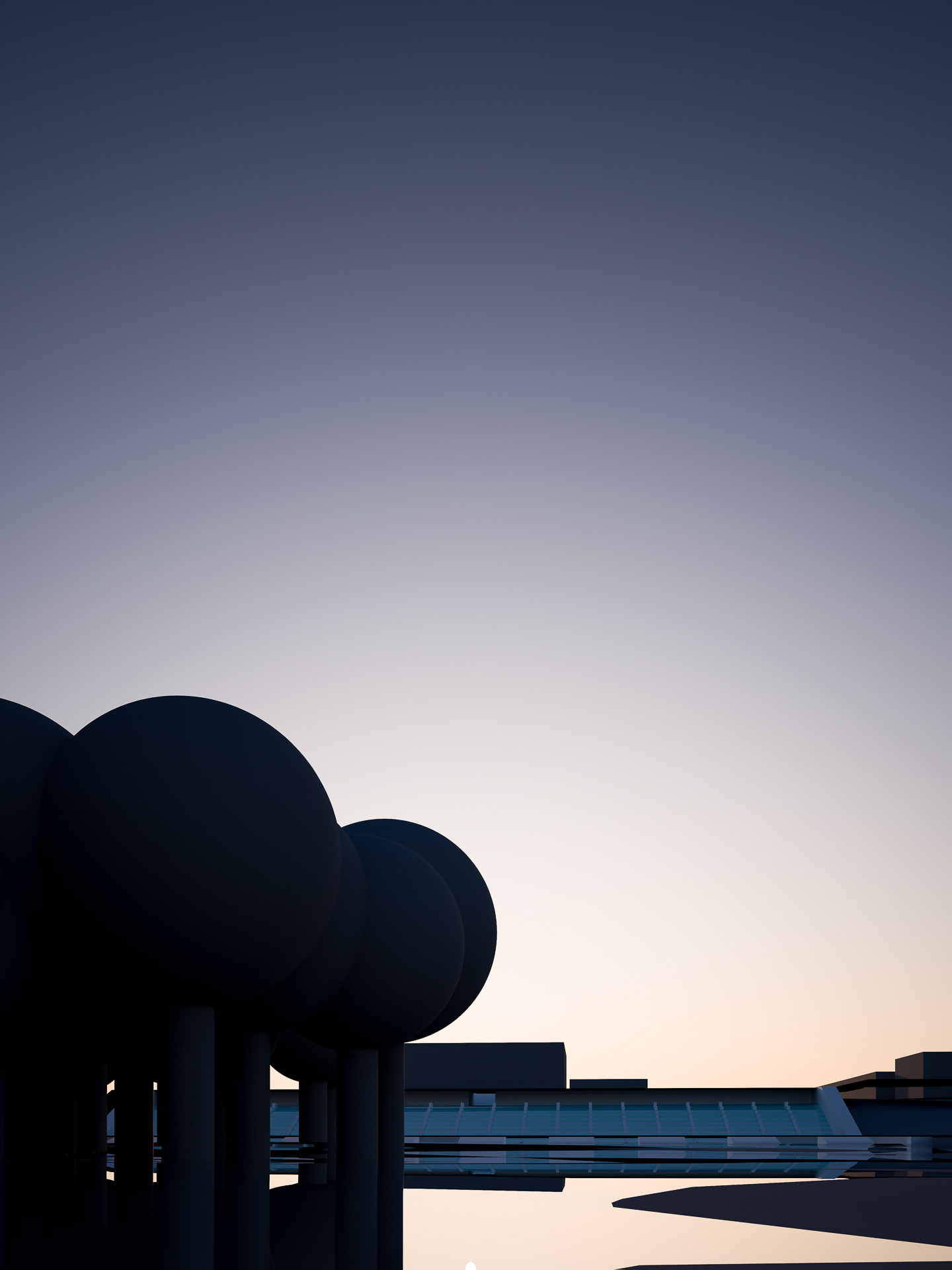
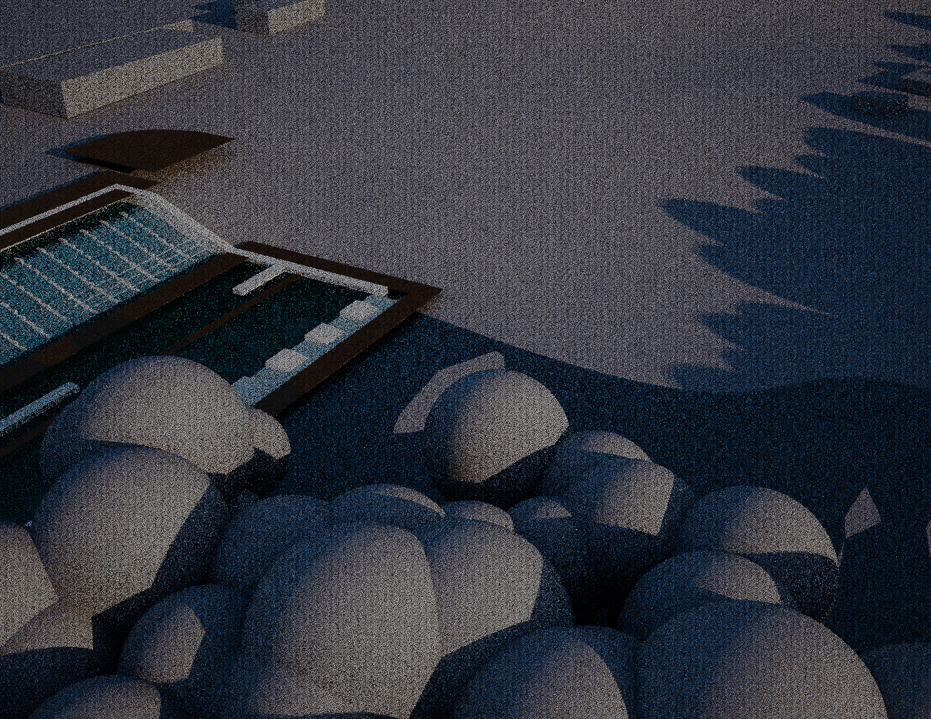
Digital Model of the Proposal


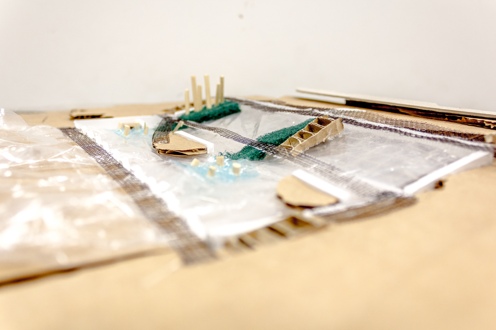
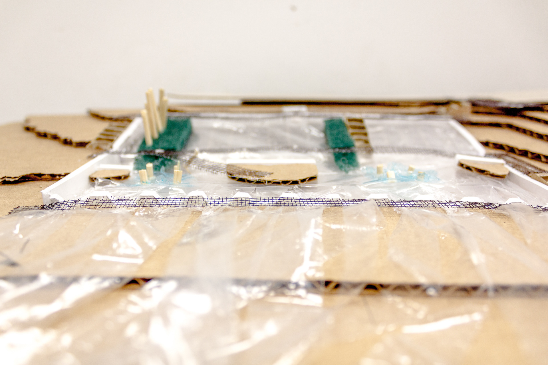
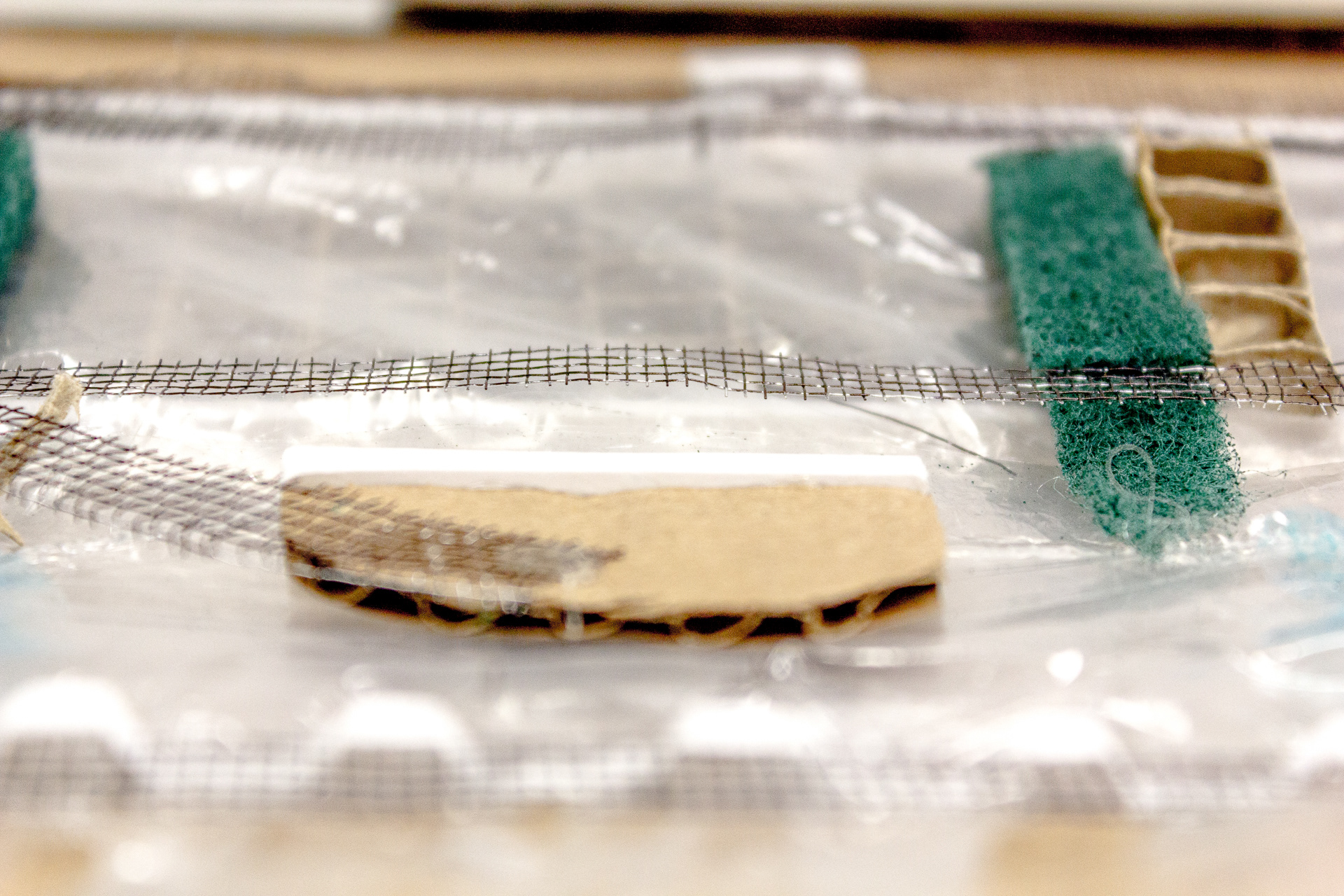
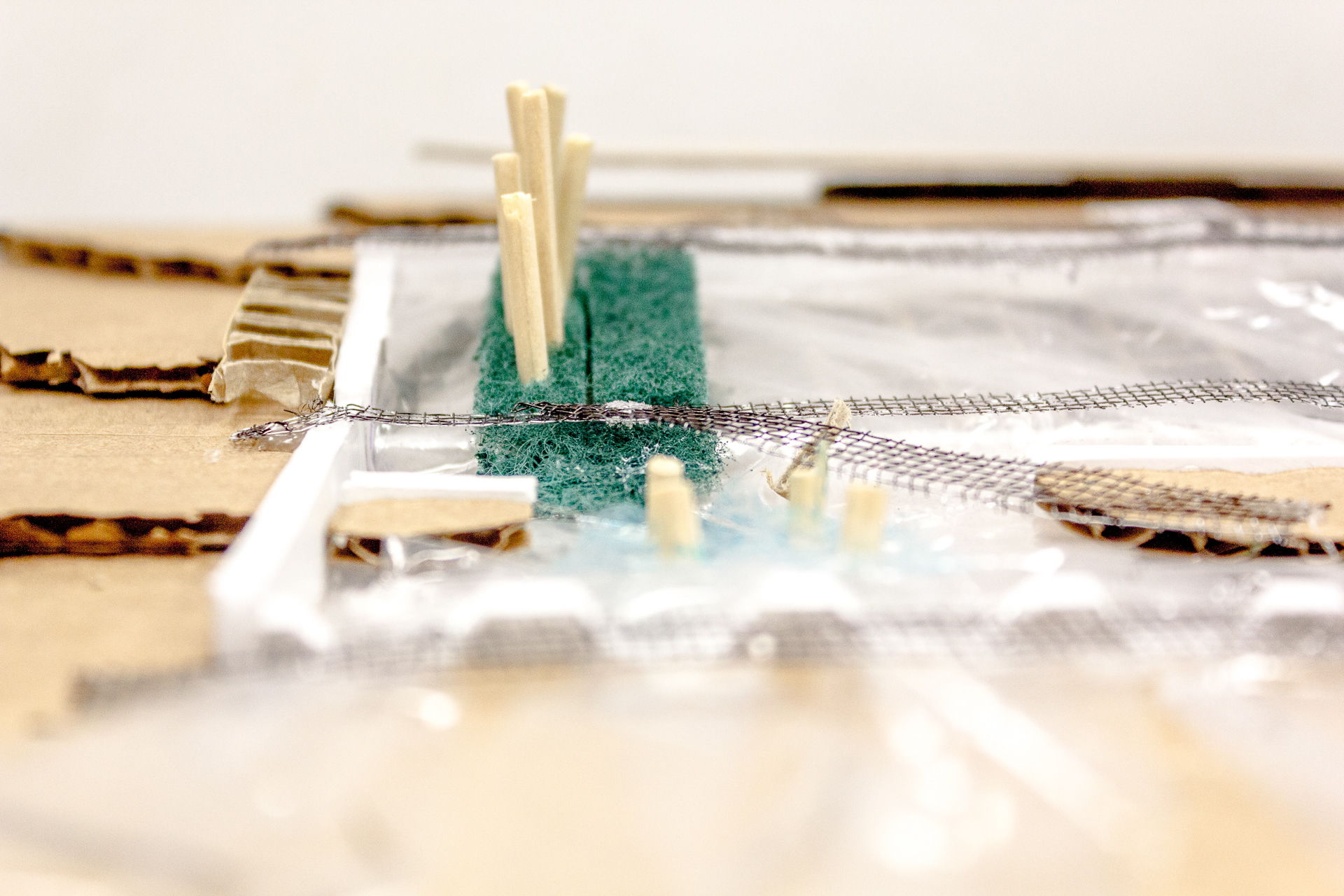
Back to Cardboard
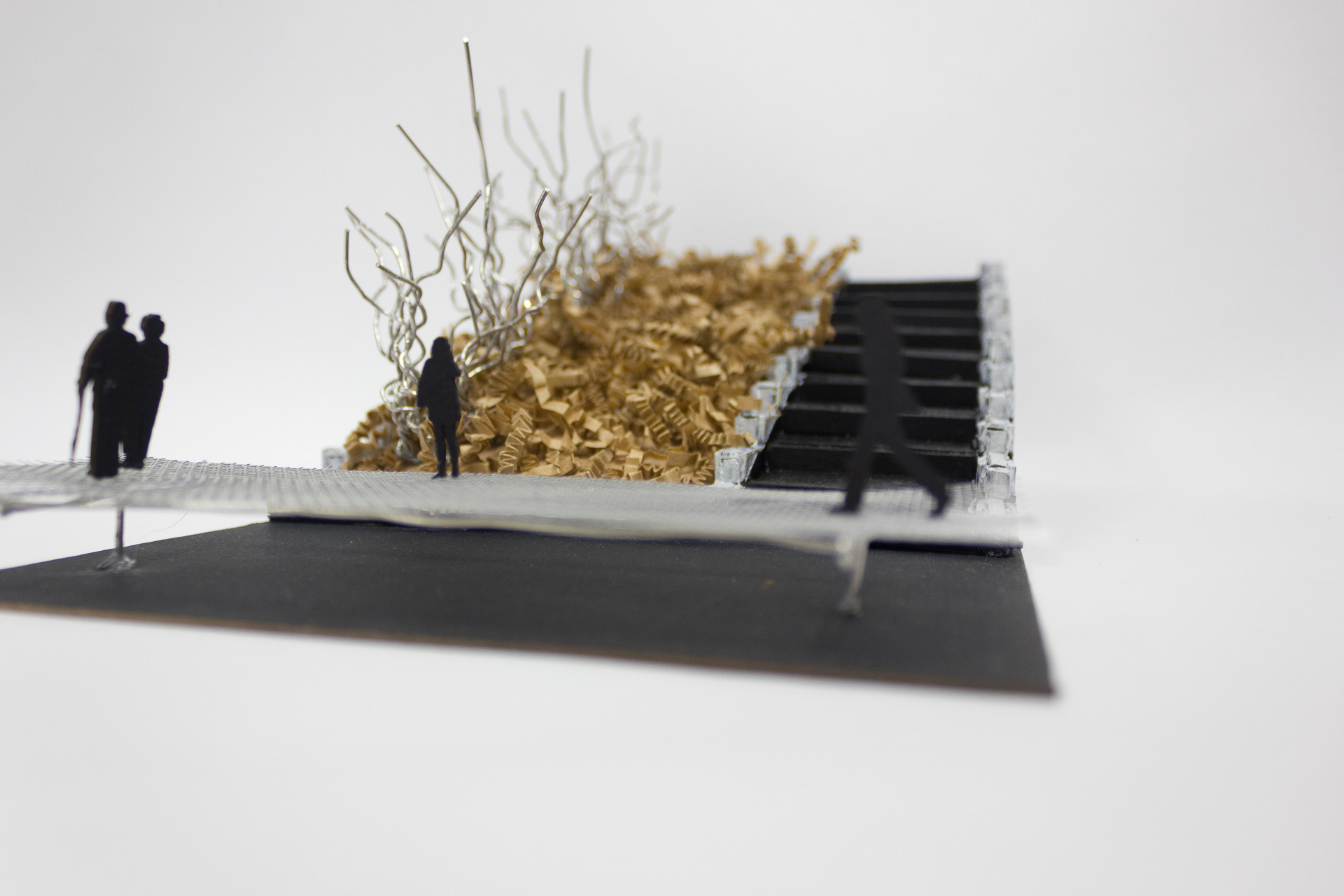
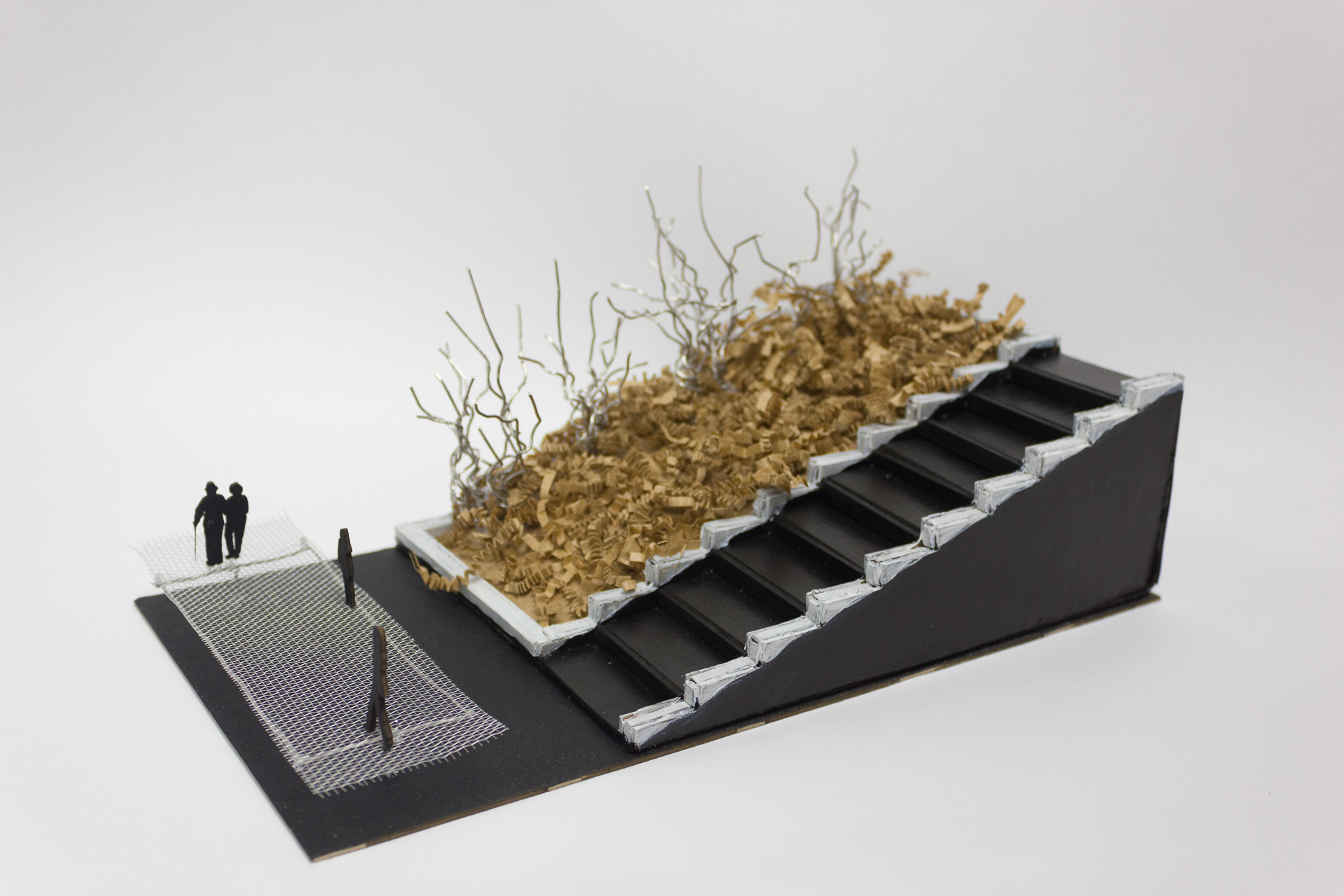
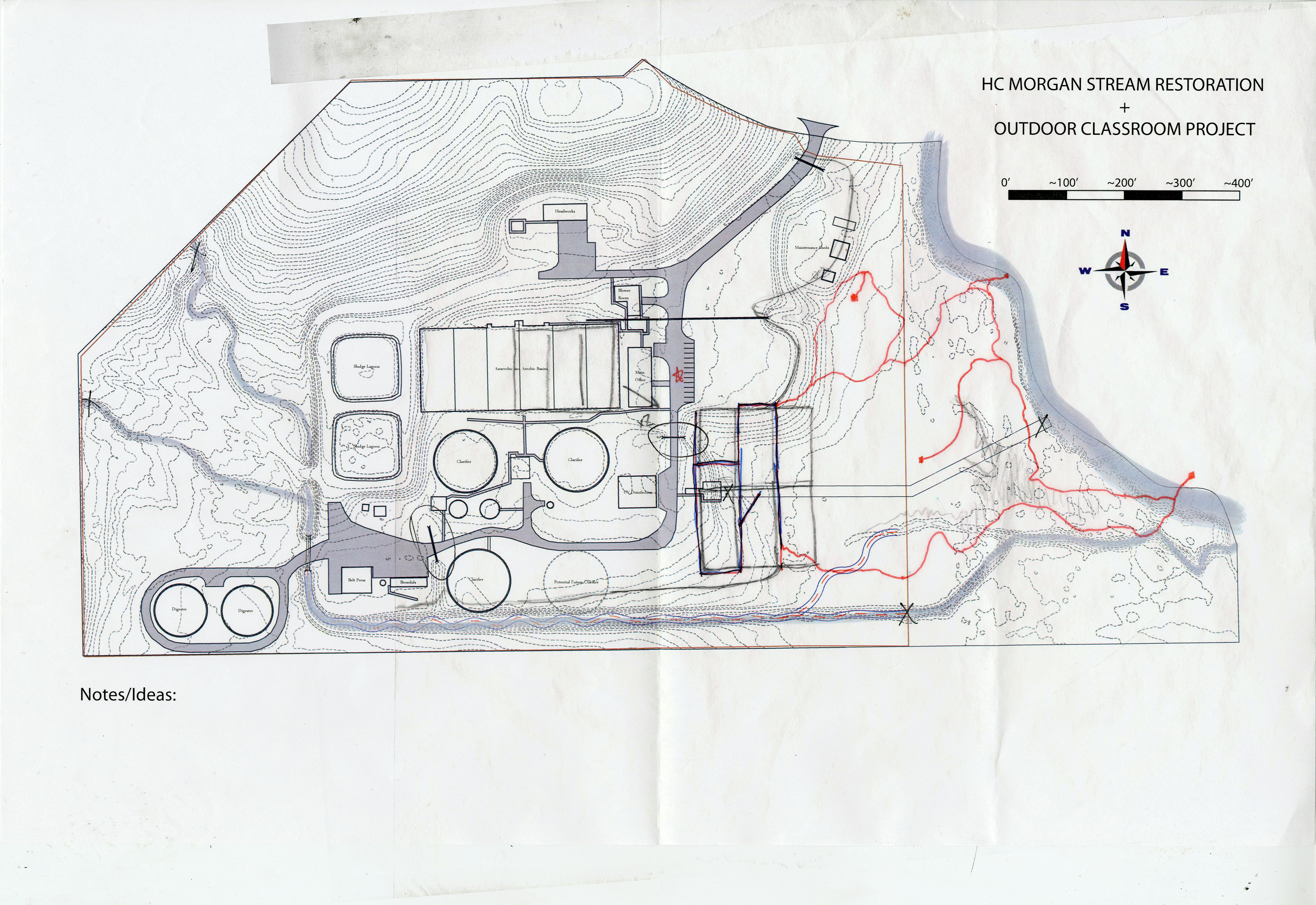
Presentation